Rip's Ledge from Winter Clove Inn
Posted: Mon May 20, 2013 11:09 am
On Saturday, I decided to do a small hike alone. I decided to hike Rip's Ledge (also known as Rip's Rock). I headed down to Winter Clove Inn. From there I hiked across the field (heading south) below the Inn. At the end of the field I picked up the trail. Most of the trails in the lower and middle section were wide and maintained. When I got up further I then entered the Rip's Ledge Loop. This part of the trail is less maintained, so you have to pay attention to where you are going. I took the upper loop. After climbing for a while, I came to Indian Lookout. It is a nice ledge with a nice view looking east towards the Hudson River. From there I continued down the trail. Apparently, I wasn't paying attention and walked off the trail. After a few minutes I hit the lower part of the trail and follow it. As I climbed higher the trail became harder to follow, but not impossible. I just had to pay attention. At one point there were a number of trees down, so I was confused for about a minute. But, then found my way up the rock cut. I then exited out onto Rip's Ledge. Rip's Ledge is directly above the old Rip Van Winkle House site, and the house is near Rip's Boulder. The view from Rip's Ledge is spectacular. There are tons of blueberry bushes up there. I spent about a half-hour up there enjoying the view and taking pictures. I actually, got a little click-happy. It was very windy, so I was limited. I then headed back down. This time I took the lower part of Rip's Loop. I also did a little exploring while I was there. There are a number of old homesteads out there. The hike is about 4 miles round trip with elevation climb of 900 vertical feet. But, with my diversions I hiked about 6.25 miles. I should also note that this ledge is quite high, so you need to be careful near the edge. Not a good place to visit in the Winter. Here are some pics:
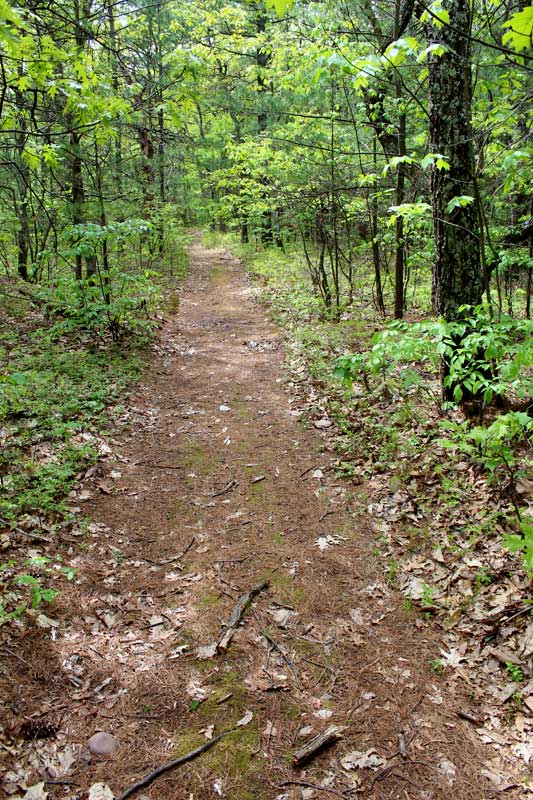
This is what most of the trail looked like - easy hiking
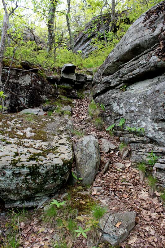
This is the hardest part - which wasn't that hard
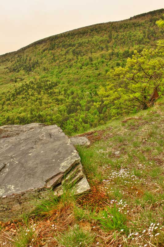
Rip's Ledge - Looking up towards North Mtn
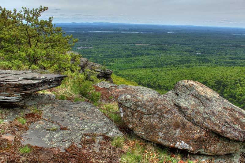
Rip's Ledge - Looking towards the Hudson River
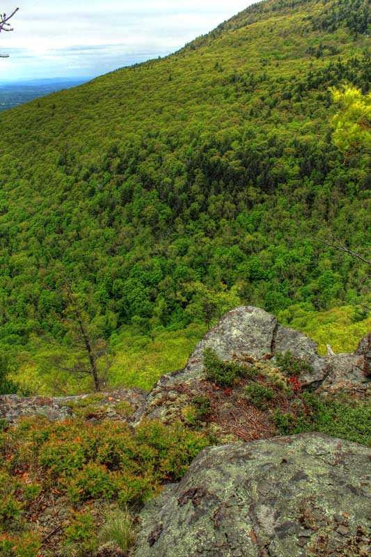
Rip's Ledge - Looking up towards North Mtn
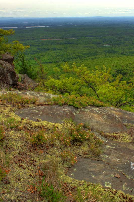
Rip's Ledge - Looking towards the Hudson River
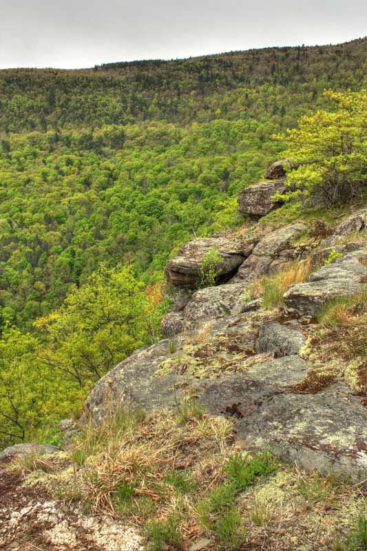
Rip's Ledge - Looking up towards North Mtn
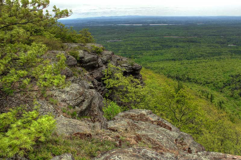
Rip's Ledge - Looking towards the Hudson River
This is what most of the trail looked like - easy hiking
This is the hardest part - which wasn't that hard
Rip's Ledge - Looking up towards North Mtn
Rip's Ledge - Looking towards the Hudson River
Rip's Ledge - Looking up towards North Mtn
Rip's Ledge - Looking towards the Hudson River
Rip's Ledge - Looking up towards North Mtn
Rip's Ledge - Looking towards the Hudson River