Arizona Mtn & Shingle Kill Creek
Posted: Sat Jan 07, 2012 10:40 pm
During Hurricane Irene, the Single Kill Creek opened up, and it looked like a large slide off Arizona Mountain. It could be seen from Cairo and Greenville. We had waited all Fall before visiting it. Today was the day to finally visit it.
We parked at the end of Stork Nest Road and hiked about 3/4 of a mile up the trail. Once on State land, we started to bushwhack across the Eastern Escarpment. We stayed around 1600-1900' most of the time. Anyone who has visited Arizona Mountain will tell you that mountain hardly seems like a mountain when walking across the Eastern Escarpment Trail. But, from 2,000' below it looks like a huge mountain.
We crossed six streams to get to Shingle Kill Creek. Some of the creeks had some steep and deep ravines. Some creeks were frozen, and some were not. Some places had old logging trails, and other places had herd trails. But, in other locations, there were thick Mountain Laurel. Bushwhacking wasn't too bad.
Once we arrived at the "Arizona Slide", we discovered that Shingle Kill Creek had a very deep ravine. It appears that part of the mountain slide off and blocked off the Shingle Kill Creek. Once the water built up it finally broke and created a huge wall of water down the creek. The creek now has a ravine that is 50-200' deep. It is massive and scary looking. Further down the Shingle Kill Creek it has a massive ravine. The total distance today was 8.1 miles. Here are some pictures:
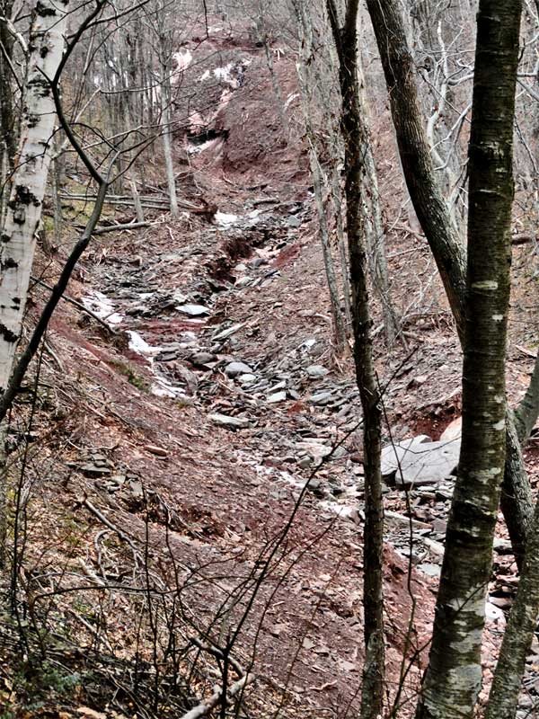
Top of the Arizona Slide - The black hole at the top is about 30-40' high. The white speck is the stream. The walls are 50-200' high. It is a massive looking ravine.
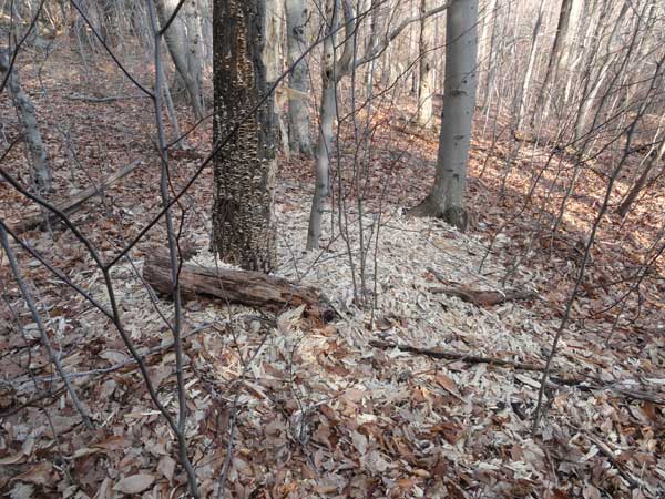
A woodpecker was quite busy
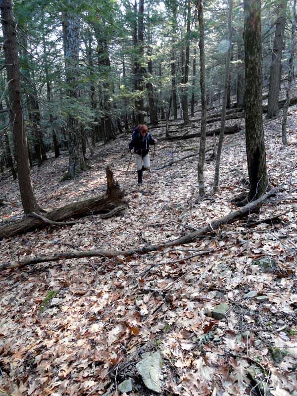
Part of our bushwhack to the bottom of Arizona Mountain
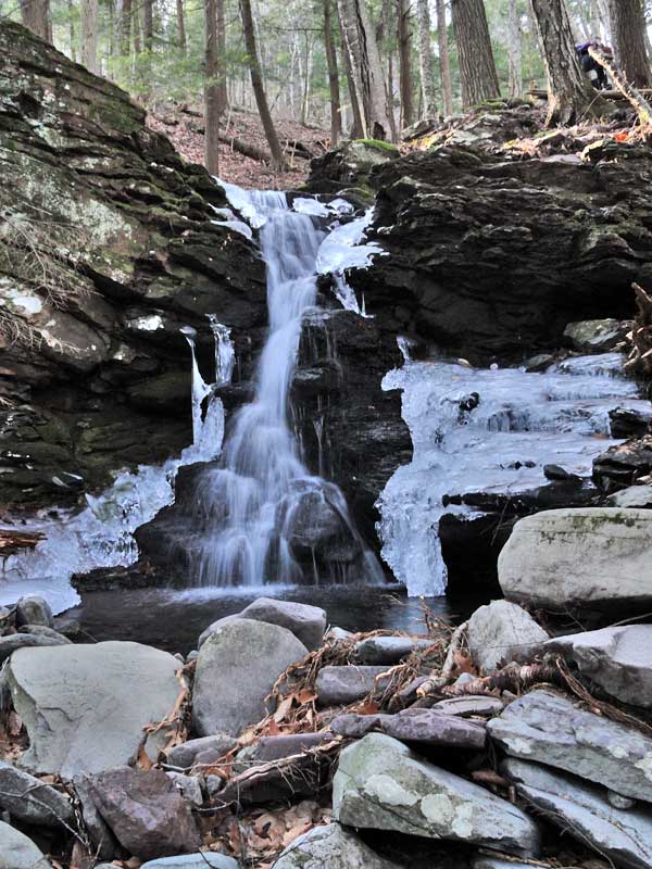
Nice waterfall on our way
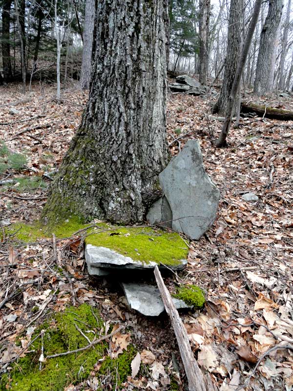
Rock growing in the tree

Weird looking tree
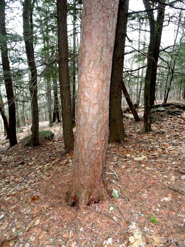
Red Pine trees
We parked at the end of Stork Nest Road and hiked about 3/4 of a mile up the trail. Once on State land, we started to bushwhack across the Eastern Escarpment. We stayed around 1600-1900' most of the time. Anyone who has visited Arizona Mountain will tell you that mountain hardly seems like a mountain when walking across the Eastern Escarpment Trail. But, from 2,000' below it looks like a huge mountain.
We crossed six streams to get to Shingle Kill Creek. Some of the creeks had some steep and deep ravines. Some creeks were frozen, and some were not. Some places had old logging trails, and other places had herd trails. But, in other locations, there were thick Mountain Laurel. Bushwhacking wasn't too bad.
Once we arrived at the "Arizona Slide", we discovered that Shingle Kill Creek had a very deep ravine. It appears that part of the mountain slide off and blocked off the Shingle Kill Creek. Once the water built up it finally broke and created a huge wall of water down the creek. The creek now has a ravine that is 50-200' deep. It is massive and scary looking. Further down the Shingle Kill Creek it has a massive ravine. The total distance today was 8.1 miles. Here are some pictures:
Top of the Arizona Slide - The black hole at the top is about 30-40' high. The white speck is the stream. The walls are 50-200' high. It is a massive looking ravine.
A woodpecker was quite busy
Part of our bushwhack to the bottom of Arizona Mountain
Nice waterfall on our way
Rock growing in the tree
Weird looking tree
Red Pine trees