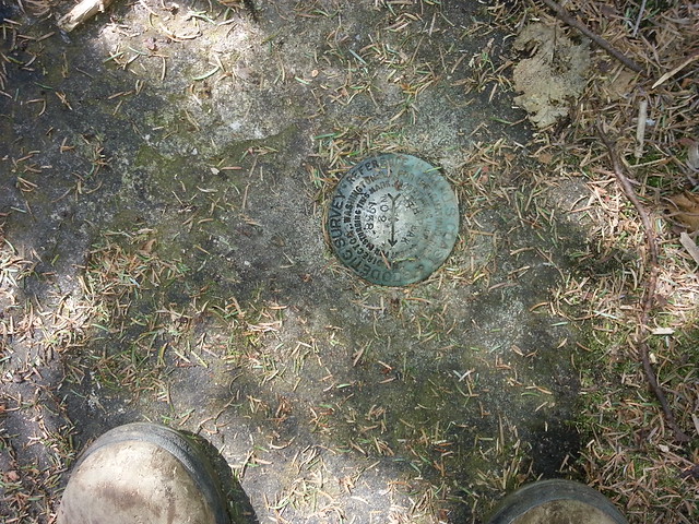
KHP (West Access) - May 4th 2013
Posted: Mon May 06, 2013 10:45 am
On Saturday, May 4, 2013, a bunch of us got together and hiked the KHP from the west side. A number of other people had planned on the hike, but backed out due to a variety of reasons. So, in the end, it was Rich, Kevin, Alexis and me. We had two rules: (1) Have fun; (2) And, take our time and enjoy this beautiful day. It was a great group of people. It was a beautiful Blue-Bird day with low humidity and temperatures in the 60's.
It was around 10am by the time we all arrived and got our gear ready to go. Our starting point was at the end of Gillespie Road on DEP land. We headed up the trail. At the top of the hill we headed off into the woods to arrive at the intersection of the Snowmobile Trail. This small bushwhack cut off about a 1-1/4 miles off the trail. We came out about 100' below the intersection. We then hiked up the northern side of the Snowmobile Trail. This part of the trail was dry, but it usually is. Actually, it is the only dry part of the trail. When we reached the top of the hill we headed up the Western ridge to Round Top and KHP Mtns. The old trail was full of blow down and leaves. At times, it was difficult to follow, but not terrible. We passed through the two conifer forest. Both were beautiful. We then approached Round Top Mtn. We had to scrabble up to the 3250' ledge on the north side of Round Top Mtn. We then walked across the ledge. From time-to-time you could see down to North-South Lake. The warblers were chirping away. If you stop on the 3250' ledge you can see many of them flying around. There away seems to be a high concentration of them on the 3250 ledge.
From there we climbed down into the col between Round Top and KHP Mtn. We then worked our way up the northern side of the col until we reached the Tory Fort. From there we worked our way over to the Hanging Ledge. We stopped and had lunch there. There was still a big chunk of ice there. And, we suspect that it will be there for a couple more weeks. Who knows, maybe it will still be there on June 1st. We took a few pictures before we headed up the trail.
We then worked our way up the more obvious trail to KHP. Even with it being more obvious, we still walked off the trail a couple times. It was a little bit steeper, but still fairly easy incline. There were some small views on the way up. Near the top, we took a wrong turn, and had to bushwhack through the dense conifers. We did run into another hiker who was hiking up behind us. When we reached the summit, we took some pictures and headed down to the northeast ledge.
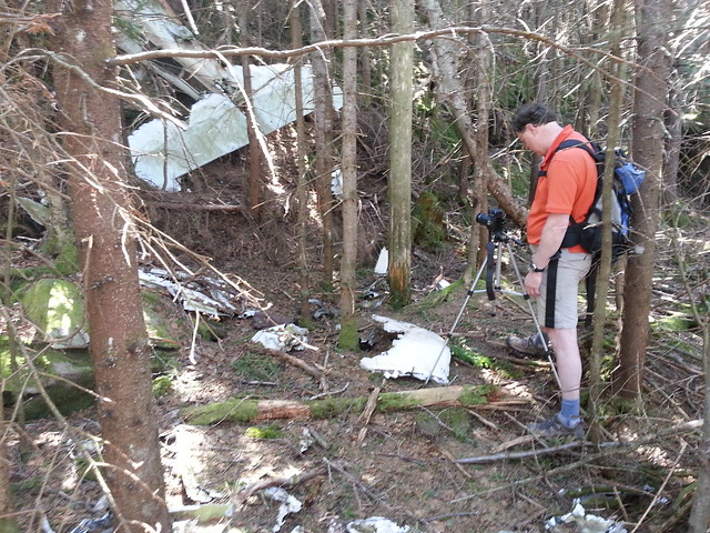
When we got to the NE ledge we took some pictures. Unfortunately, I didn't bring my polarizing filter, so the pics didn't turn out as good as they could have. We then carried the plane crash crankshaft back to it's rightful resting place. Hopefully, no one else will move it. It was a stunning beautiful day with great views. We then walked over to the upper plane crash on KHP. Took some pics, and hiked back up to the summit.
We then hiked down to Hurricane Ledge. The views were great, but the sun was shining up towards us. But, it was in the afternoon, so that was to be expected. We stopped and enjoyed the view. We then hiked backup to the summit. We then contemplated if we should hike down to the col, and then bushwhack down to the Snowmobile Trail, or hike down the North Access. We then decided to hike down the North Access. There were still patches of snow here-and-there.
Once back on the Snowmobile Trail, we headed west to reconnect with the junction. Even though it was very dry, the Snowmobile trail still had deep water and mud in sections. Once back at the Snowmobile Junction we bushwhacked to the car. When we got near the car, we heard a Barred Owl. We called back to it trying to get it to fly to us. We spent a good 5-10 minutes calling back-and-forth. Entertaining, but we didn't get to see the owl.
Rich decided to drive home, but the rest of us went to the Last Chance Restaurant. The food was good. Tired, we all headed home. Overall, it was a great weather day, for a spectacular hike. Here are a few of the pics (Note: I had some pics of the group, but I have not processed them yet):
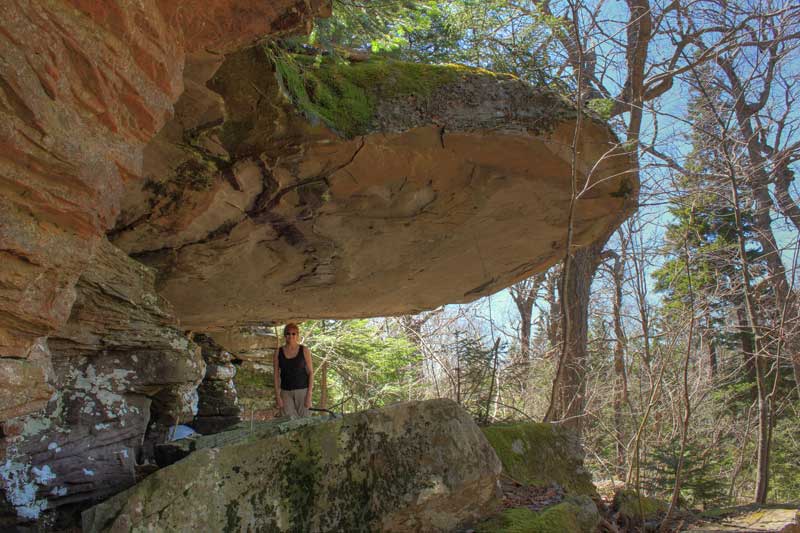
Hanging Ledge - Alexis standing under the ledge.
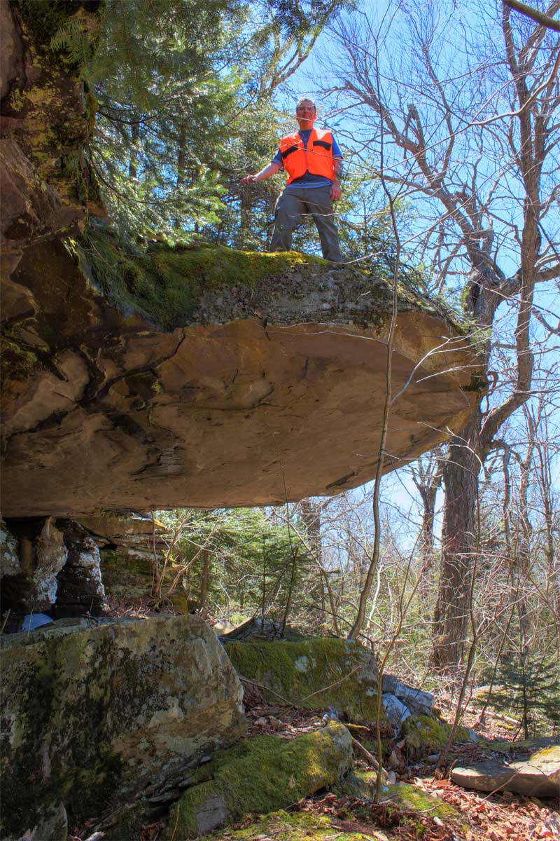
Rich standing on top of the Hanging Ledge
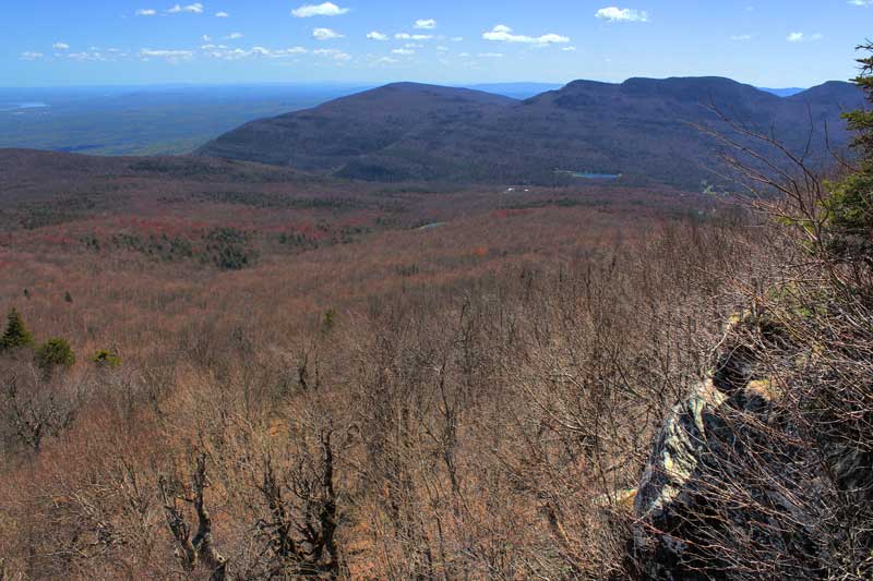
View of Platte Clove from the NE Ledge on KHP
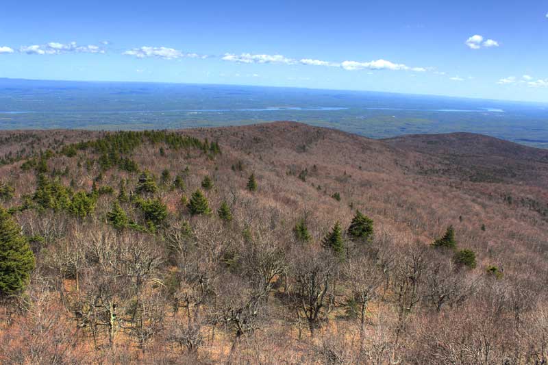
View of the Hudson River from the NE Ledge on KHP
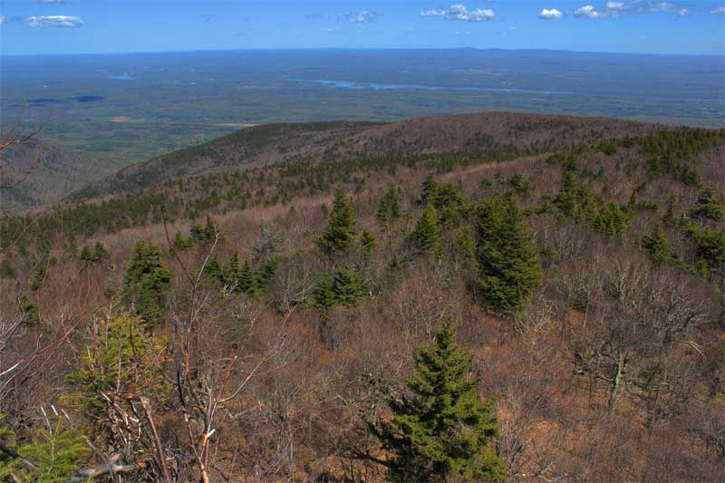
View looking north towards Palenville from the NE Ledge on KHP
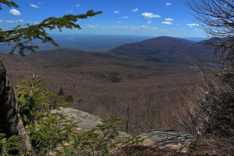
View of Platte Clove from the NE Ledge on KHP

Plane Crash near the summit of KHP
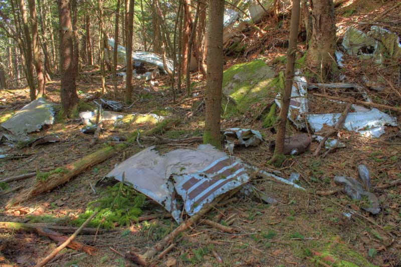
Plane Crash near the summit of KHP
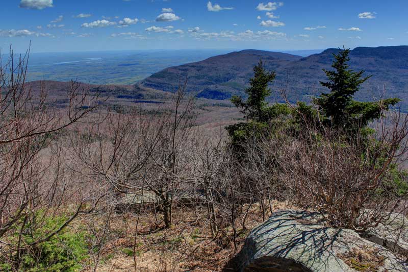
Hurricane Ledge
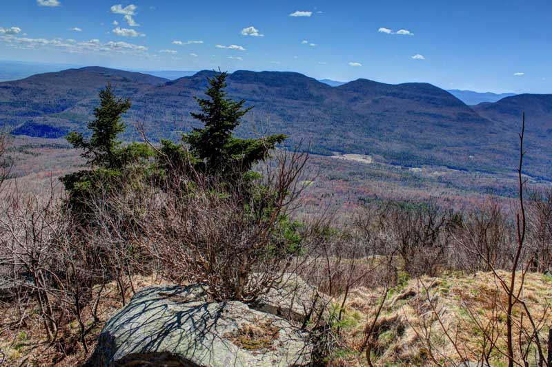
Hurricane Ledge
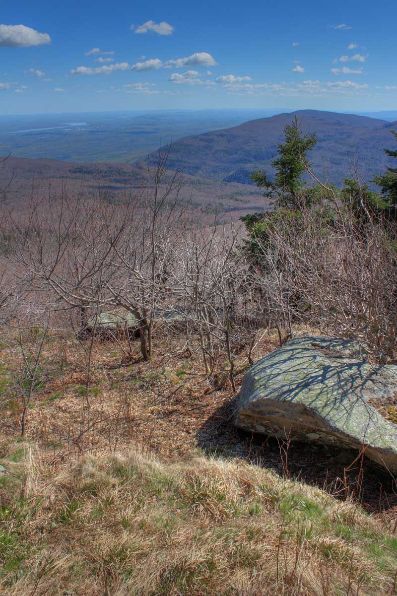
Hurricane Ledge
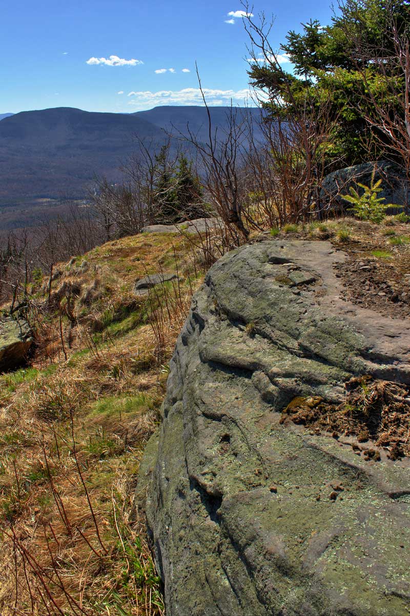
Hurricane Ledge
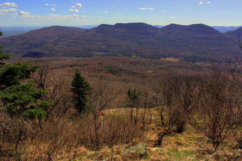
Hurricane Ledge
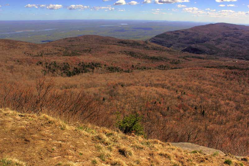
Hurricane Ledge
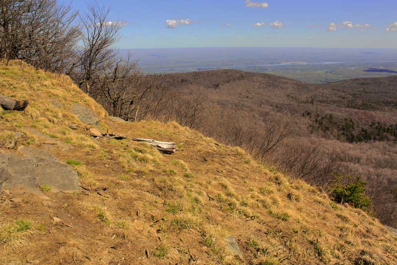
Hurricane Ledge
It was around 10am by the time we all arrived and got our gear ready to go. Our starting point was at the end of Gillespie Road on DEP land. We headed up the trail. At the top of the hill we headed off into the woods to arrive at the intersection of the Snowmobile Trail. This small bushwhack cut off about a 1-1/4 miles off the trail. We came out about 100' below the intersection. We then hiked up the northern side of the Snowmobile Trail. This part of the trail was dry, but it usually is. Actually, it is the only dry part of the trail. When we reached the top of the hill we headed up the Western ridge to Round Top and KHP Mtns. The old trail was full of blow down and leaves. At times, it was difficult to follow, but not terrible. We passed through the two conifer forest. Both were beautiful. We then approached Round Top Mtn. We had to scrabble up to the 3250' ledge on the north side of Round Top Mtn. We then walked across the ledge. From time-to-time you could see down to North-South Lake. The warblers were chirping away. If you stop on the 3250' ledge you can see many of them flying around. There away seems to be a high concentration of them on the 3250 ledge.
From there we climbed down into the col between Round Top and KHP Mtn. We then worked our way up the northern side of the col until we reached the Tory Fort. From there we worked our way over to the Hanging Ledge. We stopped and had lunch there. There was still a big chunk of ice there. And, we suspect that it will be there for a couple more weeks. Who knows, maybe it will still be there on June 1st. We took a few pictures before we headed up the trail.
We then worked our way up the more obvious trail to KHP. Even with it being more obvious, we still walked off the trail a couple times. It was a little bit steeper, but still fairly easy incline. There were some small views on the way up. Near the top, we took a wrong turn, and had to bushwhack through the dense conifers. We did run into another hiker who was hiking up behind us. When we reached the summit, we took some pictures and headed down to the northeast ledge.
When we got to the NE ledge we took some pictures. Unfortunately, I didn't bring my polarizing filter, so the pics didn't turn out as good as they could have. We then carried the plane crash crankshaft back to it's rightful resting place. Hopefully, no one else will move it. It was a stunning beautiful day with great views. We then walked over to the upper plane crash on KHP. Took some pics, and hiked back up to the summit.
We then hiked down to Hurricane Ledge. The views were great, but the sun was shining up towards us. But, it was in the afternoon, so that was to be expected. We stopped and enjoyed the view. We then hiked backup to the summit. We then contemplated if we should hike down to the col, and then bushwhack down to the Snowmobile Trail, or hike down the North Access. We then decided to hike down the North Access. There were still patches of snow here-and-there.
Once back on the Snowmobile Trail, we headed west to reconnect with the junction. Even though it was very dry, the Snowmobile trail still had deep water and mud in sections. Once back at the Snowmobile Junction we bushwhacked to the car. When we got near the car, we heard a Barred Owl. We called back to it trying to get it to fly to us. We spent a good 5-10 minutes calling back-and-forth. Entertaining, but we didn't get to see the owl.
Rich decided to drive home, but the rest of us went to the Last Chance Restaurant. The food was good. Tired, we all headed home. Overall, it was a great weather day, for a spectacular hike. Here are a few of the pics (Note: I had some pics of the group, but I have not processed them yet):
Hanging Ledge - Alexis standing under the ledge.
Rich standing on top of the Hanging Ledge
View of Platte Clove from the NE Ledge on KHP
View of the Hudson River from the NE Ledge on KHP
View looking north towards Palenville from the NE Ledge on KHP
View of Platte Clove from the NE Ledge on KHP
Plane Crash near the summit of KHP
Plane Crash near the summit of KHP
Hurricane Ledge
Hurricane Ledge
Hurricane Ledge
Hurricane Ledge
Hurricane Ledge
Hurricane Ledge
Hurricane Ledge