If you want to just look at post, you do NOT need an account.
But, if you want to post comments you need to open an account. Please:
Click Here to apply for an account.

Stoppel Point from Stork Nest Road

Kaaterskill Falls, North/South Lake, North Point, North Mtn, Palenville Overlook, Rip's House, South Mtn, Stoppel Point
Post Reply
User avatar
mike
Posts: 1444
Joined: Sun Aug 09, 2009 9:20 pm
Location: Ravena, NY

Stoppel Point from Stork Nest Road

Unread post by mike »

I have been busy, so I haven't been able to post my hike from August 12th. In the previous days, the Catskill Mountains had received over 5" of rain. So, I was hoping to have find out if the Countryman Kill Falls were running. But, as I hiked up from the parking lot, I couldn't hear any water crashing over the Falls. I was disappointed. Clearly we need another 5-10" of rain to catch up. But, Fall is right around the corner, and we are likely to get some tropical storms from the hurricane season. Hopefully, we don't get too much rain in one storm.

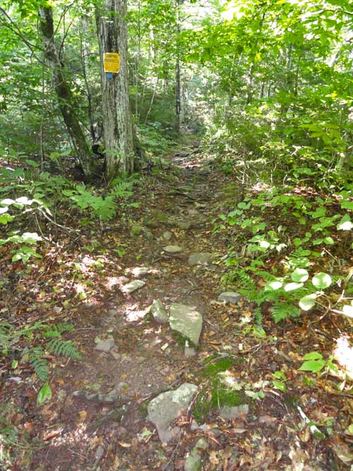
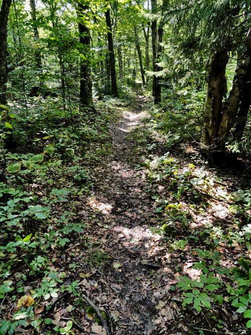
As I walked up the old Cairo road up to Dutcher's Notch the path was very dry. I didn't see water running anywhere. An unusual sight for this trail. The air was still a little humid because of the rain, but the ground was dry. When I got to Dutcher's Notch I then headed up the trail to Stoppel Point. The trail was dry, and hiking was easy. The flat sections were a joy to walk across. The few uphill walks were fairly easy.

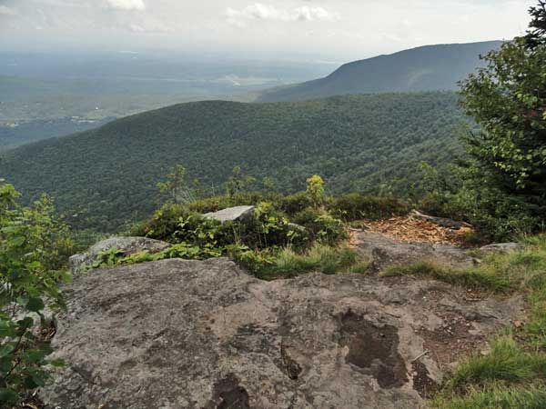
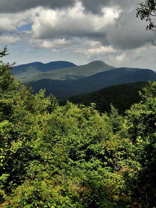
About 1/2 way up, I came upon the view point. It is a very nice overlook. You can see the Little Stoppel ridge line and the distant Winter Clove and North Mountain. Unfortunately, it was hazy. But, still a nice view. I then headed up to Stoppel Point. After I got the Plane Crash #1, there is a view point of the Blackheads. It was recently recut by the DEC. The views were nice. I then hiked the final steps to the Stoppel Point. Again the views were hazy.

I then headed back down. I stopped at the overlook again. Stopped for a bit to munch on, and then headed down. I stopped at the water source below Dutcher's Notch, but it was dry. Even after 5" of rain. A little ways further down I saw a bear in the woods. It ran off once it knew I was around.

For me it was a fast hike. I did it in 4-1/4 hours. About 8 miles. It would be better if done in 5.5 to 6 hours. This is a very nice hike on a clear day. Fairly easy hike. Here are some pictures:

Image


Image


Image


Image
Great view point between Dutcher's Notch and Stoppel Point

Image
View Point from Plane Crash #1 of the Blackhead Mountains

Image
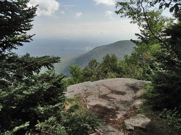
View from Stoppel Point

Image
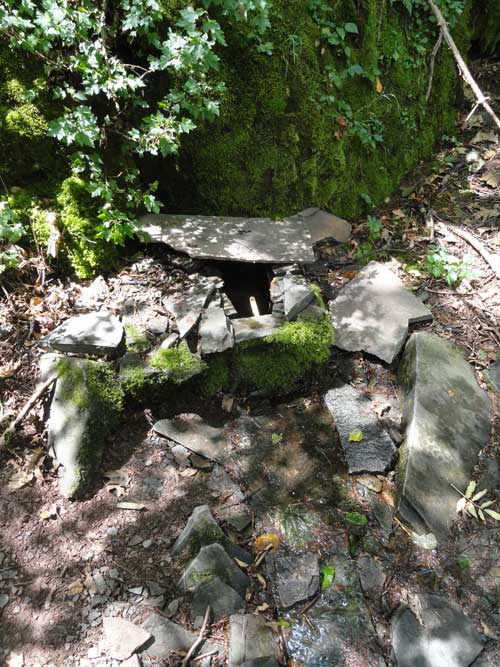
Dried up water source below Dutcher's Notch
SNEAKers
Posts: 158
Joined: Wed Aug 03, 2011 3:30 pm

Re: Stoppel Point from Stork Nest Road

Unread post by SNEAKers »

Looks like a great hike! I really love the hike up Dutcher's Notch and Stoppel Point is really great! I've done that hike a few times (3 times this past winter) and the water source is one of my favorites as well... Sad to hear its dried up (or was).
mtnclimber
Posts: 496
Joined: Sat Oct 10, 2009 10:46 pm

Re: Stoppel Point from Stork Nest Road

Unread post by mtnclimber »

If you like that hike, you should get Mike to show you the route to Little Stoppel. 5 beautiful waterfalls, great woods road hike thru conifer forest, and little stoppel is outstanding.
Post Reply