
During the last three days it has rained on-and-off. The trail was waterlogged, and the tree canopy kept the humidity high. While the sun really never came out, and the temperatures stayed around 70 degrees, it wasn't that pleasant to hike in. We weren't hot, but we sweated quite a bit.
When we arrived at Buttermilk Falls, the water was running pretty good, but not raging. Just perfect. We had to hike upstream about 100 feet to get across without difficulty. We then hiked down to the Falls. We decided to try and measure the first drop with a fiberglass tape. Didn't work out so well. It sucked down the tape over two falls. When it got to 165' I stopped and pulled the tape back up. Just before the top, it got caught. After about a 1/2 hours of working the tape, it finally came lose. Decided to stick with the GPS. During this unpleasant adventure, we discovered that there was another waterfall in the set of falls.
We then started to explore how to get down there easily. There is a ledge that runs from Wildcat Falls to Buttermilk Falls. There are only a couple places where you can get below the ledge. We explored this ledge for quite a ways. I finally found a good place about 2/3 of the way to Wildcat Falls. During that time we found a nice camping spot about 300' east of Buttermilk Falls and 200' off the trail.
When we got to Wildcat Falls, it was almost 1 PM. We stopped and had lunch on the top of the Falls. Took a few pictures. Once we were done, we then started to hike up the upper Wildcat Ravine. We discovered two new sets of waterfalls. The first one was 63' high and the second one was 37' high. We decided to not explore higher up the Ravine today.
We then headed back to the Buttermilk Ravine. We then hiked up the ravine to find a beautiful waterfalls that was 61' high. We then headed up the Ravine further. Lots of blowdown and bear activity. Didn't see any roaming around. About 2/3 of the way up the Buttermilk Ravine we decided to turn around. Time was running out. We believed that more waterfalls were up higher.
It was time to head back to the car. Here are a few pictures:
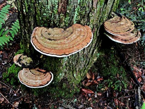
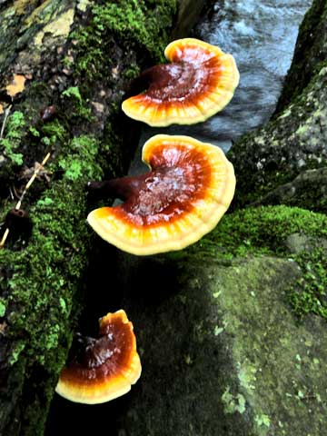
One of many fungus we found during the day
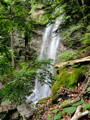
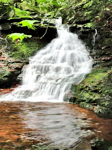
Buttermilk Falls
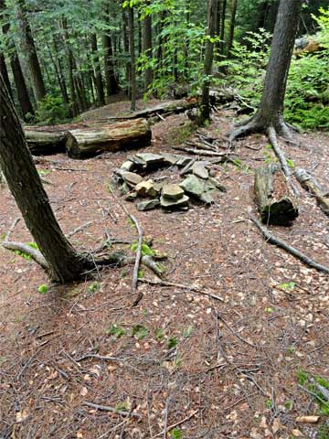
Campsite near Buttermilk Falls
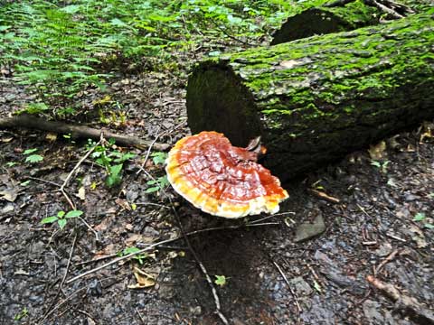
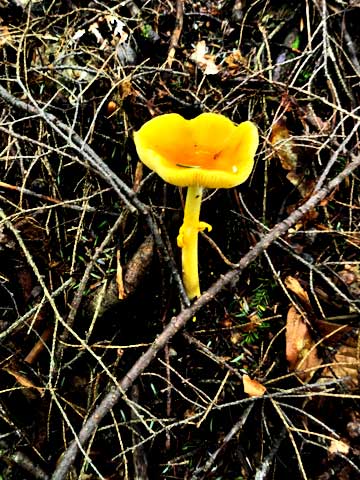
Fungus we found
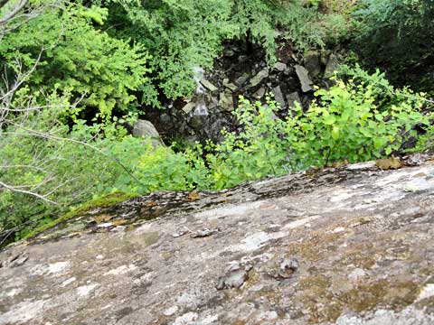
Looking vertically down Wildcat Falls - At least 100+' down
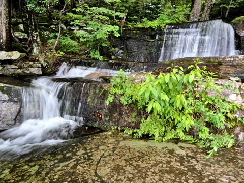
Small Waterfalls directly on the top of Wildcat Falls
Waterfalls #1 on the upper Wildcat Ravine - 63' high
Waterfalls #2 on the upper Wildcat Ravine - 37' high
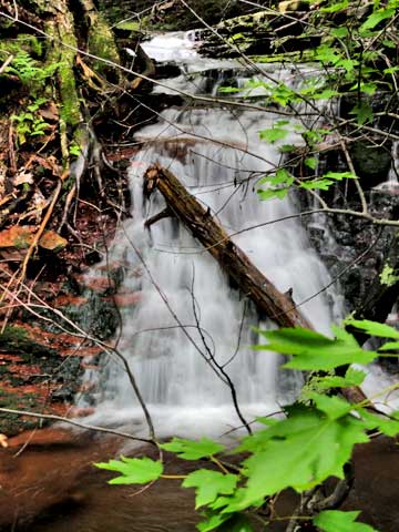
Waterfalls #2 on the upper Wildcat Ravine - 37' high
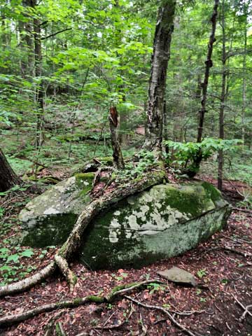
Tree growing on top of a rock
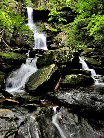
Waterfalls #1 on Upper Buttermilk Ravine - Twin Falls - 61' high
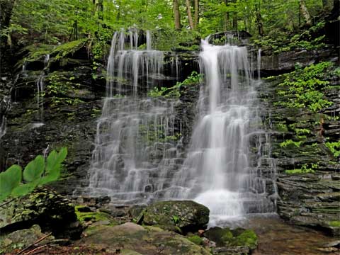
Waterfalls #1 on Upper Buttermilk Ravine - Twin Falls - 61' high
More Fungus
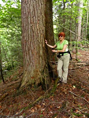
One of many large conifer trees in the ravine
Fungus
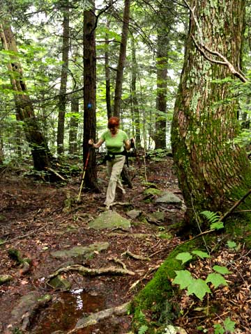
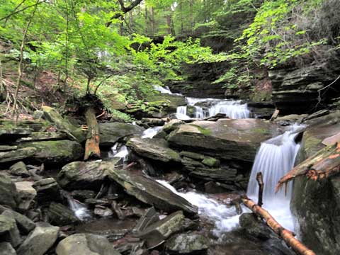
Ledge Trail