Part way across the lake, we noticed another set of snowshoe prints leading in the same direction. Lucky for us, someone just ahead of us broke out most of the trail. Lucky us.
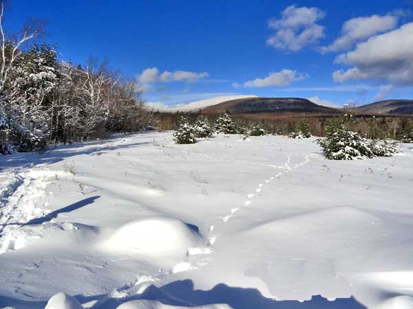
I am not surprised too often. But, todays hike was spectacular. There was still ice stuck to the trees. The glitter of the ice off the trees in the sun was magical. Here are some of the pictures:
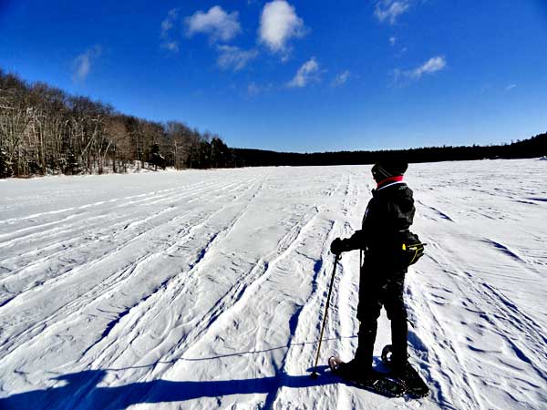
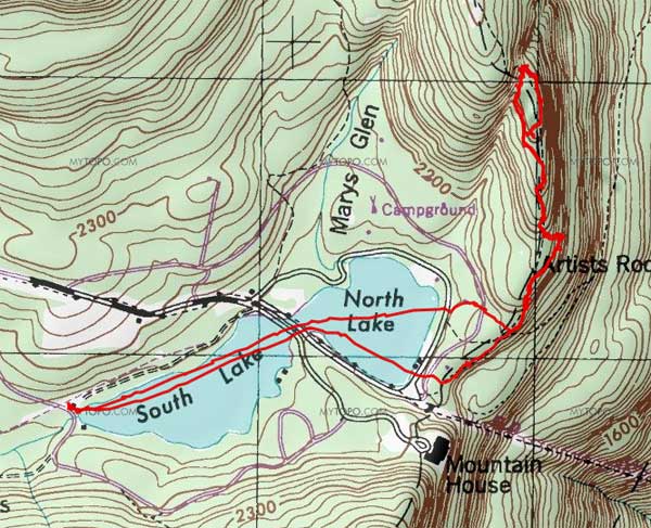
Us crossing South Lake and heading towards the channel to North Lake
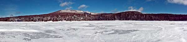
Panoramic of North Mountain and Lookout #1 (North Point) and Lookout #2
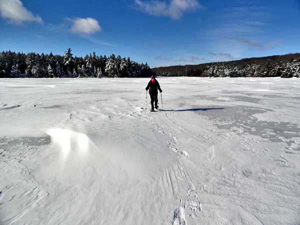
Alexis just about done crossing North Lake
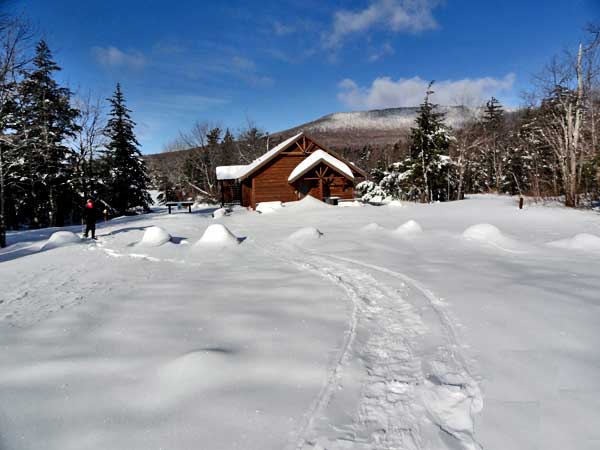
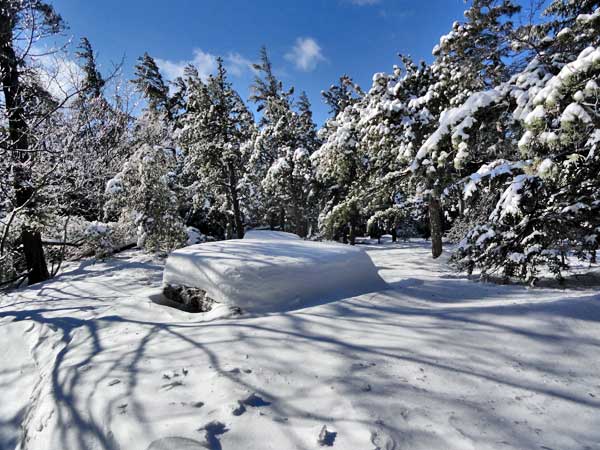
One of the DEC buildings between North Lake and the Escarpment Trail
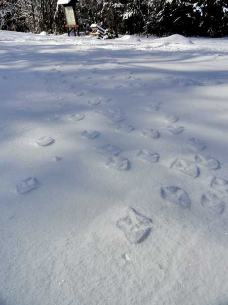
Turkey tracks embossed on the snow
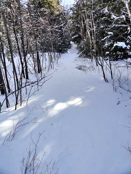
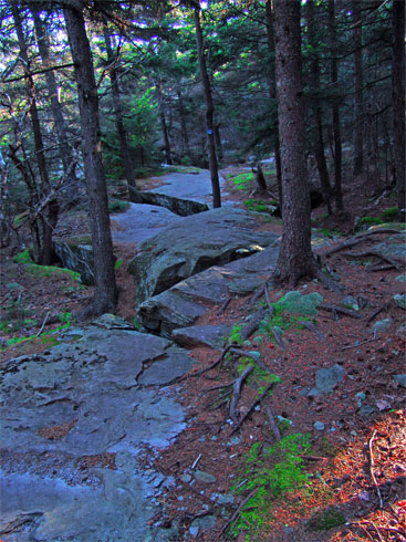
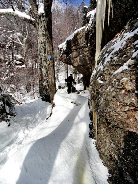
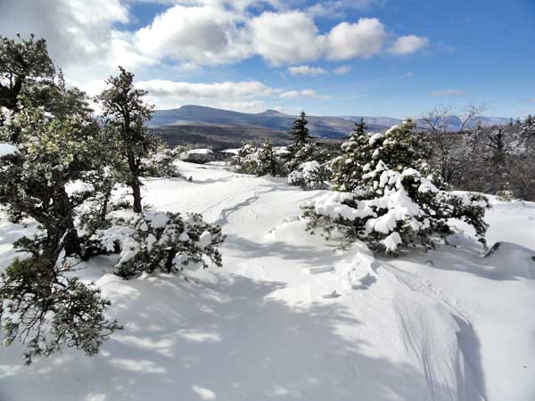
The shortcut trail to the Escarpment Trail
Beginning of the Escarpment Trail just north of the old Cog Railroad
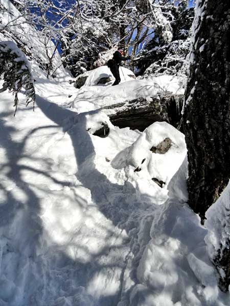
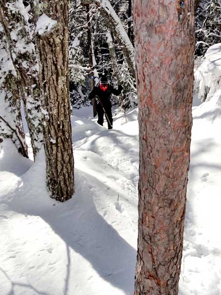
Alexis just about done negotiating the only steep section of the trial to Bear's Den
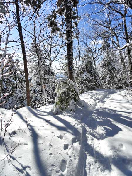
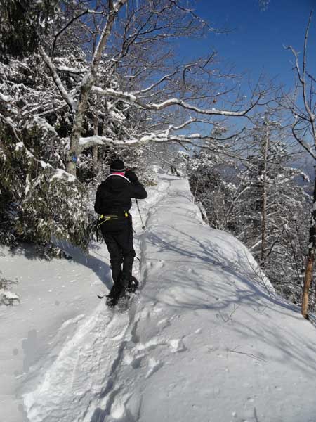
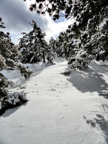
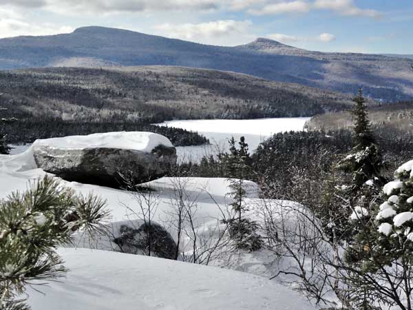
Further up the Escarpment Trail
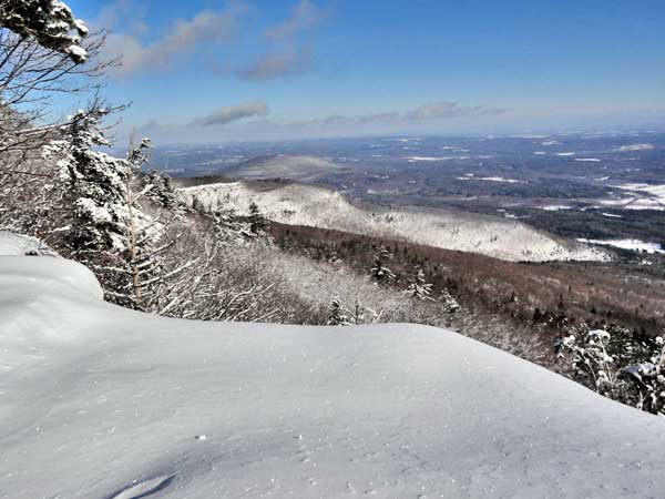
The Escarpment Trail

The Escarpment Trail
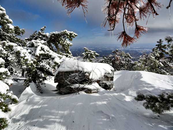
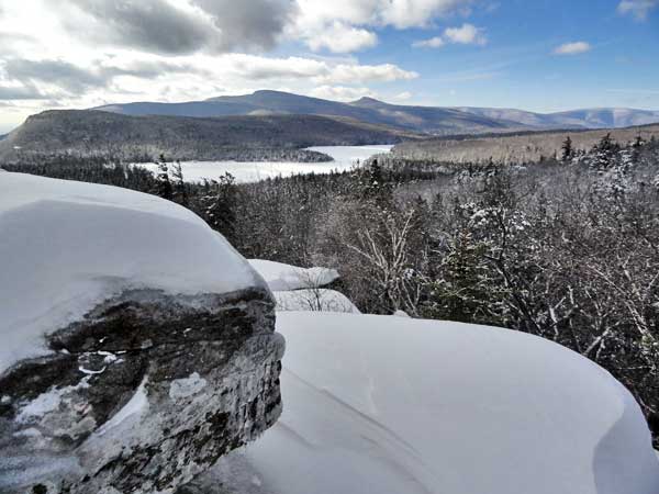
Alexis crossing Prospect Ledge
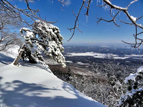
View of the Hudson Valley from Prospect Ledge
View from Sunrise Rock (DEC has improperly marked as Artist Rock) - View of the Ridge line above Rip Van Winkle House
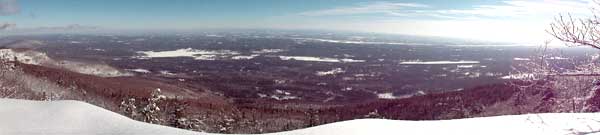
Not so great panoramic of the Hudson Valley from Sunrise Rock
Alexis coming up the trail just past Prospect Ledge
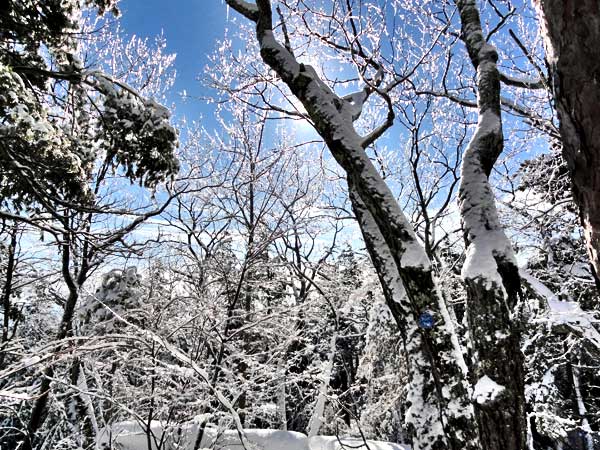
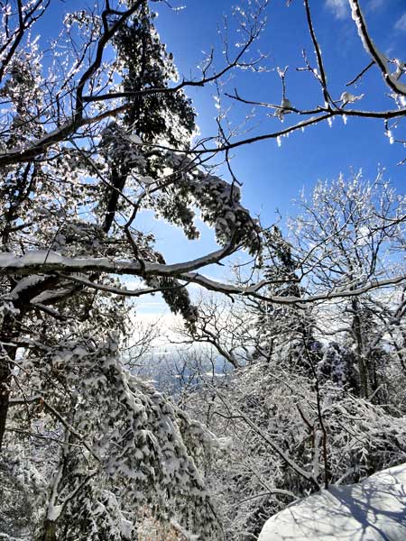
Another great view of the Tree Rime on the Escarpment Trail
Alexis walking under Bear's Den
The trail from the Escarpment Trail to Bear's Den
The trail from the Escarpment Trail to Bear's Den - Overlooking the Hudson Valley
Entering Bear's Den - Overlooking the Mountaintop - As we reached Bear's Den the sun went in
Bear's Den
Bear's Den

Bear's Den
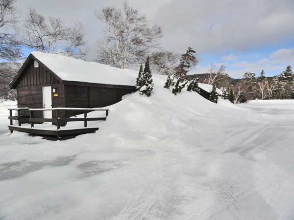
Returning back to North Lake - Snow drifts overwhelming the building
Colgate Lake Region - Looking at the Blackhead Mtn Range
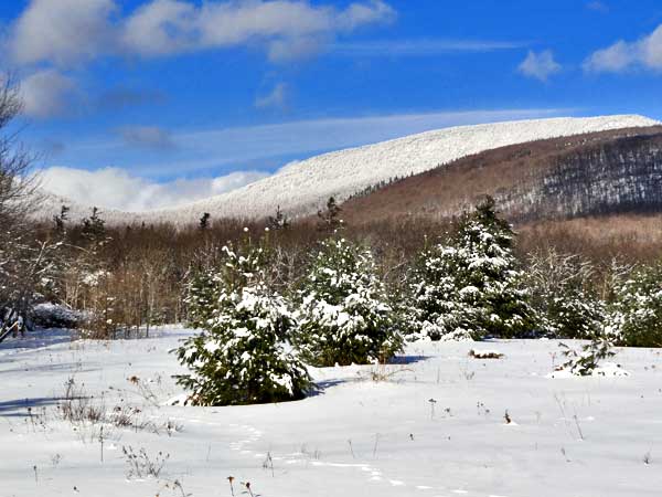
Colgate Lake Region - Looking at the Blackhead Mtn Range