Here is what I knew before the hike:
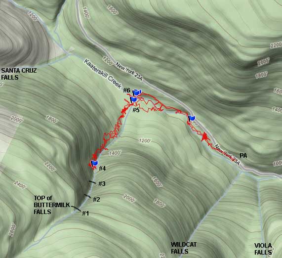
1. The junction of Kaaterskill Creek and Buttermilk Creek is at N42 10.927 W74 04.031, and at an elevation of 936'
2. The top of Buttermilk Falls is at: N42 10.516 W74 04.299, and at an elevation of 2186'
3. Total of 1,250' in elevation.
4. The walls around the two upper falls are 45-70 degrees, and considered a very dangerous place to hike.
5. The two upper falls at the top are reported to be over 100'.
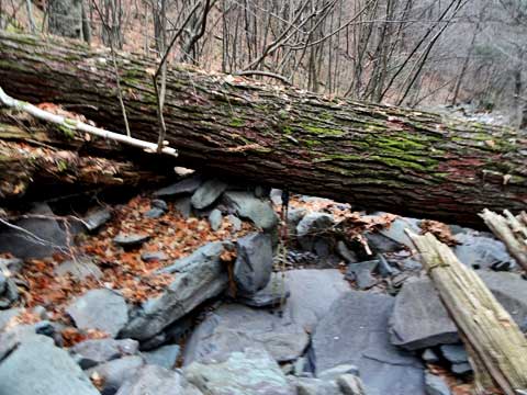
Parked down near Fawn's Leap. Walked up to the old Tannery. I then had to backtrack quite a ways to be able to cross Kaaterskill Creek. Please Note: This hike can ONLY be done during low water. It should be done with another experienced person. I then started my hike up the Buttermilk Falls Ravine. Here are some pictures:
This is Waterfall #6 (last one at the junction of the creeks - 45' +-2'). We hiked up the LEFT side of the Waterfalls. At the top of the falls there is an old logging road that runs from Wildcat-to-Buttermilk-to-Santa Cruz Falls. I didn't have time to explore the old logging road completely.
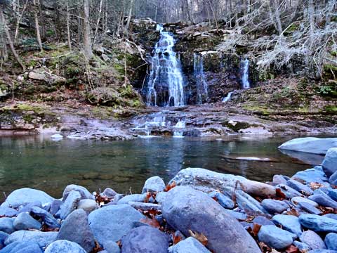
Here is a vertical view of the the falls. On the right side of the creek is an old trail that was probably used back in the 1800's. Please note: This trail is pretty rough. :
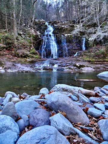
As soon as I got on top, I cross the creek. Above Falls #6, are two small cascades. Here is a picture of one of them.
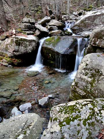
Then comes Waterfalls #5. It is a small 3-step waterfall. The next four pictures are the same waterfalls.
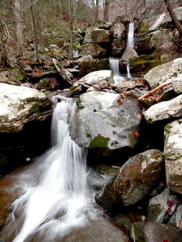
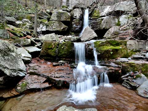
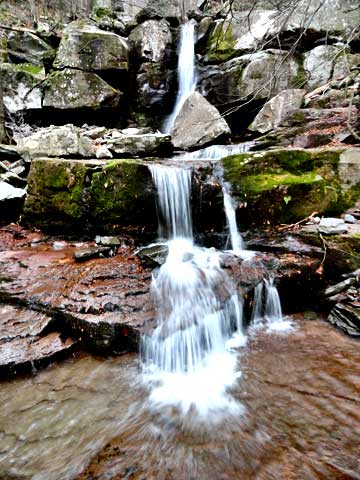
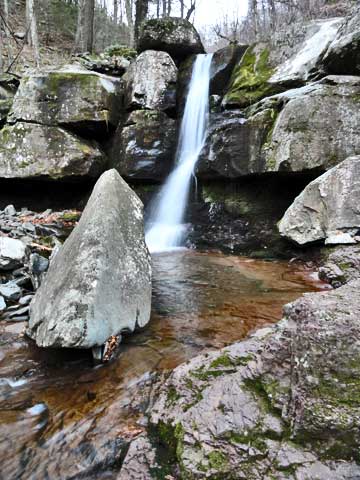
From here, you can follow the trail on the right side of the creek. At times, it climbs up the wall quite a ways. Slipping here can result in injury or death. The creek is filled with boulders and difficult to walk up. There is a trail on the left side of the stream, but it didn't seem to be better. About 1/2 way up, the banks get tough. This is waterfall #4. There are two small cascades just after this waterfall. Getting above these two waterfalls is tough. It is located at 1,598'. At this point you will start to see old growth hemlock trees. some 3-4' in diameter. The canyon walls start to get very steep. It is difficult and dangerous to get above this waterfalls. Best to be done with a partner and ropes. From this point to the top of Buttermilk Falls is 588'
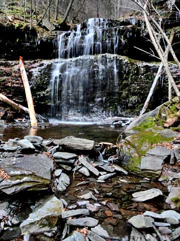
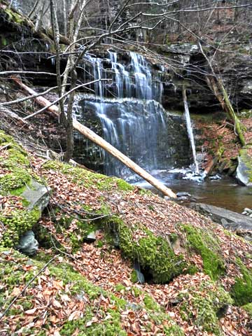
This is a view above waterfall #4. Just above the log is Waterfall #3, and the waterfall above this one is the second large waterfall #2. From our calculations, they MAY be around 200' high. From where I took this photograph, it is another 588' to the top of Buttermilk Falls. Not as high as the Five Cascades/Haines Falls, but close.
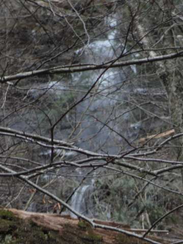
At a later date, we will return to this ravine. But, hiking above this point solo was not a wise decision. Additionally, around 1500' the wet rocks had turned to ice. I believe that we can probably get to the basin of Waterfall #2 without ropes.
Here is a GPS map of the hike: