I got a late start, and got started around 10:30 am at the end of Stork Nest Road. I hiked up to where State land starts. About 3/4 mile from the packing area. From here I hiked down the ravine to Countryman Kill Creek. When I arrived at the Countryman Kill creek, I discovered that the walls of the ravine were steep and high. I found an easy place to get down into the creek. I then crossed the creek to the other side. I stayed on the southeast side of the creek the entire day.
When I crossed the Countryman Kill Creek, I discovered a nice logging trail that ran parallel to the creek almost all the way up the ravine. It was in conifer forest most of the way. The conifer forest were great. I really enjoyed the conifer forest walk. The trail was not destroyed by all the logging. The trails were in remarkably good shape. Unfortunately, the creek didn't produce any waterfalls. Mainly because the rocks were round and there were not any ledges. So...no waterfalls. I hiked all the way up the Countryman Kill Creek. When I got closer to the Eastern Escarpment the inclined increased from a docile easy hike to a steep incline that was difficult. I then hiked up to the ridge line that runs up to Stoppel Point.
When I arrived at the top of the ridge line I checked the map. Stoppel Point was about another 400 feet. I decided I didn't want to hike up to Stoppel Point. I had other objectives for the day. Furthermore, I was just at Stoppel Point the previous week. So close, but so far away. The trail up to Stoppel Point also looked steep.
I then headed down the Winter Clove Trail. It was marked with blue markers. I almost immediately entered into a gorgeous conifer forest. It had large Hemlock trees with a nice clear forest floor. After looking at my map, I thought that there would be two good view point. I would later discover that there were two view points. The conifer forest was intoxicating in beauty.
Part way down I left the trail to get a view over the Winter Clove. It was beautiful! I stopped and took some pictures and left. I then hiked down further. Unfortunately, I was distracted by the beauty of the forest that I walked off the trail into some thick Mountain Laurel. Yuck! But, I was able to find my way back to the trail. Over time I left the beautiful conifer forest and entered into a nice deciduous forest. I continued to the follow the Winter Clove Trail. Around 2 pm I stopped to drink some water and eat a little. I then hiked down further. The trail below the conifer forest stuck to the southeast side of the ridge. Sometimes dropping off the ridge some. But, it also helped avoid the dreaded Mountain Laurel.
After a while I found Lookout #2 of Winter Clove. It had an even better view over the Winter Clove. I stopped and took a picture. I then headed further down the trail. After a while the trail turned east instead of north, so I had to leave the trail. Otherwise I would end up at the Winter Clove Resort. I then bushwhacked around the north side of the ridge. There was a loosely defined herd path down the ridge. I then entered into a conifer forest.
When I got to the Countryman Kill Creek I headed down the creek to the lower section. I immediately found the old road I had followed up the creek. It was nicely maintained. It wasn't long before I found my first waterfalls. It was beautiful! Gorgeous forest along withe beautiful waterfalls. This region might be one of the most beautiful regions of the Catskills. A hidden secret. Before I was done, I had found 5 new waterfalls. All of them were beautiful. There was a wide road with an idyllic stone walls that went down the ridge of the waterfalls. It was picture perfect. Some of the waterfalls were very easy to get to. Others were very difficult. You can see all of them from the road above the ridge.
By the time I got done photographing the 5th waterfall it was around 4:30 pm, and it was getting quite dark. I then had to hurry back up the trail to get across the creek on State land before I couldn't see. It was a rush. I got back to my car just after 5 pm. It was a spectacular day of hike with many new discoveries that I will cherish for quite some time.
Here are some pictures:
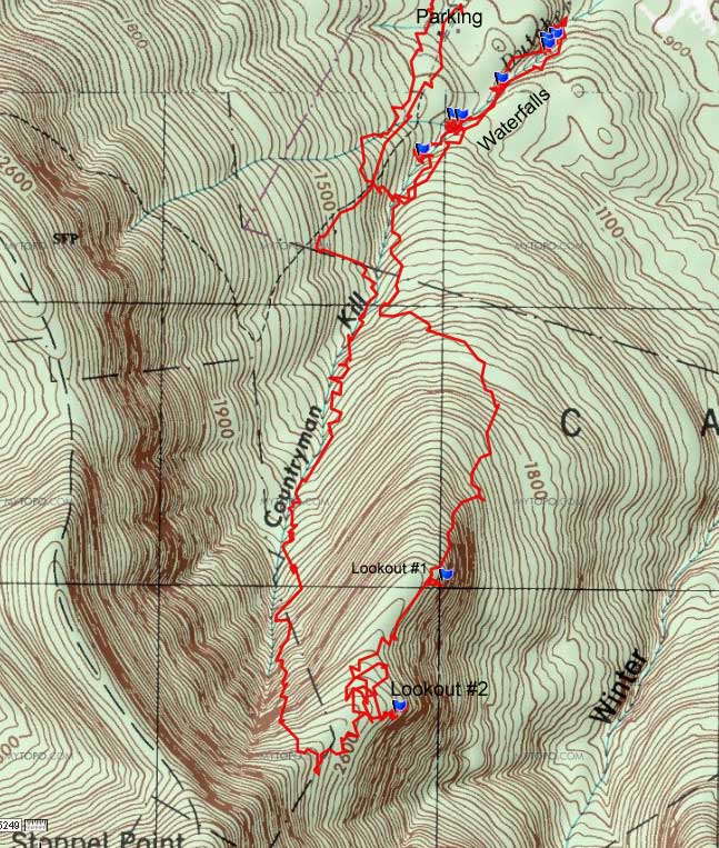
Map of the hike
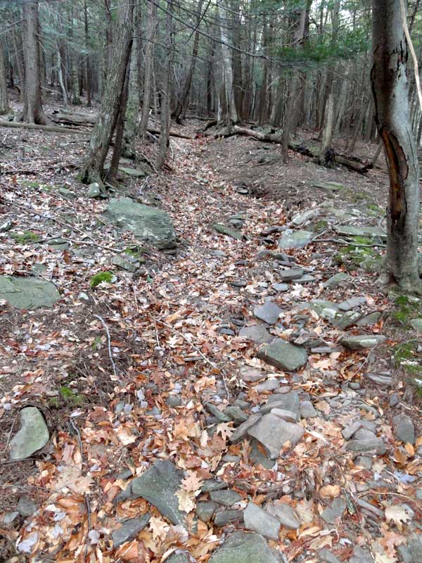
Beginning of the conifer trail on the lower section of the Countryman Kill Creek
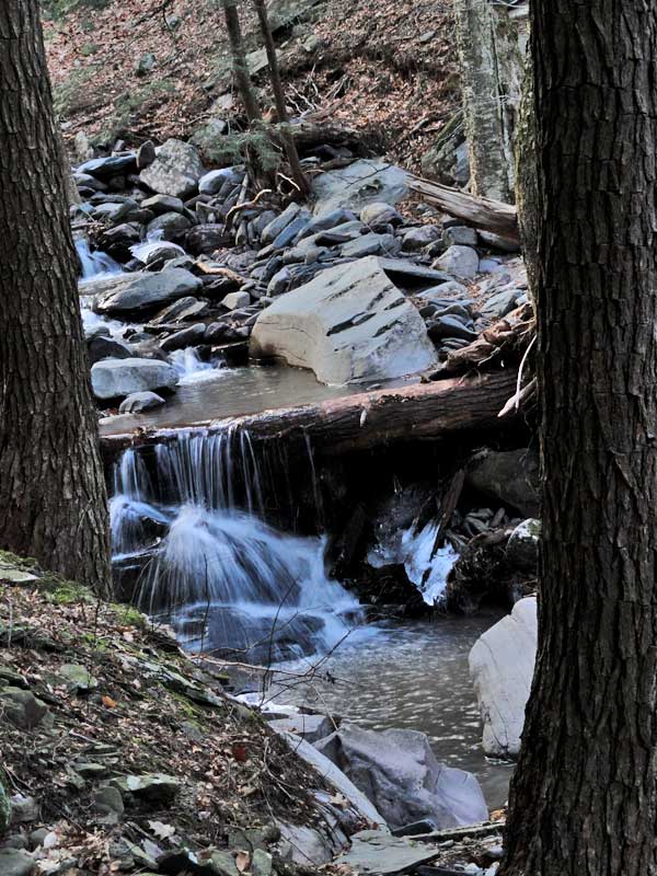
The closest thing to a waterfall on the upper section - A temporary rock waterfall
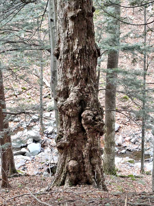
A knotty tree along the way
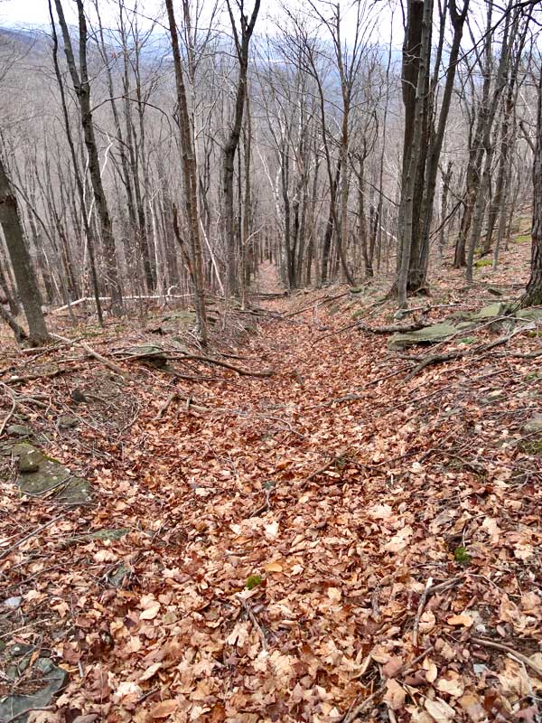
The trail after the conifer forest
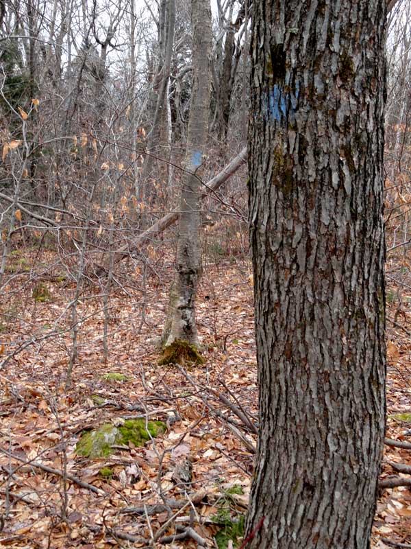
The Winter Clove Trail below Stoppel Point
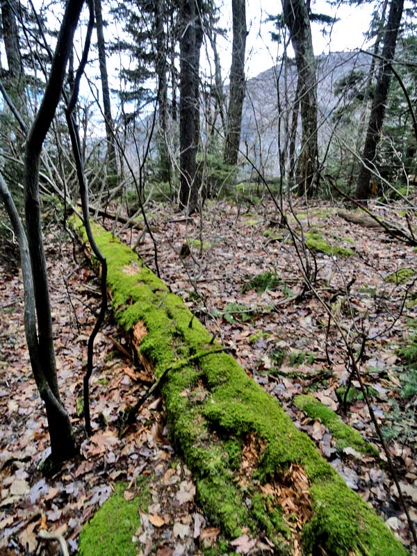
Another beautiful view along the way
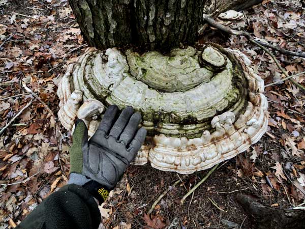
Probably the largest Bracket Fungus I have ever seen
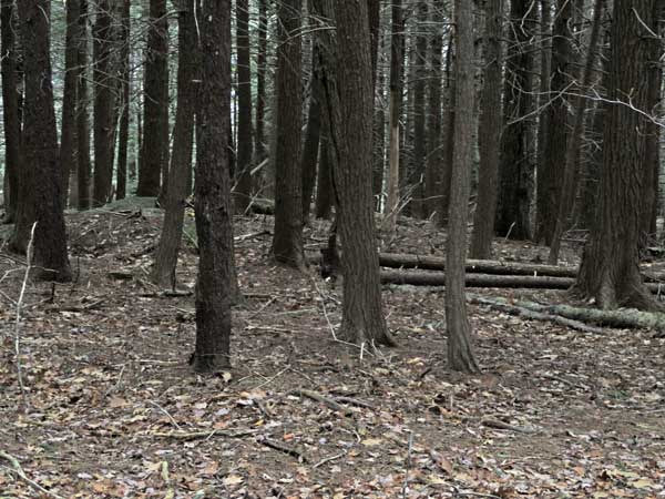
The conifer forest high up near Stoppel Point - Mainly Hemlock and Balsam Fir on the edges
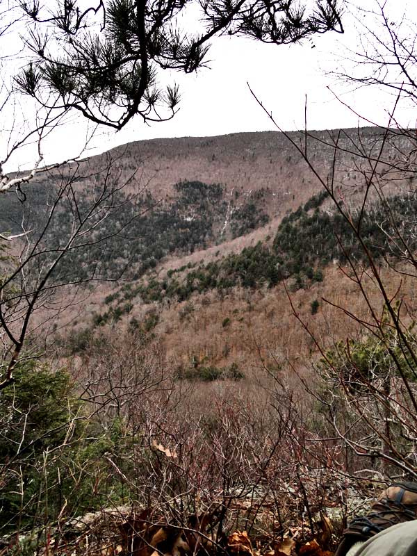
View over the Winter Clove from Lookout #2
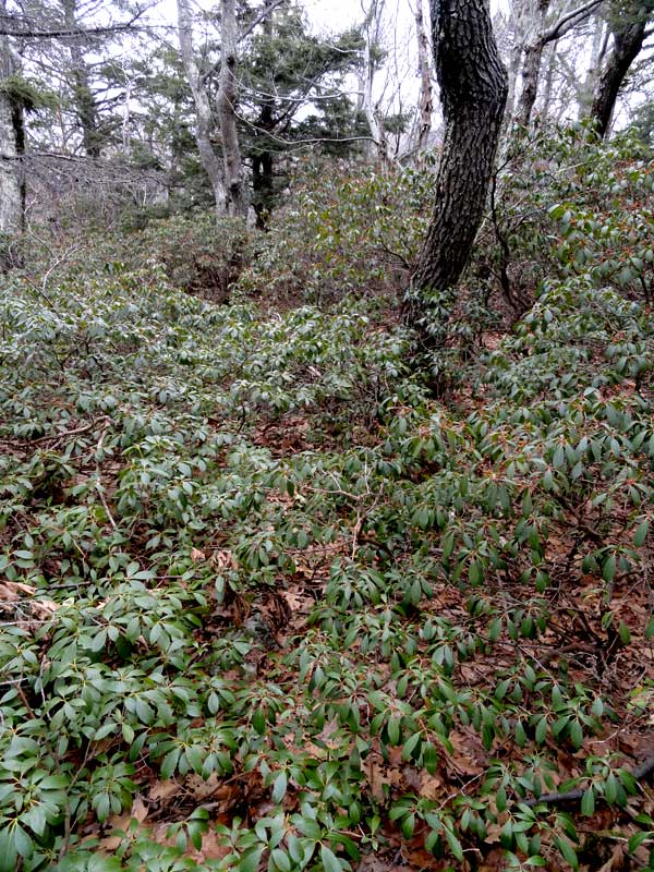
View of the Mountain Laurel when I fell off the trail
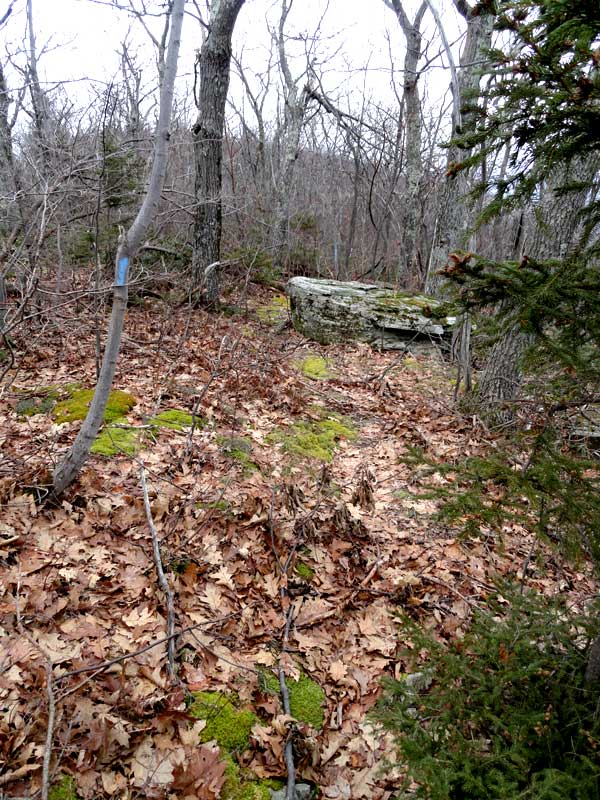
The Winter Clove Trail down lower
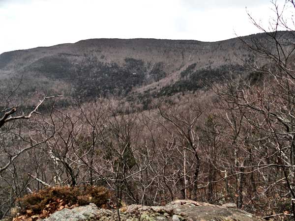
View of Winter Clove from Lookout #1
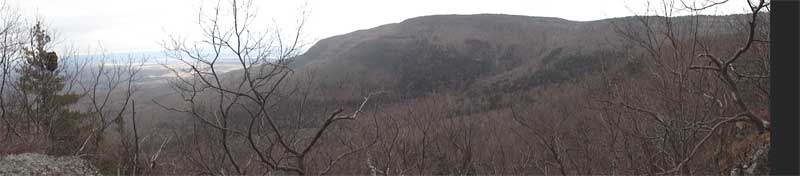
Panoramic view of the Winter Clove from Lookout #1
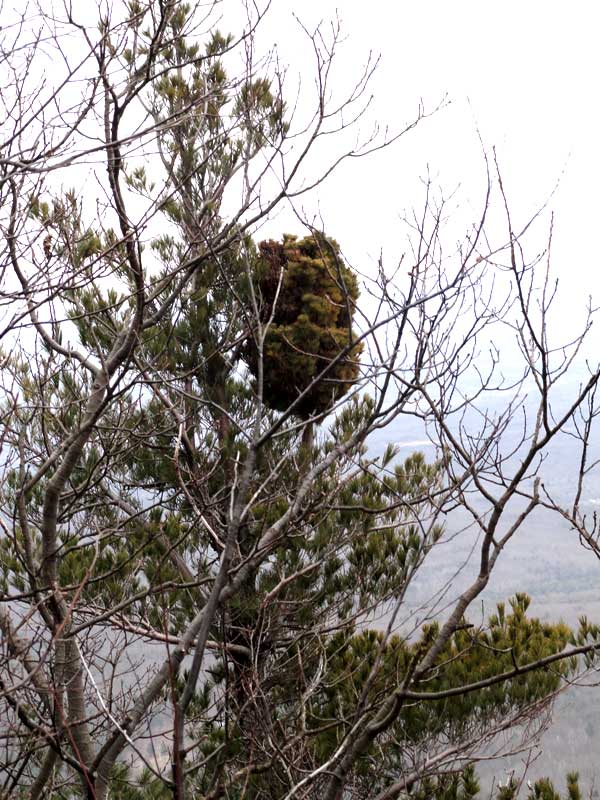
Odd growth on this tree
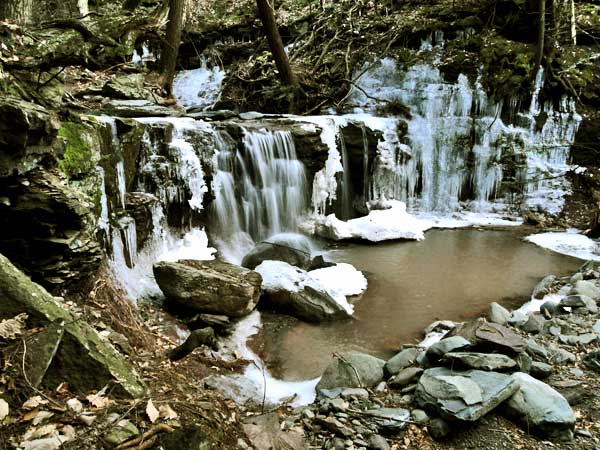
Waterfall #1 on the Countryman Kill Creek
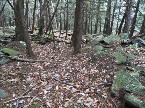
Trail along the creek
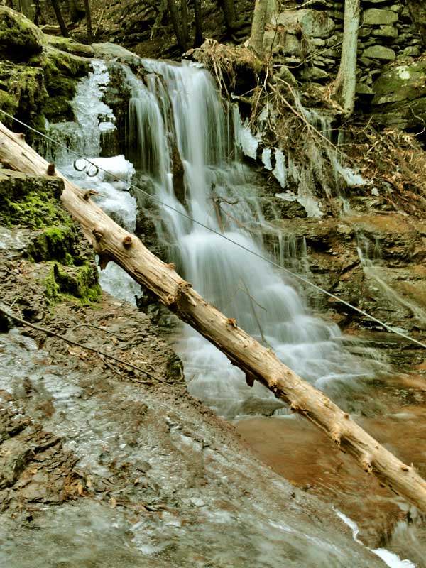
Waterfall #2 on the Countryman Kill Creek
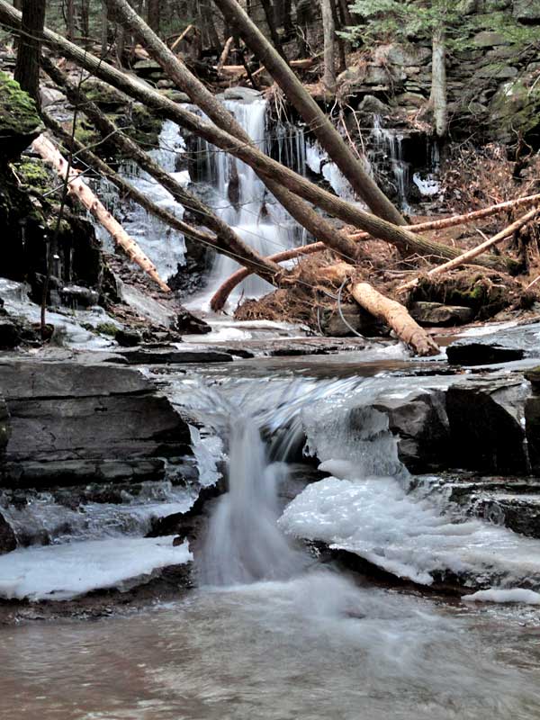
Waterfall #2 on the Countryman Kill Creek
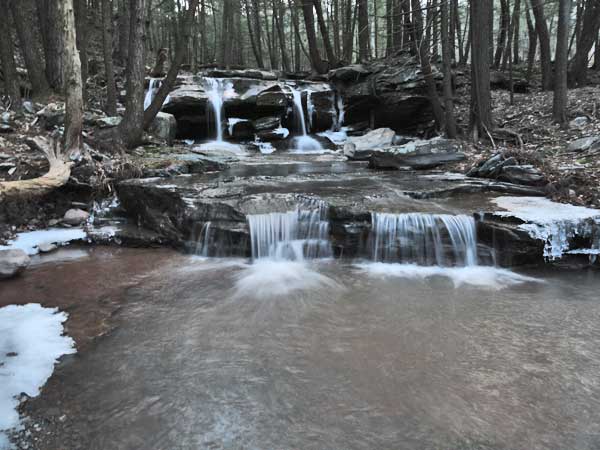
Waterfall #3 on the Countryman Kill Creek
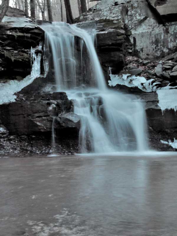
Waterfall #4 on the Countryman Kill Creek
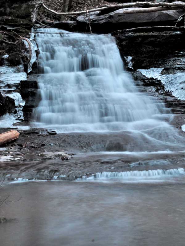
Waterfall #5 on the Countryman Kill Creek