Rich was suppose to join me on this hike. But, at last minute, he had to cancel. So, it was just me today. I arrived at the Devil's Kitchen around 9:30 am. I quickly put on my mountaineering boots. I then discovered that I forgot my map. Only have 7 maps, and had none with me. But, I had done enough research to know where I wanted to go. Or, so I thought.
I then headed up the road. When I hit state land, I cut up towards Hell's Hole Creek. I then took the old road out towards Lucas Kill Falls. I arrived at the Falls in about 1 hours with 1.8 miles. Took some pictures of the Falls. I then headed up the edge of the eastern escarpment. I had planned on climbing from 2200' to 2600' and then follow a flat sloping ledge deep inside the Kaaterskill Amphitheater. But, as I climbed I noticed that the animals headed down some difficult and steep bands of ledges. They looked dangerous. So, I marched on. I didn't get up to the 2600' level. It didn't look like a good option, so I looked for a good place to descend. When I found what looked like a good spot, I started to descend. After I had committed to the descent, I found that I had to descend 300 vertical feet down some very steep terrain. No large ledges to speak of. But, the incline was 45-60 degrees for the first 200' and 30-45 degrees on the last 100'. It had mossy rocks and loose rocks. The descent was scary! It looked like North Dome Mountain on steroids. When I finally got down, I hit an old logging road. I followed it towards my destination. Very easy going on the logging road. When I got creeks, I found an illegal tree stand. I then headed down further into the Amphitheater looking for waterfalls. When I got to my destination, I found steep terrain and lots of streams. In spite of the steep terrain, there were no large waterfalls. Very unhappy to not find any.
So, I headed back up the road. I then headed horizontal along the logging road. I decided to skip going back up the steep incline I came down. Not sure I could get back up. Had to slide down certain areas. Too mossy...too steep...too slick to ascend. Instead I headed further south. I then started to ascend up through the ledge rock bands. Reminded me a lot of North Dome. I slowly worked my way up the bands of ledges. Some of the ascents of the ledges were challenging, but doable.
When I got to the top, I just reversed my tracks, and headed back to the car. Ran into a group of young hikers coming back from Huckleberry Point. They were happy and enjoyed the views. I think they had a better time then I did. I took the shortcut down Hell's Hole Creek. Beat the kids back to the car.
Here are some pictures of the hike:
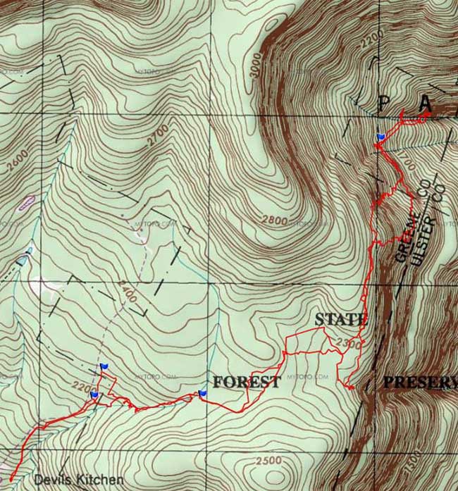
Map of the hike
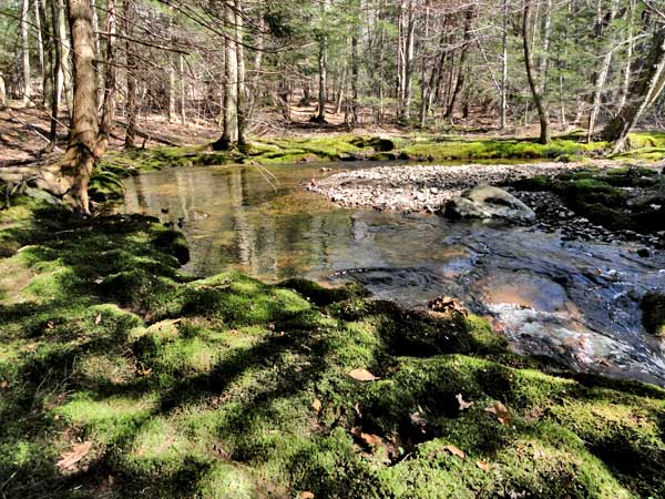
Horseshoe turn on Hell's Hole Creek - beautiful moss lines the creek bed
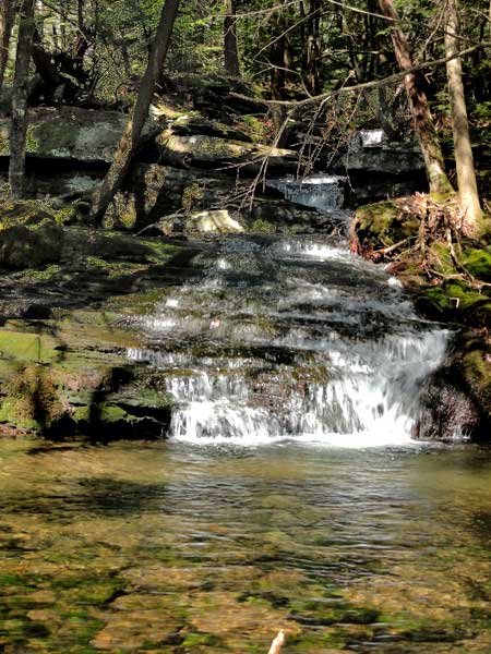
Lucas Kill Falls #1 - 18 feet high
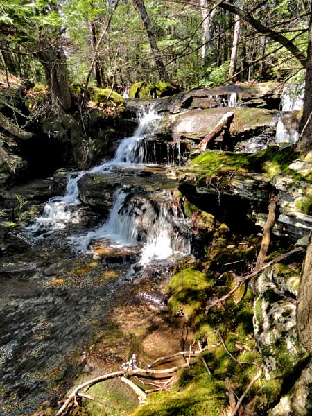
Lucas Kill Falls #2 - 13 feet high
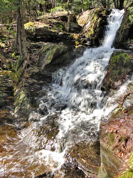
Lucas Kill Falls #3 - 20 feet high
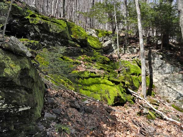
Some mossy rocks on my steep descent down in the Kaaterskill Amphitheater - Fall here and you will die.
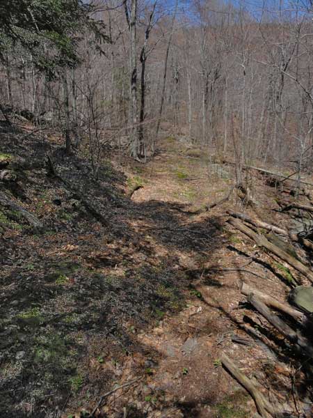
Horizontal Logging Road
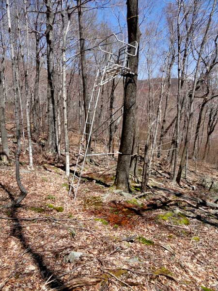
Illegal Tree Stand around 1,944' on NYS land
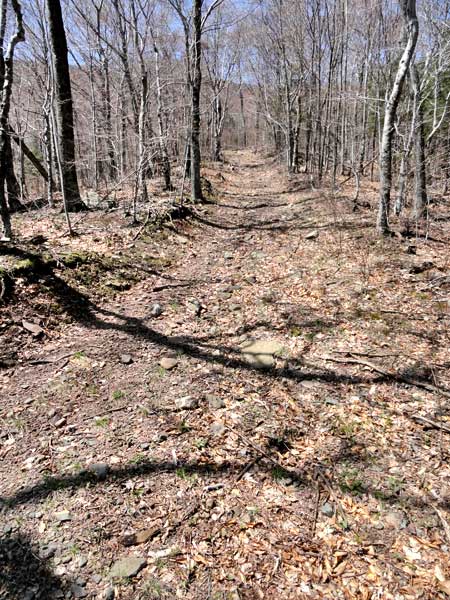
Vertical Logging Road that descends further down the Kaaterskill Amphitheater
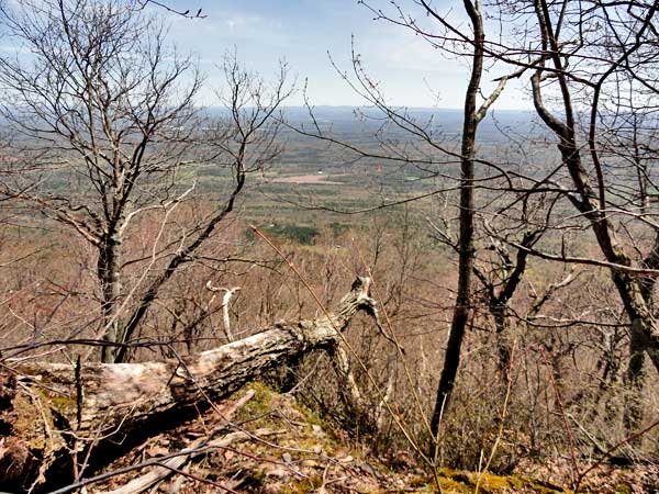
Views from one of the steep ledges on the trip back
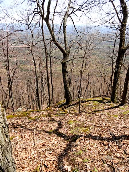
Views from one of the steep ledges on the trip back
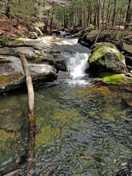
One of the many small water falls along Hell's Hole Creek on NYS land