The first hike I parked at the Prediger Road PA and hiked the loop in a clockwise direction (Jimmy Dolan Notch last)
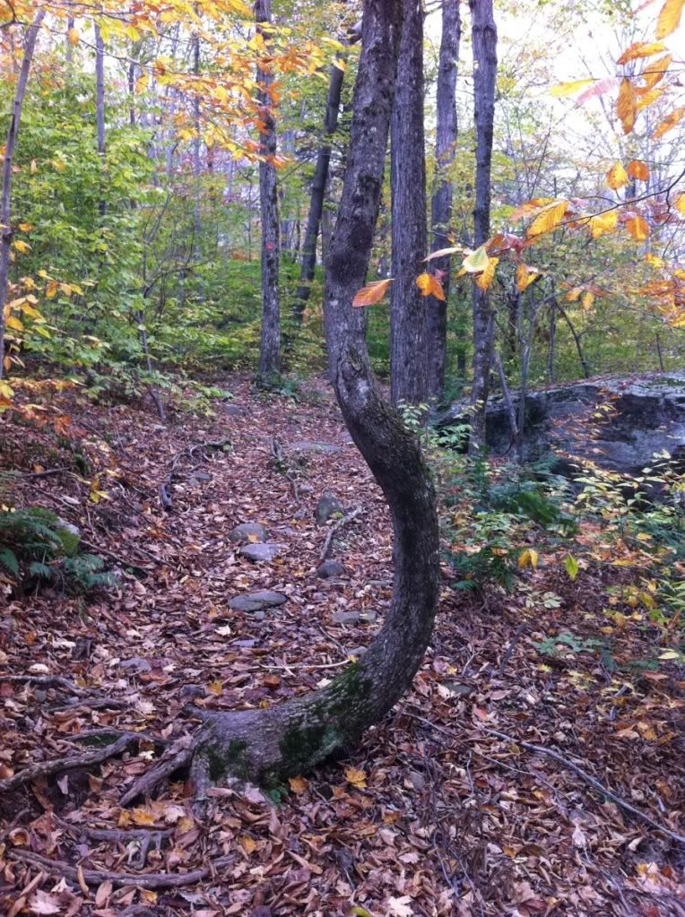
A great tree that had a curve to it. I recently saw a picture of a forest in Poland where a high number of trees were bent similar to this, just more extreme. Worth a quick read to anyone who's interested.
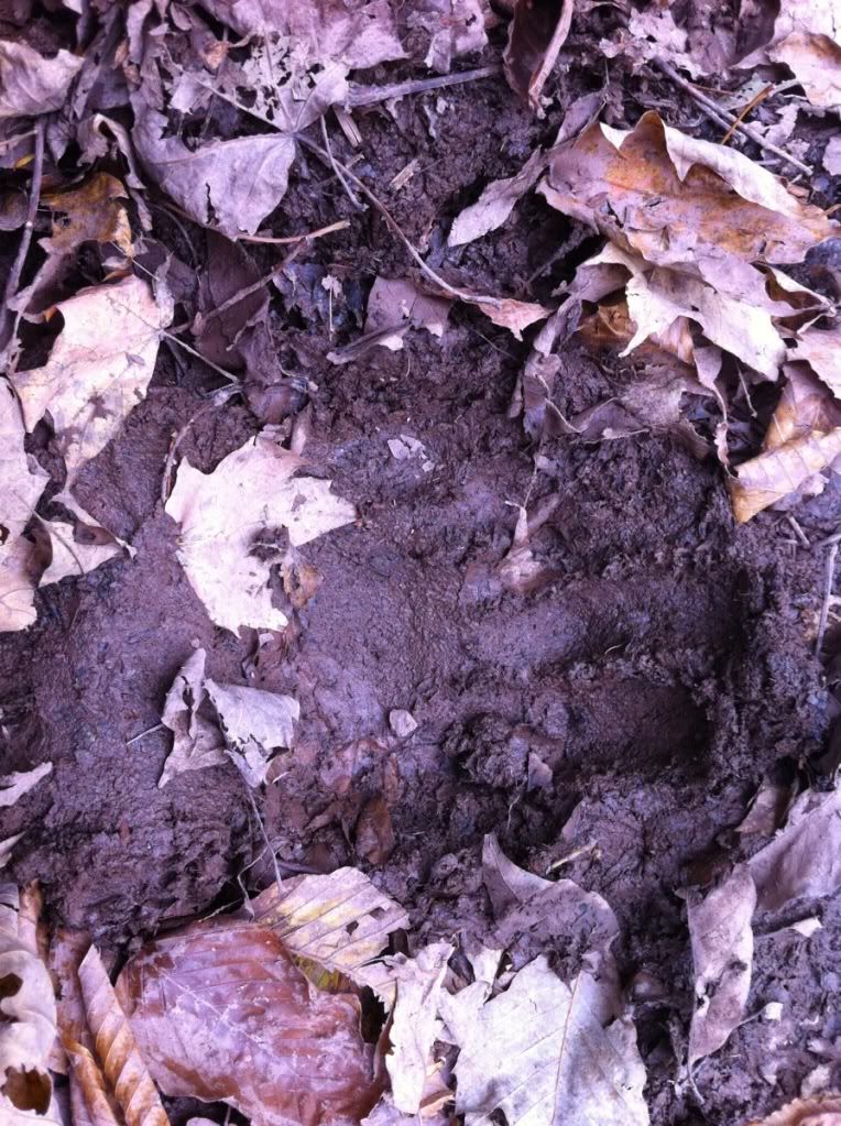
There were many prints in the mud, this was one of many. It looks bigger than it really is.
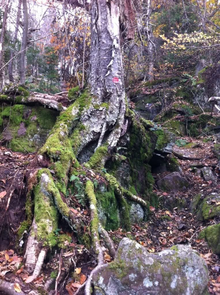
I really enjoy seeing how "adaptive" trees are to obstacles... This is just one of many examples, with the roots being almost 7 feet from the base of the tree to the ground.
On the way up I decided to get a better view by getting in a tree again. This time, however, the tree had fallen across the trail.
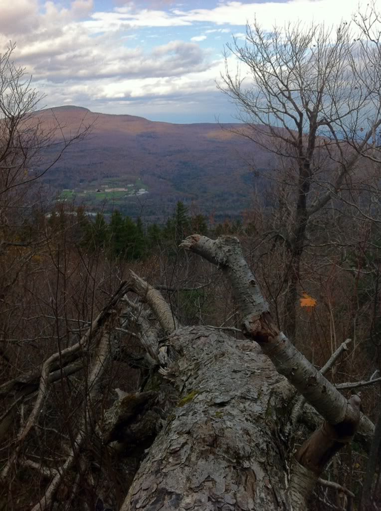
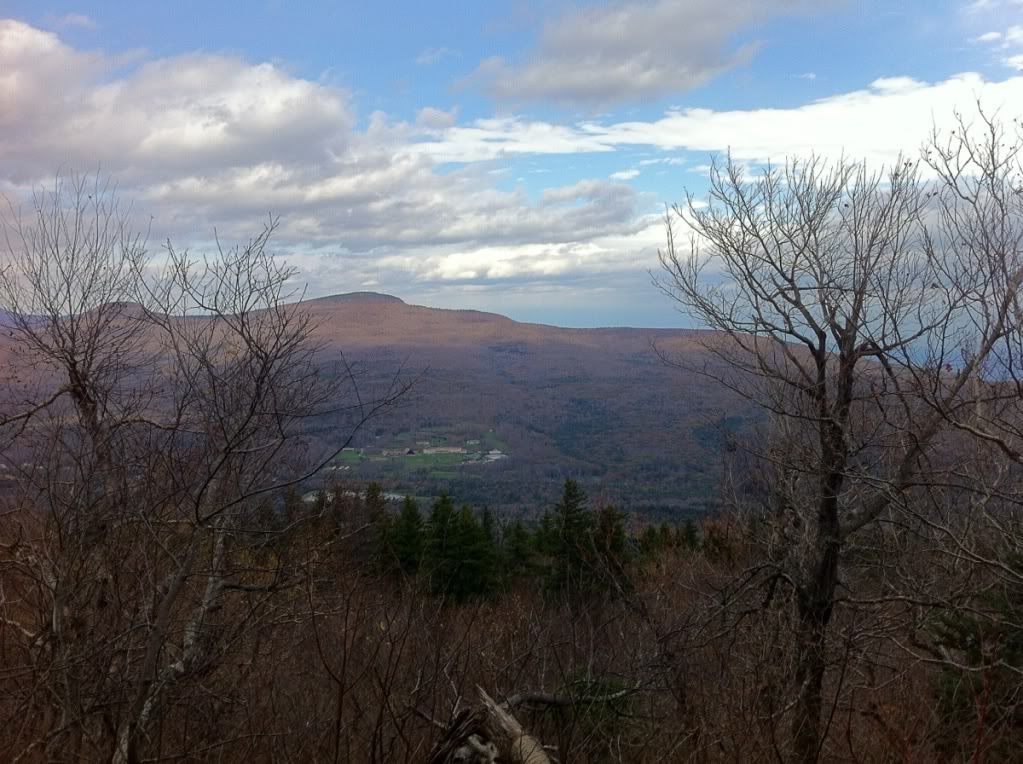
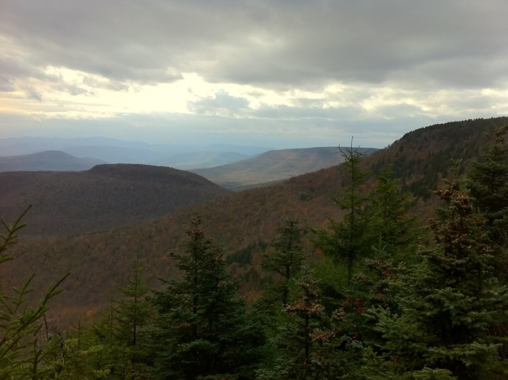
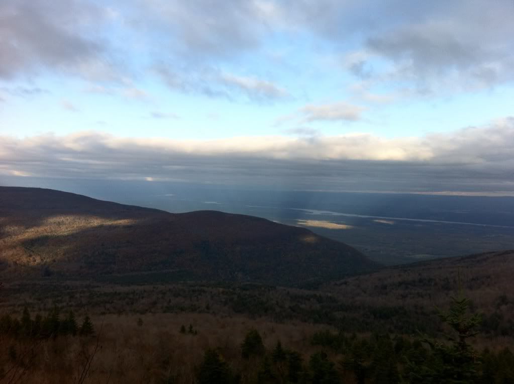
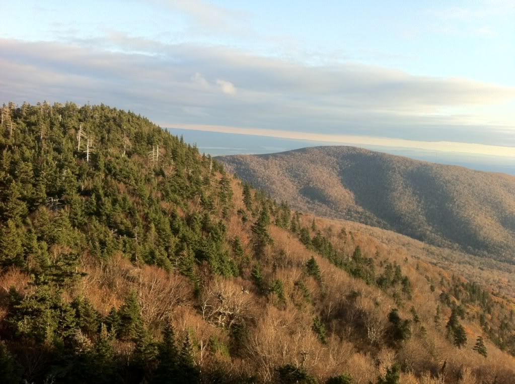
This was the view from one of the view points before the summit.
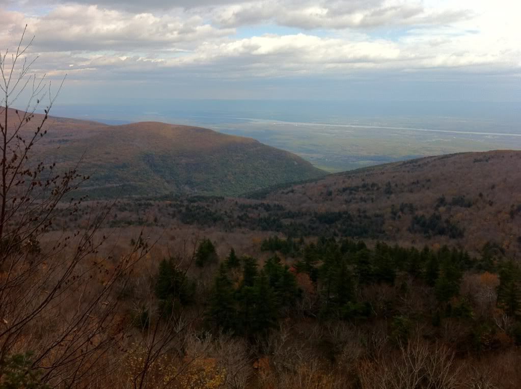
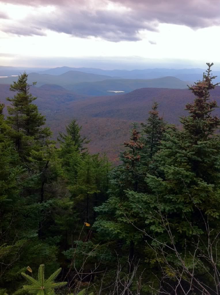
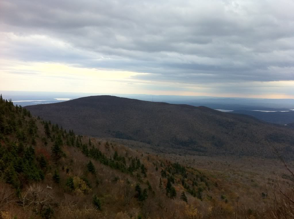
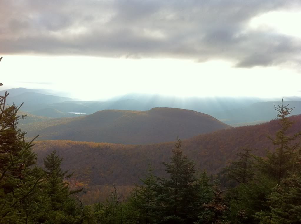
More fantastic views:
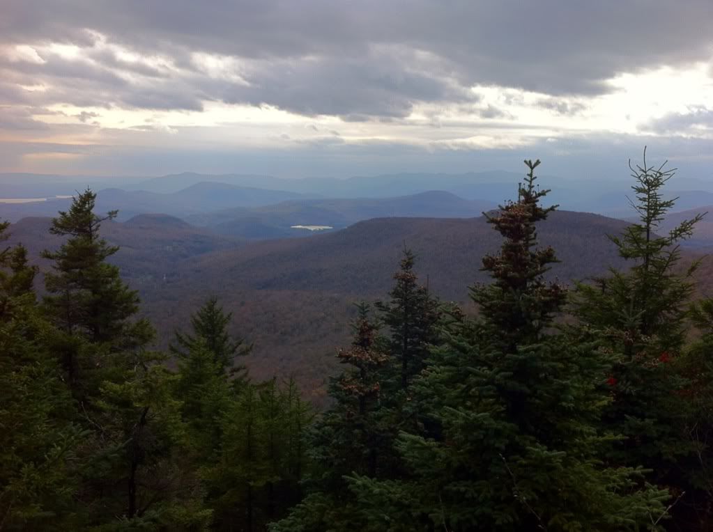
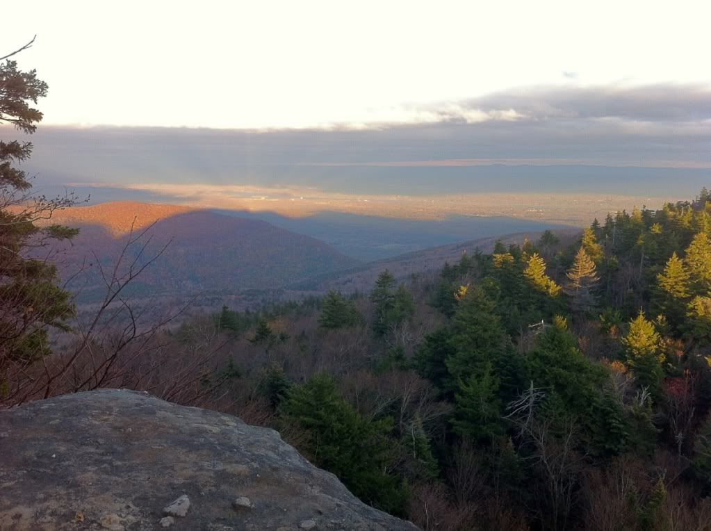
I then climbed the very steep cliff where you hold onto roots. Was not nearly as bad as I thought it would be. But if you were to fall here, you'd be in some serious trouble. The effort was well worth it, though. The view from Sherman's Outlook is absolutely breathtaking.
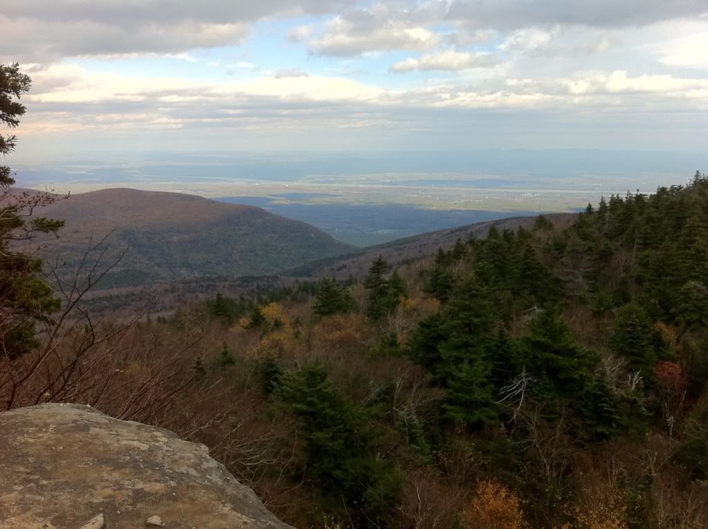
A view of Overlook Mountain. Note the Communications and Fire Towers.
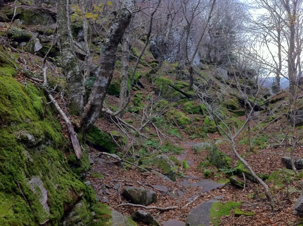
This was at the trail junction with Jimmy Dolan's Notch.
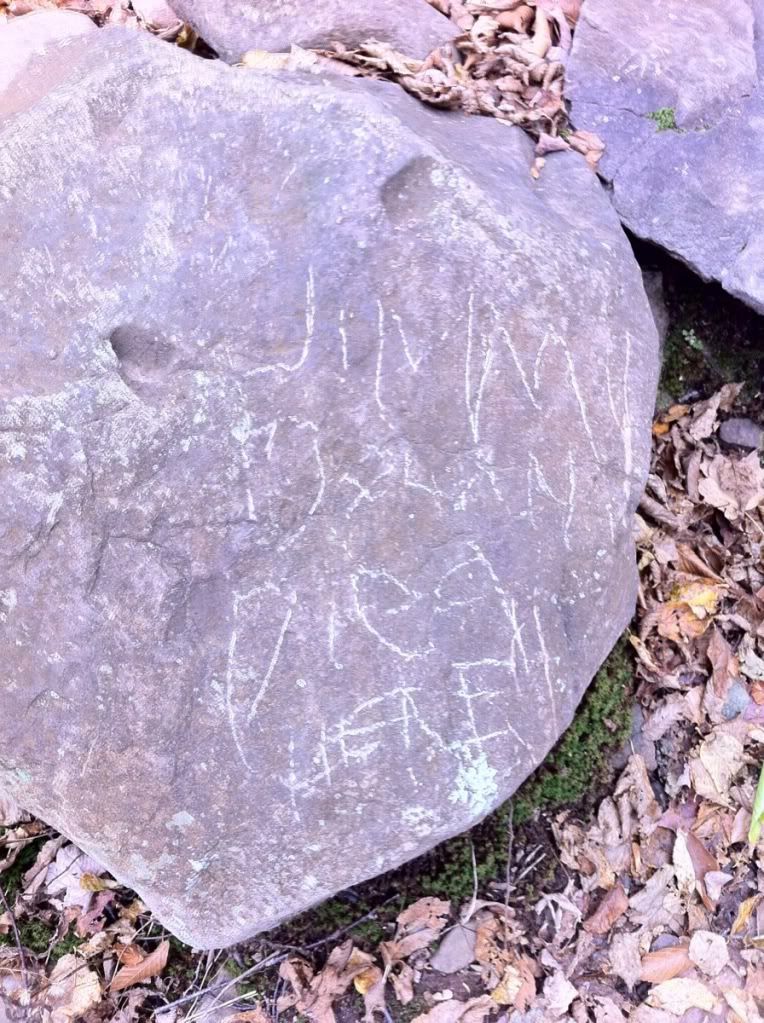
Heading down back to the parking area I noted this in one of the rocks. I tried to find some history on Jimmy Dolan, but couldn't confirm anything. Anyone here have some info on whether this really was the place?
So those are the pictures from the first hike. It was 3 hours and 50 minutes to do this loop. I kept moving because I was slightly cold due to the high winds at the lookout points. A great day of exercise though.
So the next weekend I went back with 3 friends. We got a very late start, but cut some distance out by having two cars. We parked one at Prediger Road PA and then started our hike at the Platte Clove Falls area hiking across the bridge just upstream from the falls. I'm glad we did because we discovered the quarry to the left of the trail, which had some chairs. We had a little fun there and hung out for a bit before we continued.
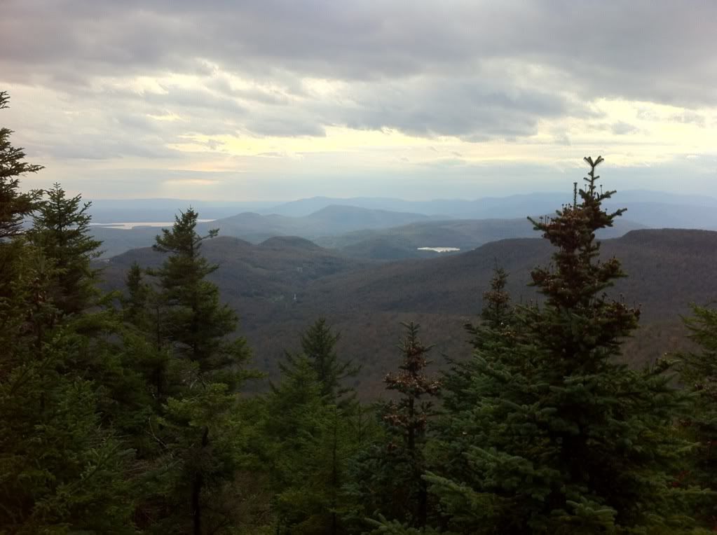
I tried to keep the group moving because I knew we were going to run out of daylight at the pace we were going. You can see in the next two pictures how low the sun was when we arrived at Sherman's Outlook.
We all agreed that we wouldn't rush to be out by dark because we had everything we needed to walk at night. So we continued to soak up the views and slowly made our way back down. This time the hike took 6 hours!!! Regardless, we had a great time together and actually enjoyed the nighttime walk !