
When we started in the morning it was one of those bluebird days with a beautiful cobalt blue sky. After an hour, the clouds moved in. Our hike last week was spectacular, so we tried to keep our expectations reduced.
Along the way, we ran into two groups of cross-country skiers. Overall, we had a nice easy walk in the woods. For those who have never hiked this trail, it is mainly flat. In fact, this is the flattest hike in the Catsills. It is a great cross-country ski trail. 4.5 miles on-way or 9 miles round trip.
Here are some pictures:
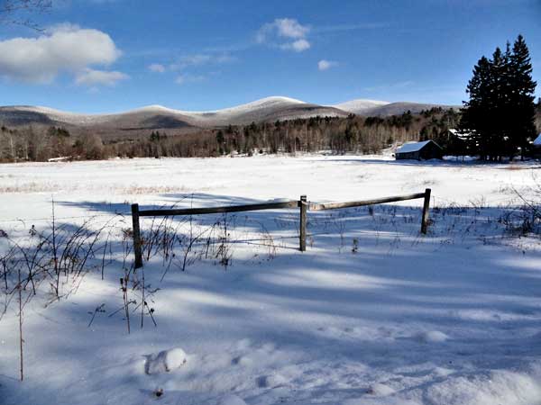
Actually before Colgate Lake - picture of the Blackhead Mtn Range
At the beginning of the hike - Blackhead Mtn in the background
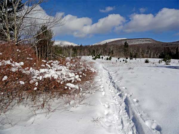
Entering the woods by Colgate Lake
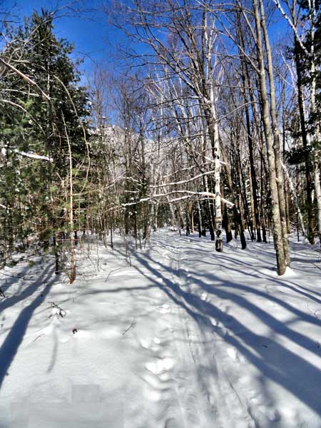
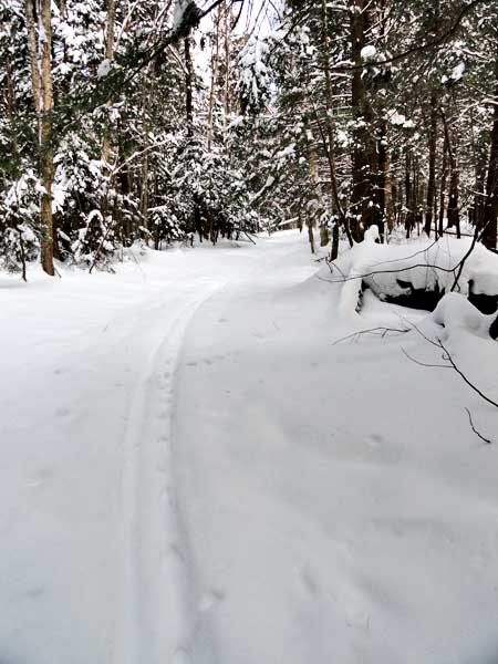
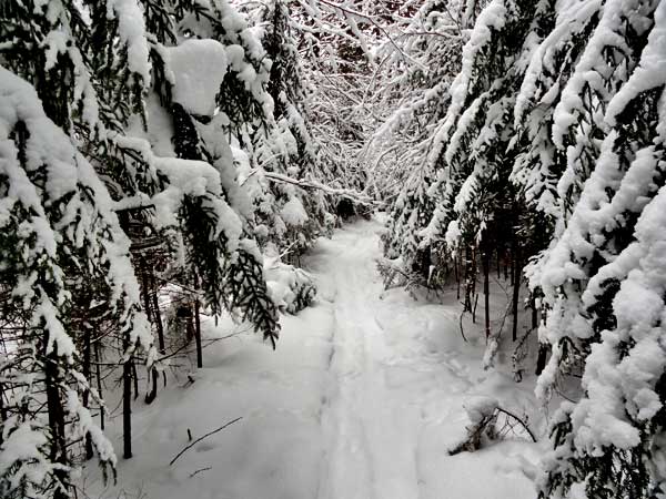
Beautiful hike through the woods
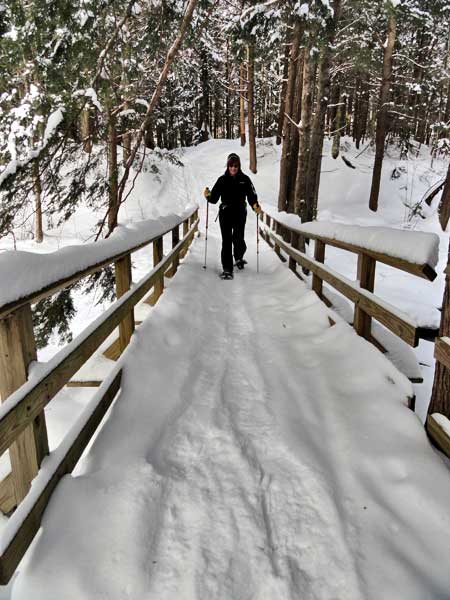
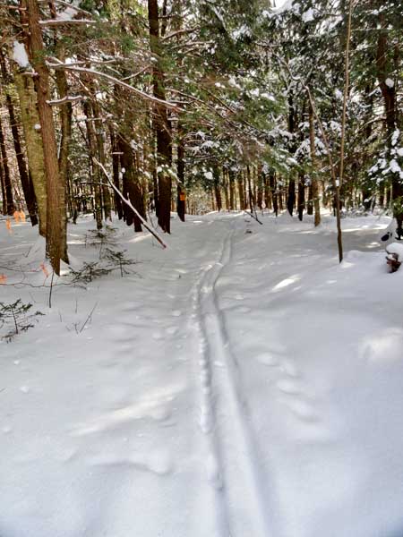
Crossing one of the many bridges on the way to Dutchers Notch
Hiking up one of the many roads from Capra Lake (private)
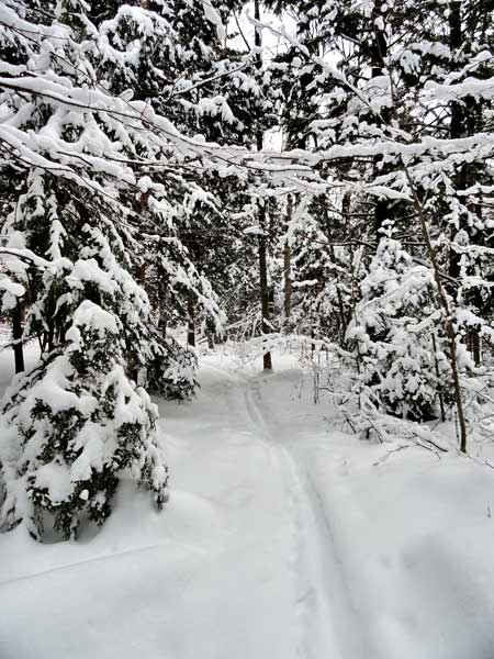
Snow covered trees
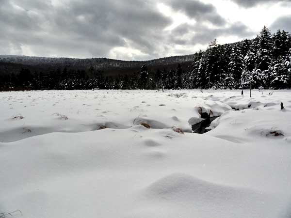
Large Marsh - West Stoppel Mtn to the right of photo
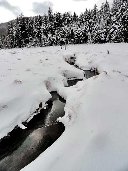
Large Marsh - West Stoppel Mtn to the right of photo
Large Marsh - Stoppel Mtn to the right of photo
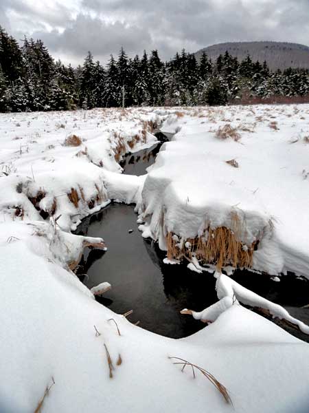
Snow covered Balsam trees by large Marsh
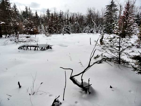
Smaller March - actually first marsh off of the trail

Large tree over the trail - On the way back
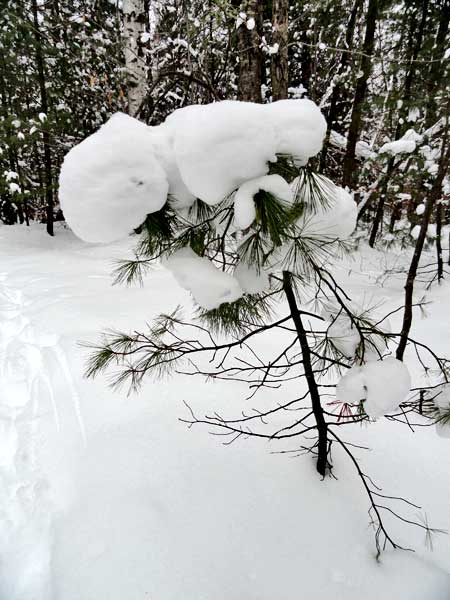
Snow covered tree
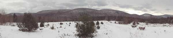
Panoramic picture of Stoppel - West Stoppel - Onteora Mtn/i]
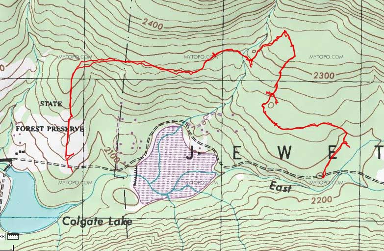
Map of hike