Black Hole in Catskill Escarpment
Posted: Wed May 16, 2012 1:33 pm
So I am a map person, and I have noticed something very odd that happens on the escarpment when looking at it on computer maps....there seems to be a vortex, or some gravity well that sucks everything into it. The elevations drop, the contour lines stack up, the pixels fuse together. Don't know what I'm talking about?
Open up my garmin mapsource, and from the birds eye view the topo takes a turn for the worse
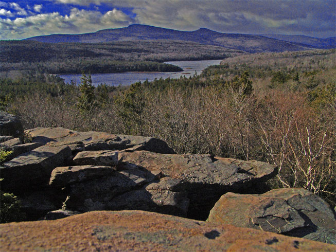
The lake with the big purple section around it is North-South lake.

So I zoom in on this cluster to see what's going on

It looks like there is just a sudden drop in elevation down thousands of feet in what should be the edge of the escarpment. I've hiked there and don't know of any pit of death.
So I say OK maybe it's just my mapsource data is wrong or corrupted. let me check it out on Google.
SO I open up google maps, turn on the terrain settings and look for north-south lake.
What is that?????

You're not allowed to zoom in very far with the terrain feature turned on. So I went to satellite view and zoomed in:

So I said "no way!" The Google maps is only a 2d orthoimage. The Google Earth offers a 3 dimensional view. So I zoomed in on it in Google Earth
Here are two screenshots of it. If you can cross your eyes so the images overlap you can see the depth of the black hole. (or just download Google Earth and look at it yourself)


So I said OK this has gotta be a google screw up. Since I am in this handy dandy map class where we make maps I decided to see what the USGS has to say about things. I download the USGS 24,000 Digital Elevation Models (DEMs) from the CUGIR database for most of the catskills. I loaded up DEM (w46elu.dem) from the website into my GIS program and took a look at the escarpment.
Here it is (i threw in a layer from the national hydrology database for N/S lake for reference) It's color coded from lowest->highest blue->red

So cause it's a digital elevation model I can look at any pixel which are 20m squares and get an elevation. Here are two pixels I looked at (where the arrow is pointing)


The "pixel value" if you can see that number is avg elevation of that 20m pixel. Those elevations are in meters. So it goes from 740meters (~2425 ft) down to 109meters (~357 ft.)
So there is something terribly wrong if the USGS even has it wrong. It's not just google....
If anyone has watched the twilight zone this is it. What happened to the Escarpment? Is there a tear in space and time? Is it 2012????? Is this a black hole sucking the planet through the Escarpment?
Open up my garmin mapsource, and from the birds eye view the topo takes a turn for the worse
The lake with the big purple section around it is North-South lake.
So I zoom in on this cluster to see what's going on
It looks like there is just a sudden drop in elevation down thousands of feet in what should be the edge of the escarpment. I've hiked there and don't know of any pit of death.
So I say OK maybe it's just my mapsource data is wrong or corrupted. let me check it out on Google.
SO I open up google maps, turn on the terrain settings and look for north-south lake.
What is that?????
You're not allowed to zoom in very far with the terrain feature turned on. So I went to satellite view and zoomed in:
So I said "no way!" The Google maps is only a 2d orthoimage. The Google Earth offers a 3 dimensional view. So I zoomed in on it in Google Earth
Here are two screenshots of it. If you can cross your eyes so the images overlap you can see the depth of the black hole. (or just download Google Earth and look at it yourself)
So I said OK this has gotta be a google screw up. Since I am in this handy dandy map class where we make maps I decided to see what the USGS has to say about things. I download the USGS 24,000 Digital Elevation Models (DEMs) from the CUGIR database for most of the catskills. I loaded up DEM (w46elu.dem) from the website into my GIS program and took a look at the escarpment.
Here it is (i threw in a layer from the national hydrology database for N/S lake for reference) It's color coded from lowest->highest blue->red
So cause it's a digital elevation model I can look at any pixel which are 20m squares and get an elevation. Here are two pixels I looked at (where the arrow is pointing)
The "pixel value" if you can see that number is avg elevation of that 20m pixel. Those elevations are in meters. So it goes from 740meters (~2425 ft) down to 109meters (~357 ft.)
So there is something terribly wrong if the USGS even has it wrong. It's not just google....
If anyone has watched the twilight zone this is it. What happened to the Escarpment? Is there a tear in space and time? Is it 2012????? Is this a black hole sucking the planet through the Escarpment?