|
Information about Old Mill Falls: |
| Name: Old Mill Falls |
| County: Greene |
| Region: Platte Clove / Devil's Kitchen |
| Location: Plattekill Creek |
| Order within ravine: 1th of 18 waterfalls (1=highest elevation) |
| Order within waterfall: 1 of 1 (1=highest elevation) |
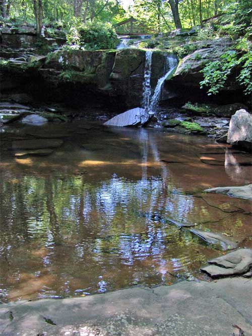
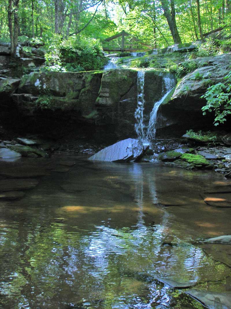
| Total Height: 16' (GPS inf 2010) |
| Top Elevation: 1,819 |
| Bottom Elevation: 1,803 |
| Type of Waterfall: plunge |
| Number of Drops: 1 |
| GPS location: N42 07.978, W74 05.157 |
| WGS84 location: 42.132967, -74.08595 |
| Deg, Min, Sec location: N42 07 58, W74 05 09 |
| UTM location: 18N 575542, 4664944 |
| Named: 1800's |
| Previous or Alternate Names: none known |
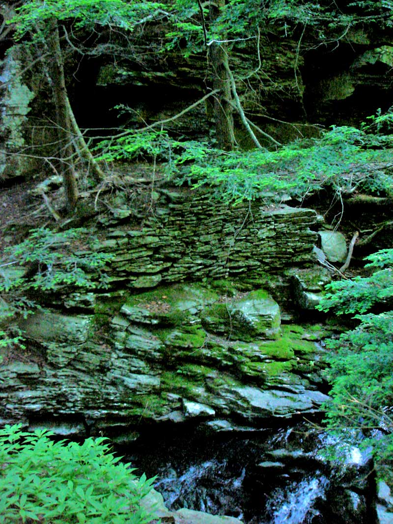
| Description: Old Mill Falls. In the 1800's there was an old mill just below this waterfall and just above Plattekill Falls |
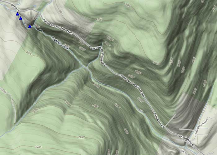
| Hiking Distance: 100' from Platte Clove Road (by the Little Red House). |
| Elevation Loss: 25' from Rt 16 (Platte Clove Road) Parking lot on side of road. |
| Digital Mapper:
Topo
Terrain
Satellite |
| Access Methods: Hike |
|
Directions to Trail Head from New York State Thruway (Easist, not the shortest): |
| GPS Coordinates to Parking Lot on Rt 16: N42 07.997 W74 05.151 (WGS84: 42.133283, -74.08585) - Elevation is approximately 1,846 feet |
| Take New York State Thruway to Exit 21 (Catskill). |
| Take a left out of the NYS Thruway entrance road. |
| Go approximately 3/4 mile |
| Take a right onto Route 23 West |
| Go approximately 6.6 miles to Cairo, NY |
| Take a LEFT onto Rt 32. McDonalds Rest. on corner. |
| Go approximately 7.7 miles on Rt 32 |
| Take a RIGHT onto Rt 23A |
| Go approximately 9.0 miles on Rt 23A . |
| Go approximately 5 miles on Rt 16 (Platte Clove Road) . |
| When you come into Tannersville, take LEFT at the red light onto RailRoad Ave (Rt 16), which will turn into Spruce Street, which will turn into Platt Clove Road. Follow this road approximately 7-8 miles |
| The parking lot is on the RIGHT side of the road. You will actually be parking on the side of the road |
| It is approximately 1/4 mile past Josh Road (on right side of the road). N42 07.997 W74 05.151 (WGS84: 42.133283, -74.08585) - Elevation 1,846' |
| If you start to go down the hill to the valley, then you have gone too far. The downhill section of the road is closed in the winter. |