Acra Point Loop
|
 |
| |
|
|
|
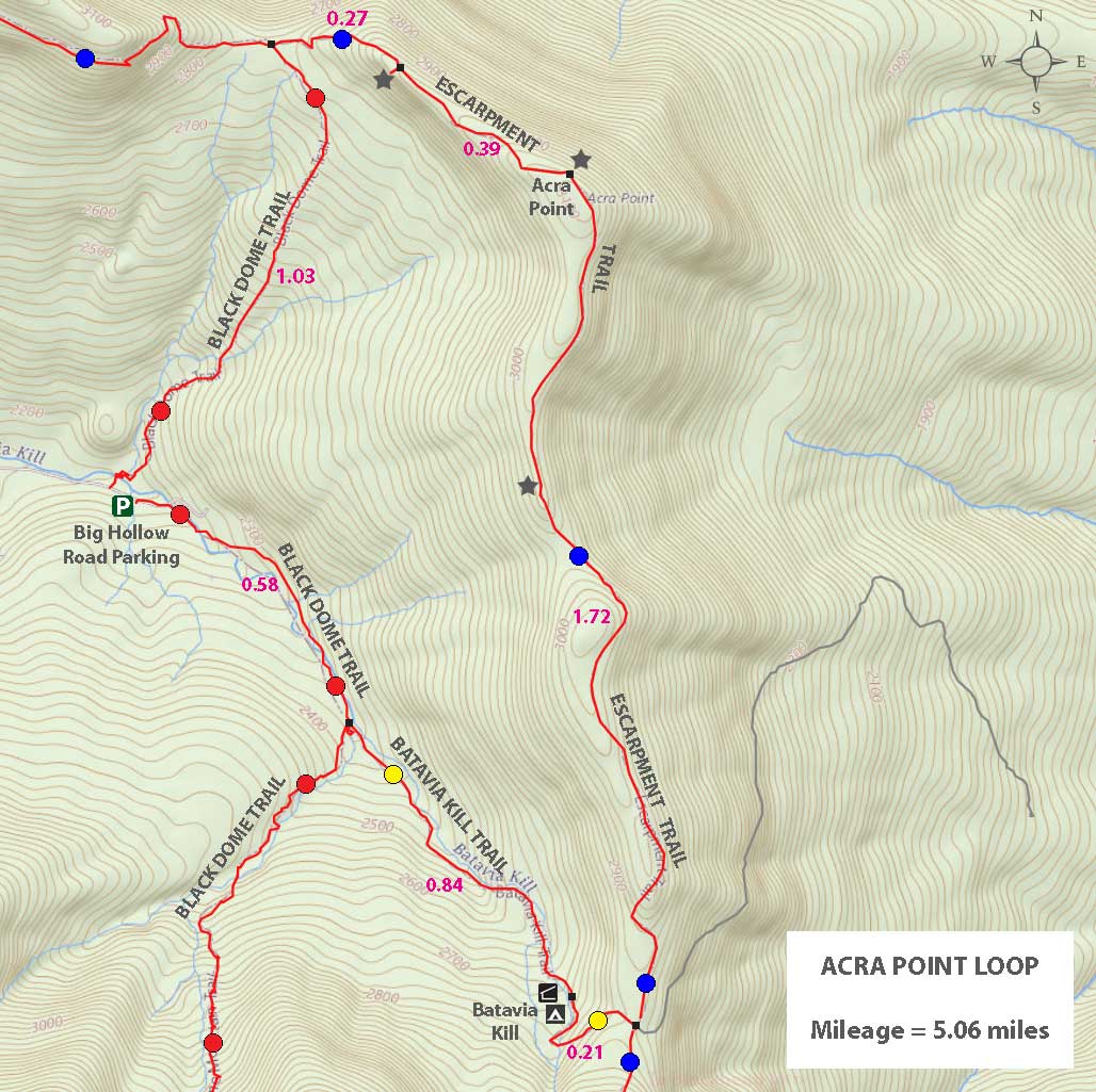
Maps, Profile, and GPS files |
 |
|
|
| | DIRECTIONS from Exit 19 (Kingston) |
| | DEC parking lot in Batavia Valley. GPS: N42 17.334 W74 06.900. |
| | Take New York State Thruway to Exit 21 (Catskill). |
| | Take a left out of the NYS Thruway entrance road. |
| | Go approximately 1/2 mile |
| | Take a right onto Route 23 West |
| | Go somewhere around 21.5 miles on Route 23. |
| | Take a left onto County Rt 65 (Main Care Gas Station on Right - Condos on left). |
| | Go approximately 0.7 miles on Route 65. |
| | Take left onto Rt 65A. |
| | Go approximately 0.3 miles on Rt 65A . |
| | Continue Straight onto Rt 40 after stop sign. |
| | Go approximately 1.8 miles on Rt 40. |
| | Take a left onto Rt 56 (3-way intersection in Maplecrest). |
| | Follow Rt 56 approximately 4.2 miles |
| | Continue off the asphalt road to the gravel road until you reach the DEC parking lot. GPS: N42 17.334 W74 06.900 |
| | Do NOT block driveway in the DEC parking lot. This goes to someones house. |
| | Do NOT drive beyond the DEC parking lot. This is someones driveway. |
| | Land around the DEC parking lot and the beginning of the trail is PRIVATE land. Please respect private landowners. |
|
|
MILEAGE CHART for Acra Point Loop |
| | Miles | Total | Altitude | Notes |
| | 0.00 | 0.00 | 2,237 | DEC Parking Lot - GPS: N42 17.339 W74 06.906 |
| | 0.06 | 0.06 | 2,231 | Trail Head - Head back down the road towards Maplecrest - N42 17.360 W74 06.965 |
| | 0.32 | 0.38 | 2,378' | Cross steam again |
| | 0.65 | 1.03 | 2,771' | Trail Junction - Left will take you to Burnt Knob - Right will take you to Acra Point - Go RIGHT - Moderate uphill climb. |
| | 0.27 | 1.30 | 2,991 | Trail Junction on Right side of trail - View from Un-named Ledge #1 |
| | 0.02 | 1.32 | 2,991 | Un-named Ledge #1 |
| | 0.39 | >1.71 | 3,084' | Acra Point |
| | 1.72 | 3.43 | 2,871 | Trail Junction - Straight goes to Blackhead Mtn (difficult climb) - Right takes you to DEC parking lot - Go RIGHT. |
| | 1.05 | 4.48 | 2,410 | Trail Junction - Left goes to Blackdome Mtn - Straight takes you to DEC parking lot - Go STRAIGHT. |
| | 0.58 | 5.06 | 2,237 | DEC Parking Lot - End of this hike. |
|
|
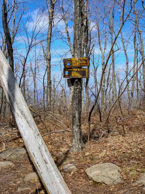
Hike of Acra Point Loop Trail - Windham Mtn Range |
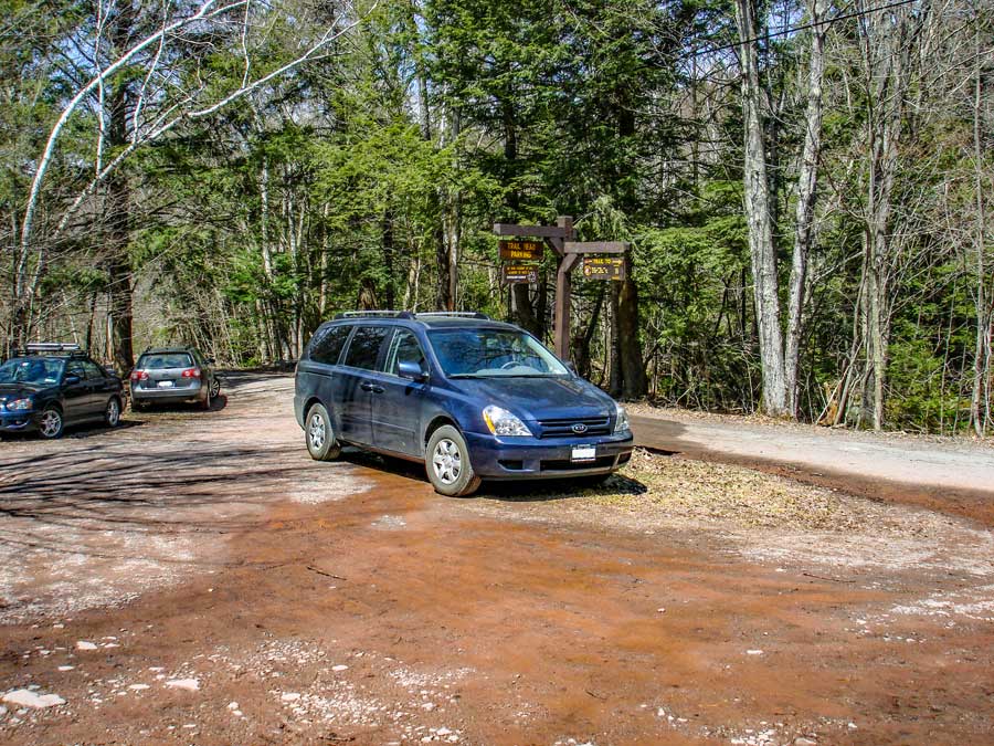 |
The picture on the above is the Batavia Kill Parking Area. Do not block the drive way on the west side of the parking lot. This crude driveway leads up to a summer house. The road that leads past the DEC parking lot leads to a house, so do NOT go beyond the DEC parking lot. The last 1/2 mile to the DEC parking lot is not plowed in the winter. Some people try to drive up (with 4WD) to the DEC parking lot in the winter and get stuck. The section of the road has a high crown, which caused 4WD to slip off the side of the road.
|
|
 |
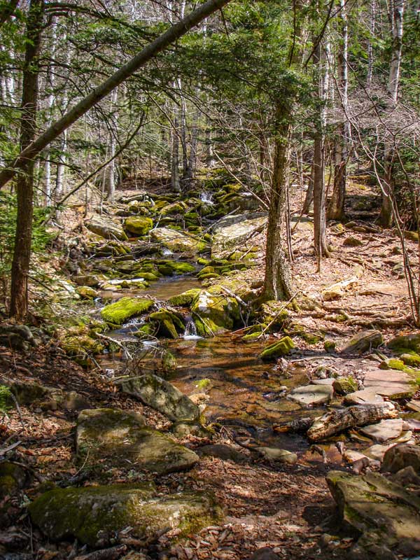 |
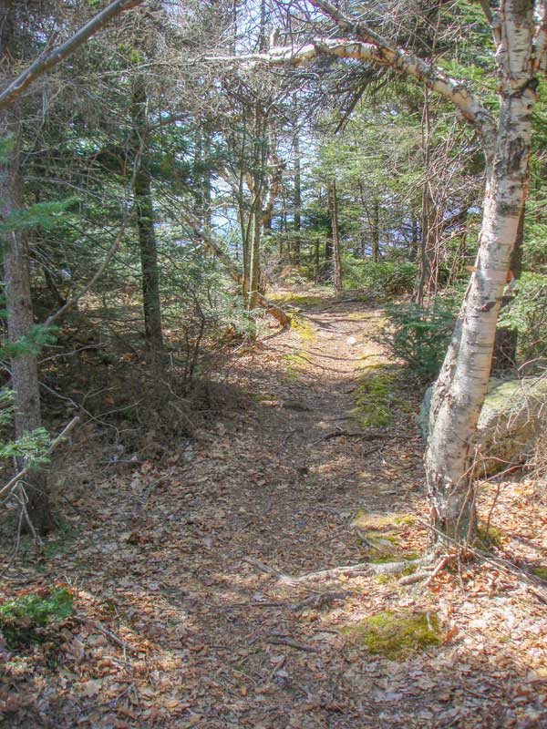
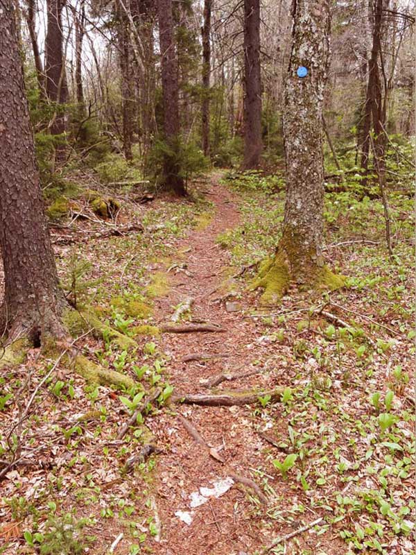
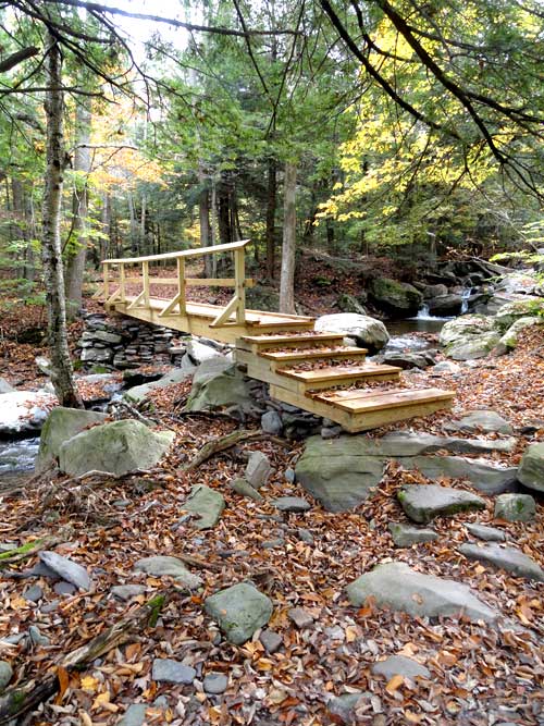
The trailhead to Acra Point is back DOWN the road 300 feet. You will find a wooden bridge that will cross the creek. Once you cross the bridge you will need to cross another creek. If the creek is high it can be difficult to cross, or even impossible. |
Once you cross the bridge you will need to cross another creek (in picture). If the creek is high you should NOT attempt to cross the creek. You can bushwack up the LEFT side of the creek bed. The trail will cross the creek again about 3/10 mile up the creek. So, crossing the creek is not that important. |
|
 |
 |
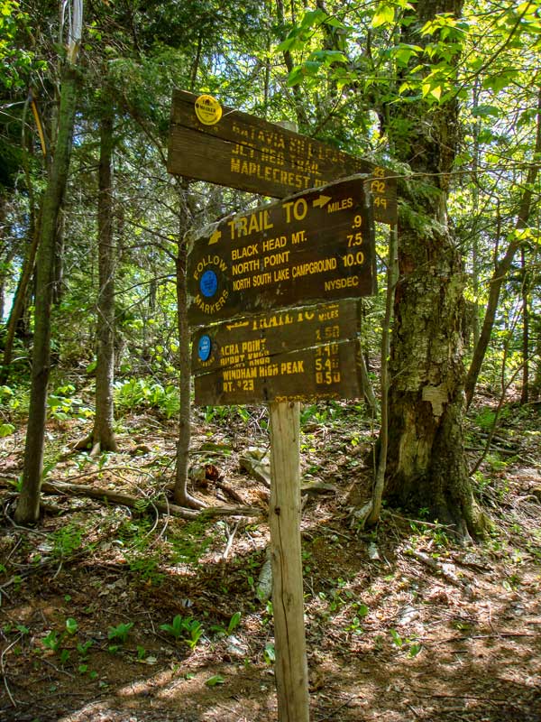
At mile post 1.03, you will encounter the trail junction in the picture. Left will take you to Burnt Knob. Right will take you to Acra Point and Blackhead Mountain. Go RIGHT. You will climb a small moderate hill. At the top of the hill you will see a trail on the RIGHT which will take you to an un-named ledge with a great view of the Blackhead Mountain Range. |
The trail further down the Escarpment trail is flat for the most part. The ridge you will be walking on is 50 to 200 feet wide. Some of the ledges off the trail are quite high. Some are over 100 feet high. It is a nice walk. |
|
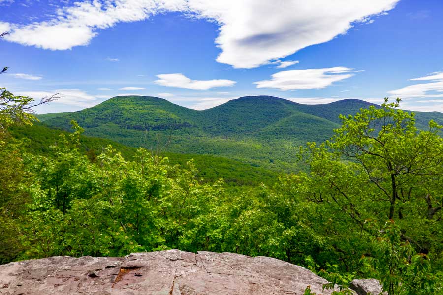 |
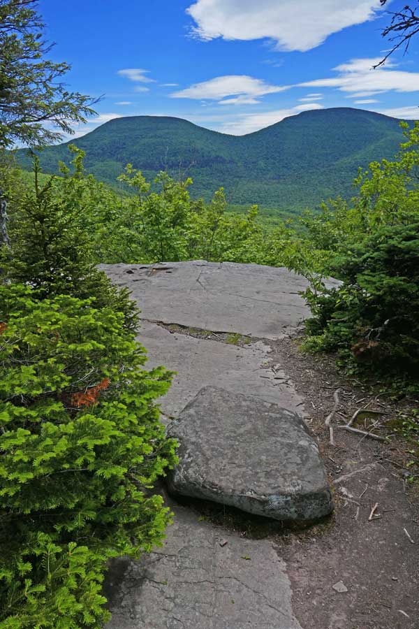
The picture above shows Blackhead Mountain (left), Black Dome Mountain (center), and Thomas Cole Mountain (right). You can see this view after hiking down the side trail 100 feet to an Un-named Ledge. You can also see Burnt Knob right of Thomas Cole Mountain (not in picture).
. |
|
 |
 |
At mile post 1.71, you will encounter Acra Point. Unfortunately, the brush and trees have grown up over the years and have obscured the great view that past generations had.
| After Acra Point, the trail is fairly flat for quite a ways as you move along the ridge line.
|
|
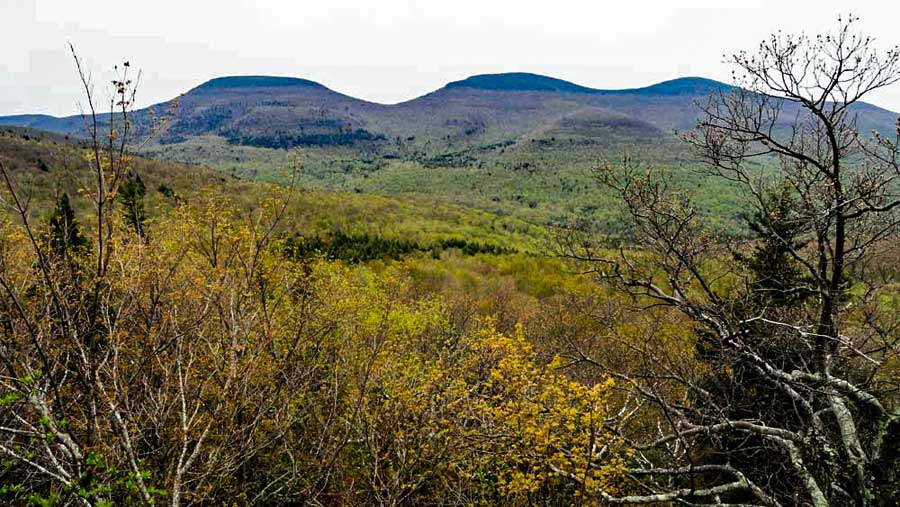 |
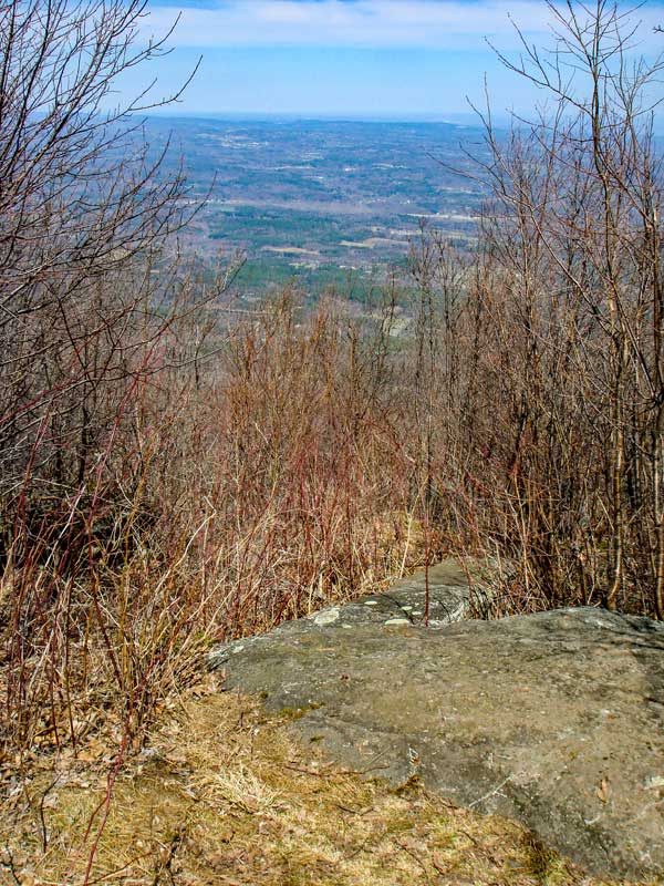
Further down the trail is another view point on the right side of the Escarpment Trail. The picture above shows Blackhead Mountain (left), Black Dome Mountain (center), and Thomas Cole Mountain (right).
|
|
 |
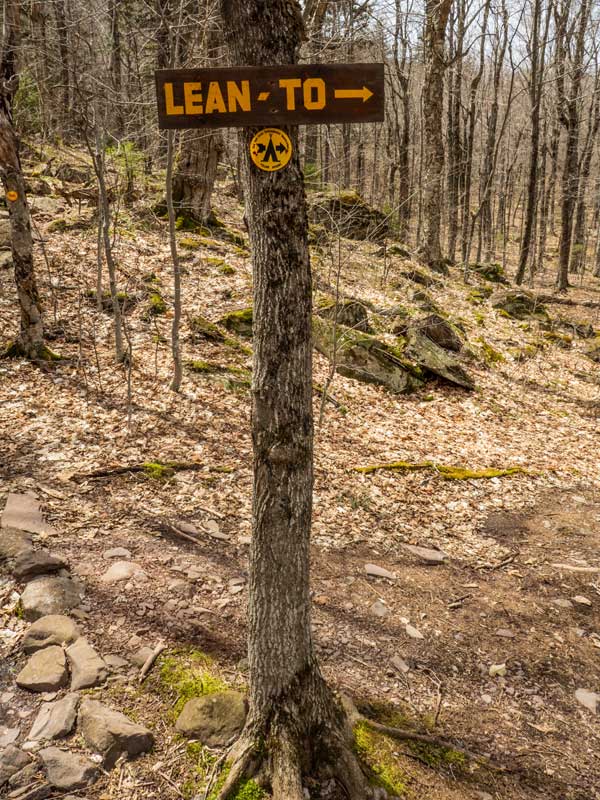 |
At mile post 3.43, you will encounter a trail junction. Right will take you back to the DEC parking lot. Go RIGHT. Straight will take you to the summit of Blackhead Mountain. The trail to the summit of Blackhead is steep and difficult. |
After hiking about 2/10 mile down the Batavia Kill Trail, you will come to where the DEC primitive campsite and Lean-to are located on the LEFT side of the trail. |
|
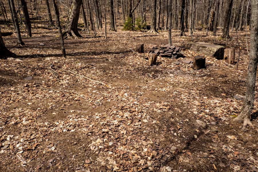 |
This is the DEC Batavia Kill Primitive Campsite. |
|
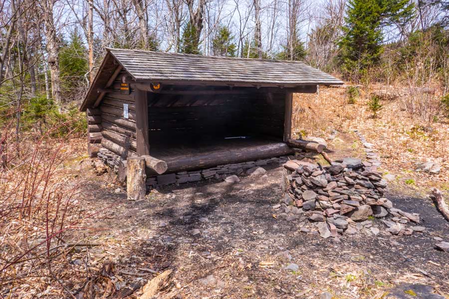 |
This is the Batavia Kill lean-to. |
|
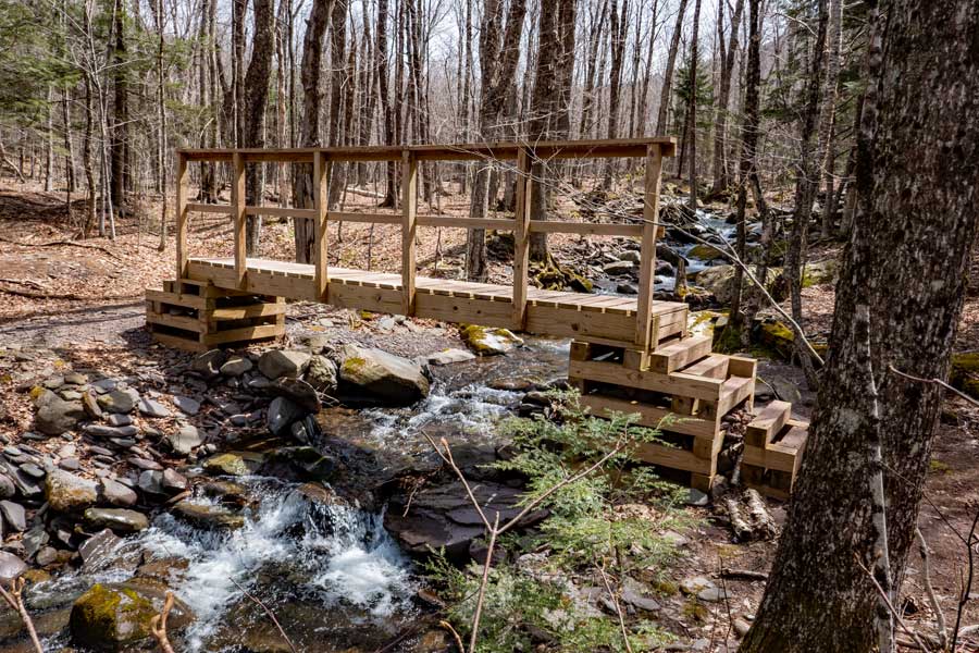 |
This is the first of several wooden bridges that criss-cross the Batavia Kill Creek.
You will also see on the left side of the Batavia Kill Trail, another trail that goes up to the col between Blackhead Mountain and Black Dome Mountain. |
|
 |
 |
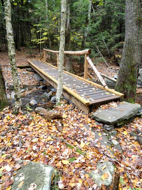
These are two other wooden bridges on the Batavia Kill Trail.
|
|
|
S E C T I O N S
|
W E A T H E R
|
O T H E R
|