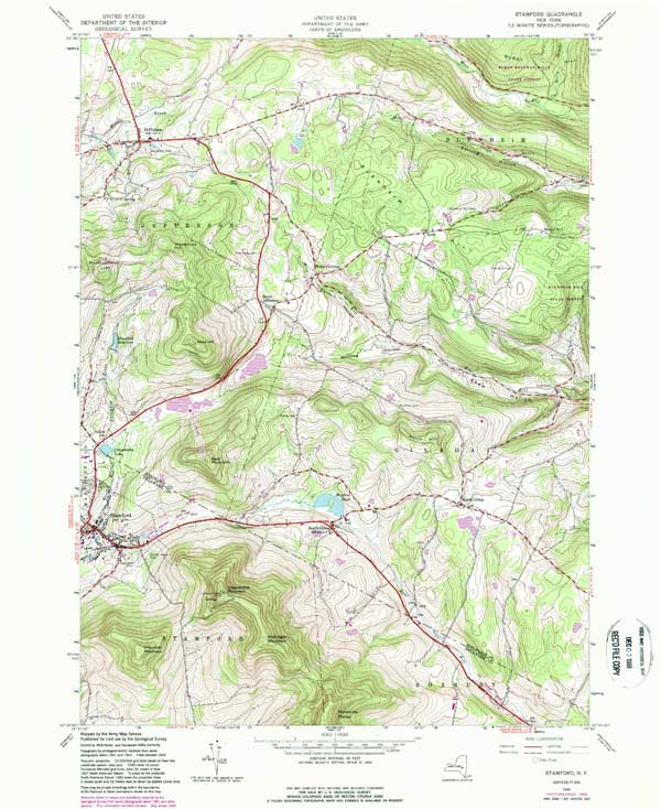
Information about Stamford Quadrangle: Name: Stamford Quadrangle (Scale=1:24,000) County: Delaware Region: Lower Eastern Delaware County Digital Mapper: Topo Terrain Satellite View and Downloads of USGS Topo Maps of Stamford Quadrangle: VIEW: 1904 USGS Topo Map (2485 x 3016 - 1.38mb - 1:62,500) VIEW: 1945 USGS Topo Map (3289 x 4024 - 2.31mb - 1:24,000) DOWNLOAD: 1945 USGS Topo Map in pdf format (High-Resolution - 15.4mb - 1:24,000) Home | Catskill Mountaineer Forum | Links | News | Magazine | Email | Books | Hiking | History | Nature | Reviews Copyright 2001-2012 www.catskillmountaineer.com ALL RIGHTS RESERVED
View and Downloads of USGS Topo Maps of Stamford Quadrangle: VIEW: 1904 USGS Topo Map (2485 x 3016 - 1.38mb - 1:62,500) VIEW: 1945 USGS Topo Map (3289 x 4024 - 2.31mb - 1:24,000) DOWNLOAD: 1945 USGS Topo Map in pdf format (High-Resolution - 15.4mb - 1:24,000)