OVERVIEW of Hike to TREMPER MOUNTAIN FIRE TOWER |
| | Trail Type: | Official DEC Trail |
| | Distance: | 5.98 miles from Woodland Valley and back. |
| | Time: | Average 3.50 hours round trip |
| | Elevation Gain: | 1,966 feet from DEC parking lot on Rt 40. |
| | Other names: | Mount Tremper |
| | Best Time to Hike: | Morning. |
| | Difficulty: | Easy |
| | Peak Elevation: | 2,724' |
| | |
|
| | USGS Official Names: | Tremper Mountain (ID: 967788) |
| | USGS Elevation: | 2,710' (USGS) |
| | USGS Tremper-WGS84: | 42.074535, -74.278202 |
| | USGS Tremper-Lat-Long: | N42 04 28, W74 16 41 (Degree, Minute, Second) |
| | USGS Tremper-GPS: | N 42 04.472, W 74 16.692 |
| | USGS Tremper-UTM: | 18N 559708 4658304 |
| | USGS Official Map: | Phoenicia Topographical Map (free) |
| | |
|
| | DEC Information: | NYS DEC information on Phoenicia - Mt Tobias Wild Forest |
| | |
|
| | DEC Trail GIS Map: | DEC GIS Map of Phoenicia - Mt Tobias Wild Forest (free) |
| | |
|
| | Digital Mapper: |
Topo
Terrain
Satellite |
| | Access Methods: | Foot & snowshoe |
|
Maps |
 |
|
|
| | DIRECTIONS TO TRAIL HEAD |
| | DEP Parking Lot WGS84 (DEC): 42.066017, -74.303167 - Elevation is approximately 750 feet |
| | DEP Parking Lot Deg/Min/Sec: N42 03 57, W74 18 11 - Elevation is approximately 750 feet |
| | DEP Parking Lot GPS: N 42 03.961, W 74 18.190 - Elevation is approximately 750 feet |
| | DEP Parking Lot UTM: 18N 557651 4657341 - Elevation is approximately 750feet |
| |
|
| | Take New York State Thruway to Exit 20 (Saugerties). |
| | Take a LEFT out of the NYS Thruway toll booths onto Rt 32 South. |
| | Go approximately 0.2 miles west on Rt 32 |
| | Take a RIGHT onto Rt 212 at the red light (Hess gas station across the road) |
| | Go 9 miles into the Village of Woodstock, NY |
| | Continue 1.8 miles to Berarsville, NY |
| | Take a RIGHT at Bearsville and stay on RT 212 to Phoenicia |
| | Continue 9.2 miles on Rt 212 |
| | Take a RIGHT onto Rt 40 |
| | Go 2.0 miles on Rt 40 |
| | The DEC Parking lot is on the RIGHT side of the road. |
|
|
NOTES ABOUT THIS HIKE |
| | Hiking Tremper Mountain is a nice hike up the old jeep trail to the Tremper Mountain Fire Tower. The parking lot has been moved 3/10 of a mile down the road. The DEC parking lot is right next to the Rt 40. The trail head starts next to the DEC sign. Walk over a couple wooden bridges. The hike immediately climbs up 100 vertical feet up the stairs made out of rocks. Then for the next 1/2 mile the trail goes over fairly level ground.
After 3/10 of a mile, you will be joined with the old jeep trail to the Tremper Mountain Fire Tower. The DEC registration box is at the junction of the trail and jeep trail. Make sure that you register for the hike. Then head up the old jeep trail.
NOTICE: There are Timber Rattlesnakes on Tremper Mountain. There is a Rattlesnake den about 100 feet off the trail in the old blue stone quarry at elevation 1,450' (on trail - actual quarry is around 1,500'). It has been reported that there are approximately 100 Timber Rattlesnakes in the den at the old blue stone quarry on Mount Tremper. There is an old road that leads into the quarry. Picking up rocks in the quarry is an easy way to get bit. Rattlesnakes will come down and sit on the side of the trail, or even in the trail. They can be found anywhere on the mountain from Spring until late Fall. But, most are found around 1,450'. Before you do this hike, you should become knowledgable about Rattlesnakes. Click here to learn about them.
The old jeep trail zig-zags up a number of switch backs. It is a fairly rocky path. When the rocks are wet, they are particularly slippery. From time-to-time you will drift in-and-out of conifer forest. Around 2,600' the old jeep trail will level off to a very easy grade.
There are two lean-to on Tremper Mountain. The first Lean-To on Tremper Mountain is the Baldwin Lean-To at 2,100 feet. The second Lean-To on Tremper Mountain is at 2,700 feet. The second Lean-To on Tremper Mountain is called the Tremper Mountain Lean-To. The second Lean-To is 250 feet away from the Tremper Mountain Fire Tower. There is also a Spring around 2,200 feet. The Tremper Mountain Fire Tower has been restored. Also the Tremper Mountain Fire Tower is limited to a maximum of six people at one time. Most of the trees around the Fire Tower have now grown up to almost the full height of the tower, so the view is becoming limited.
Prior to 1836 Tremper Mountain had a significant amount of Hemlock Trees. Between 1836 and 1879, they removed virtually all of the Hemlock trees from Tremper Mountain. the Hemlock trees were harvested for the bark. They used the bark for tanning leather. Tremper Mountain has had a number of forest fires. They had forest fires in the years 1881, 1888, 1916, and 1917. The large Tremper House Hotel was built in 1979. It was located near Tremper Mountain. The first part of the Phoenicia Wild Forest was first acquired between 1906 and 1910.
The Tremper Mountain Fire Tower was built in 1917, and was built to replace the fire tower on Slide Mountain. It was used up until 1971. After 1971, the fire tower was abandon, and fell into disrepair. The Tremper Mountain Fire Tower was restored and opened to the public on June 9, 2001. The Tremper Mountain Fire Tower is 47 feet high.
Tremper Mountain got it's name from the owner and founder of the Tremper House Hotel. His name was Major Jacob Tremper. |
|
|
MILEAGE CHART |
| | Mile Point | Altitude | Notes |
| | 0.00 | 750 | DEC Parking Lot on Rt 40 |
| | 0.30 | 839 | DEC Registration Box. |
| | 2.03 | 2,100' | Side Trail to Baldwin Lean-To on RIGHT. |
| | 2.07 | 2,094' | Baldwin Lean-To |
| | 2.14 | 2,100 | Return back to Trail. |
| | 2.22 | 2,196 | Side Trail to Water Spring on LEFT. |
| | 2.24 | 2,210 | Water Spring. |
| | 2.26 | 2,196 | Return back to trail. |
| | 2.94 | 2,700 | Tremper Mountain Lean-To |
| | 2.99 | 2,712 | Tremper Mountain Fire Tower. |
| | 5.98 | 750 | Return back to DEC Parking Lot. |
|
|
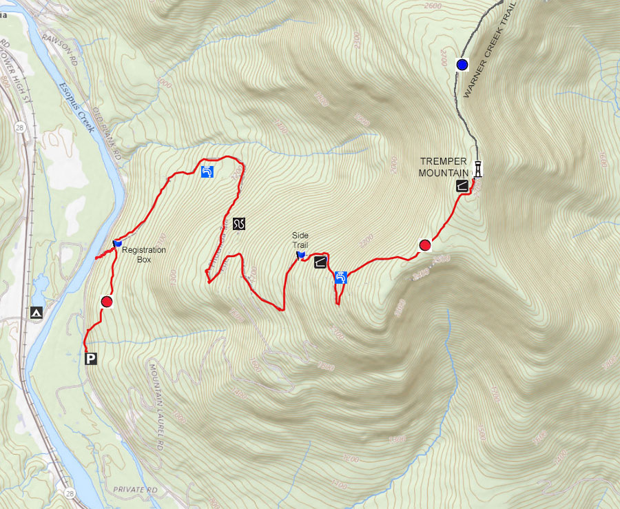
Hike to Tremper Mountain and Tremper Fire Tower |
 |
 |
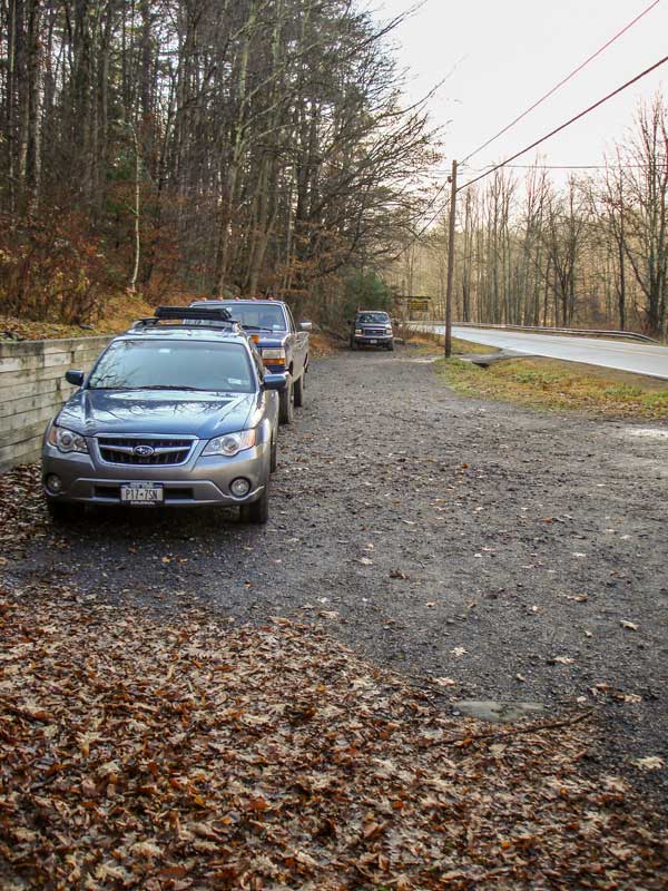
The DEC Parking Lot is located right next to Rt 40. The parking lot holds approximately 10 cars. There is another parking lot about 2/10 of a mile towards Phoenicia, which holds approximately 8 cars.
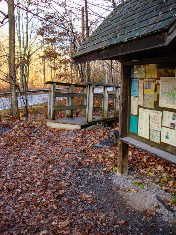
The trail head is right next to the DEC message board. It starts by crossing several wooden bridges. You will then climb 100 vertical feet up a steep hill that has stone steps.. |
|
 |
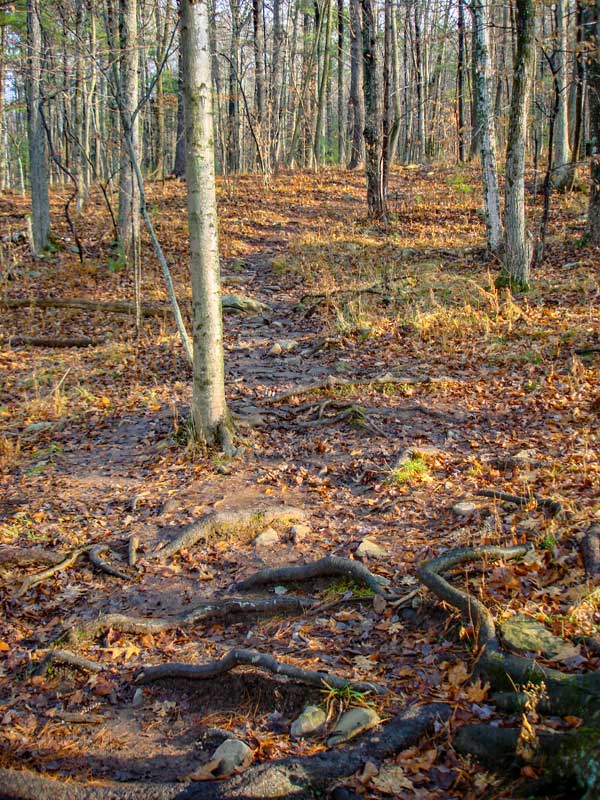 |
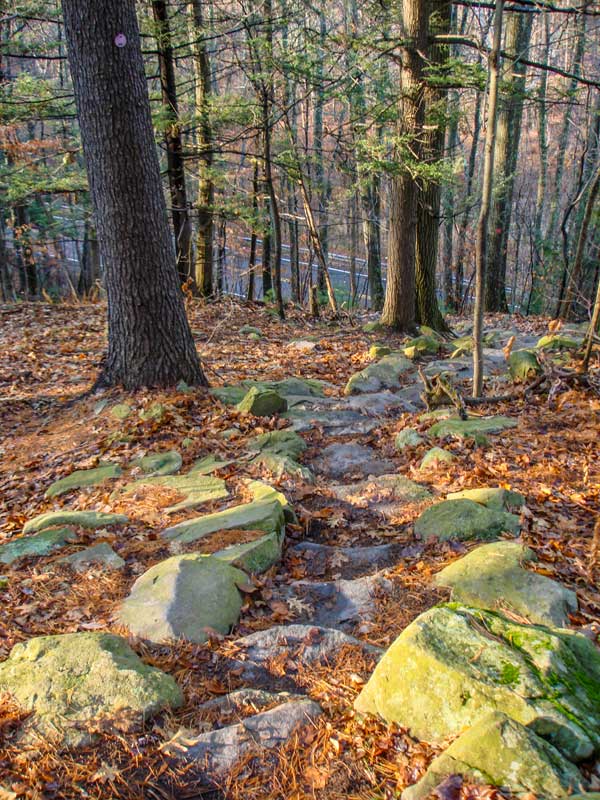
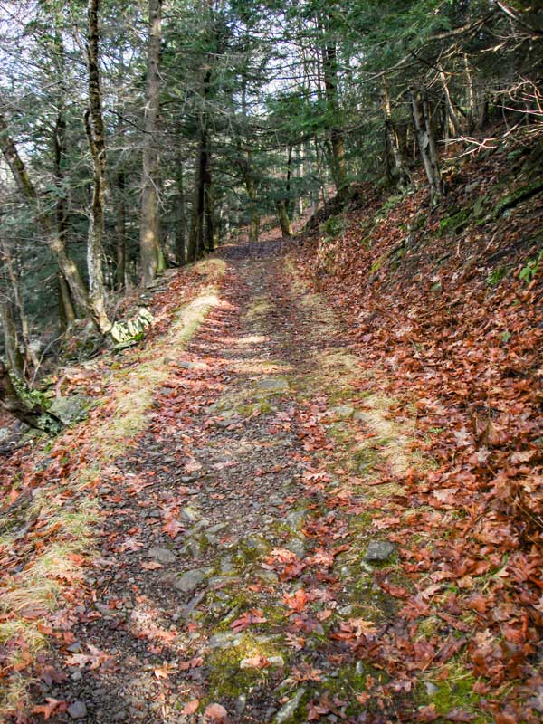
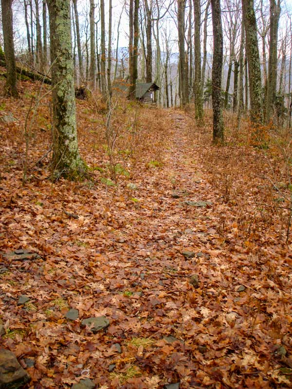
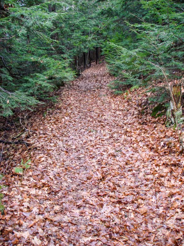
This is a picture of the steep climb, looking backwards. There are stone steps up the steep climb. When they are wet, they are quite slippery.
After you climb the steep hill, you will then walk down a fairly level path for 1/4 mile. This hike will link you up with the Jeep trail that will take you to the top of Mount Tremper and Tremper Mountain Fire Tower. |
|
 |
 |
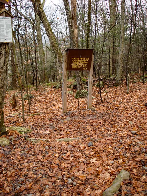
At mile post 0.30 miles, the trail will meet with the jeep trail. At this intersection is a DEC Registration box. Please register for the hike.
Like many of the fire tower hikes, the jeep trail to the Tremper Mountain Fire Tower has a steady incline that never seems to stop. This trail does the same. |
|
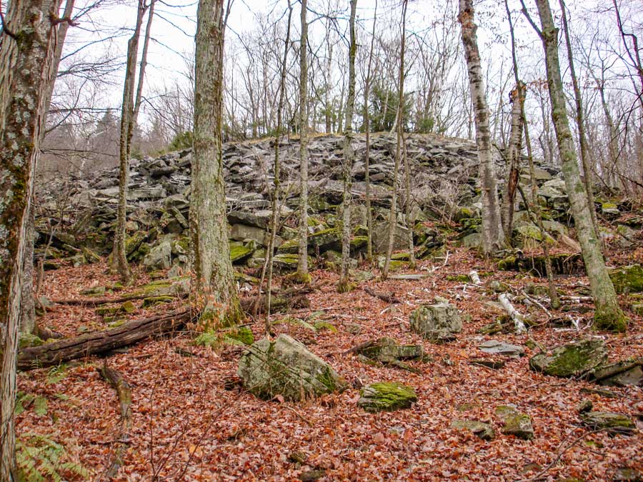 |
At mile post 1.18 miles and elevation 1,450' feet you will see a large blue stone quarry on your left. It is about 50 vertical feet up the side of the mountain. There is a Timber Rattlesnake den in this quarry. It is possible to see a Timber Rattlesnake anywhere on the mountain, but you are most likely to see one at this particular location. Timber Rattlesnake's body are as thick as a man's forearm. They usually sit coiled up waiting for prey. They usually will not rattle until you are very close to them. If you step within 3 feet of them, or step on them, they will strike. They like to be left alone. |
|
 |
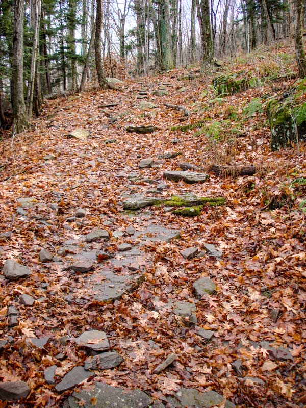 |
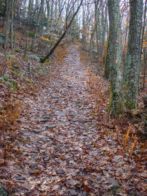
Here are two more pictures of the steady uphill climb up the Jeep trail. There are a number of switchbacks to keep the grade steady. |
|
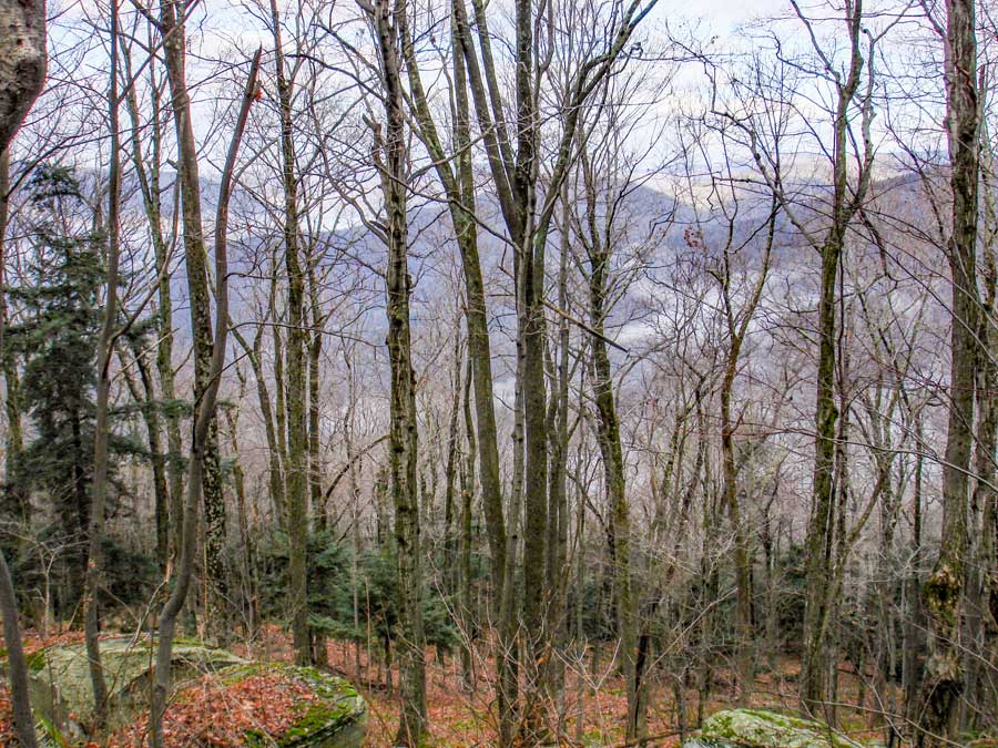 |
Here is a picture at one of the western switchbacks that shows the valley floor below. |
|
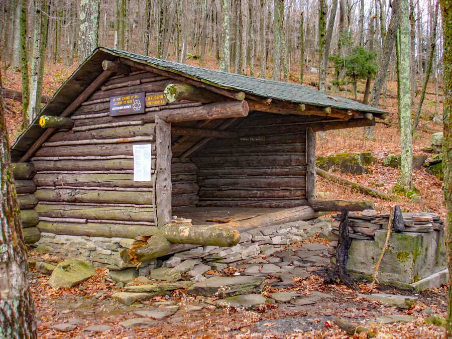 |
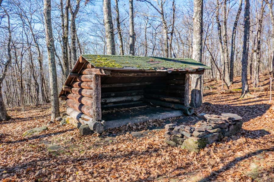
At mile post 2.03 (elev 2,100') you will see a side trail on the RIGHT that leads to the Baldwin Memorial Lean-To. The Lean-to is hard to see when the leaves are on the trees. It is even harder to see when there are ground plants growing. The Baldwin Memorial Lean-To is 200 feet off the trail. The Baldwin Memorial Lean-to also has a nice fireplace pit. It looks to the south for morning sunlight to enter. Porcupines and Timber Rattlesnakes do visit this Lean-to. |
|
 |
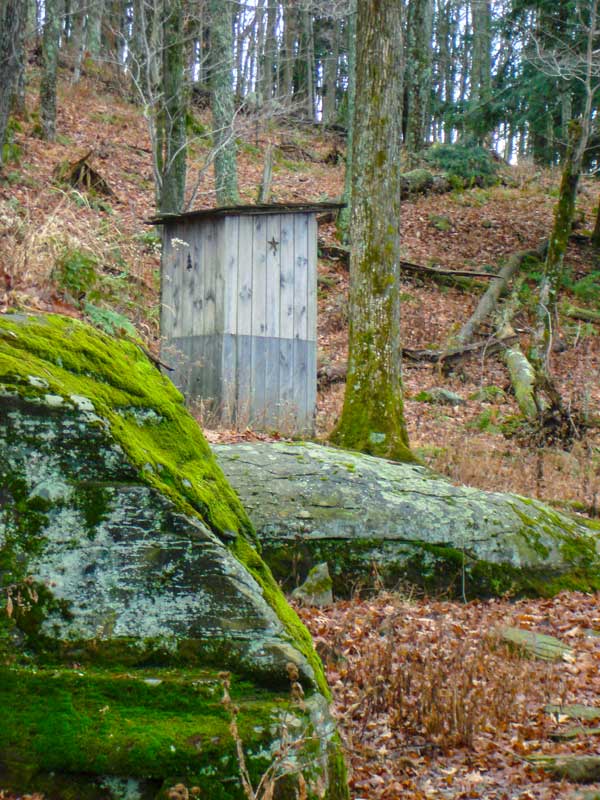 |
The picture on the LEFT is a picture of the Baldwin Memorial Lean-to from the Jeep Trail in the Winter. In summer you often cannot see the Baldwin Memorial Lean-to from the Tremper Mountain Jeep trail.
The picture on the RIGHT shows the new outhouse (picture taken in 2009). |
|
 |
 |
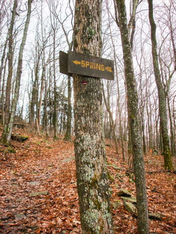
At mile post 2.22 (elev 2,196'), there is a sign on the right side of the trail telling you that a water spring exist.
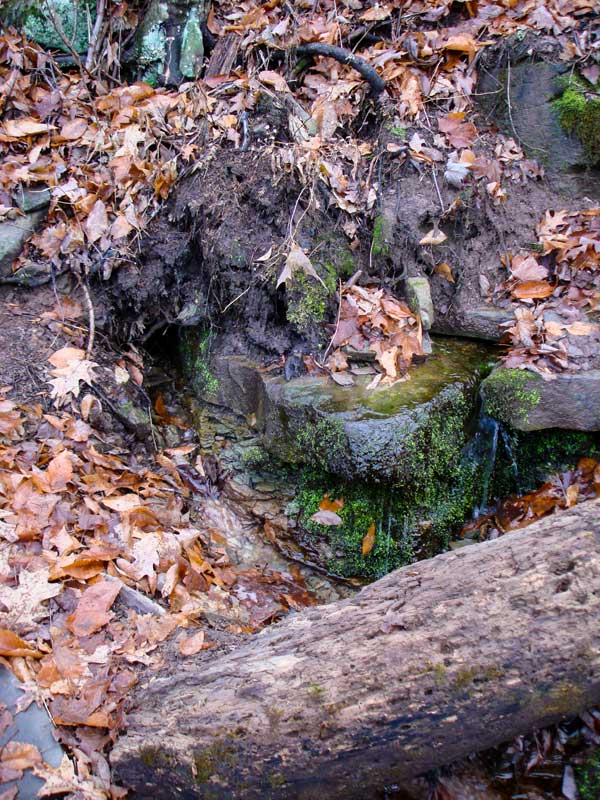
The picture on the right shows the water spring. The water comes out of the ground at a fairly good rate from two sources.
|
|
 |
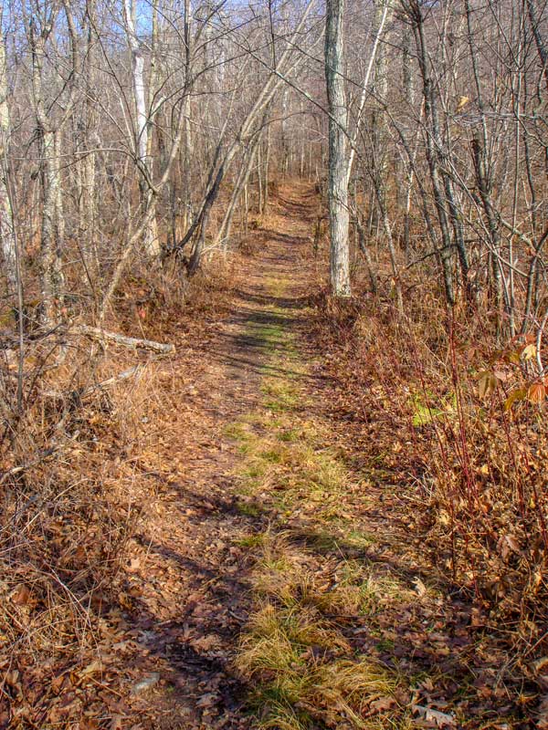 |
The picture on the left shows the trail to the Tremper Mountain Fire Tower going through a small conifer forest.
At mile post 2.60 and elevation of 2,600' the trail to the Tremper Mountain Fire Tower levels off to an easy hike. You can see that trail in the picture on the right. |
|
 |
At mile post 2.94 (Elev 2,700) you will see a second lean-to on the LEFT. This lean-to is called the Tremper Mountain Lean-to. It is 250 feet away from the Tremper Mountain Fire Tower. |
|
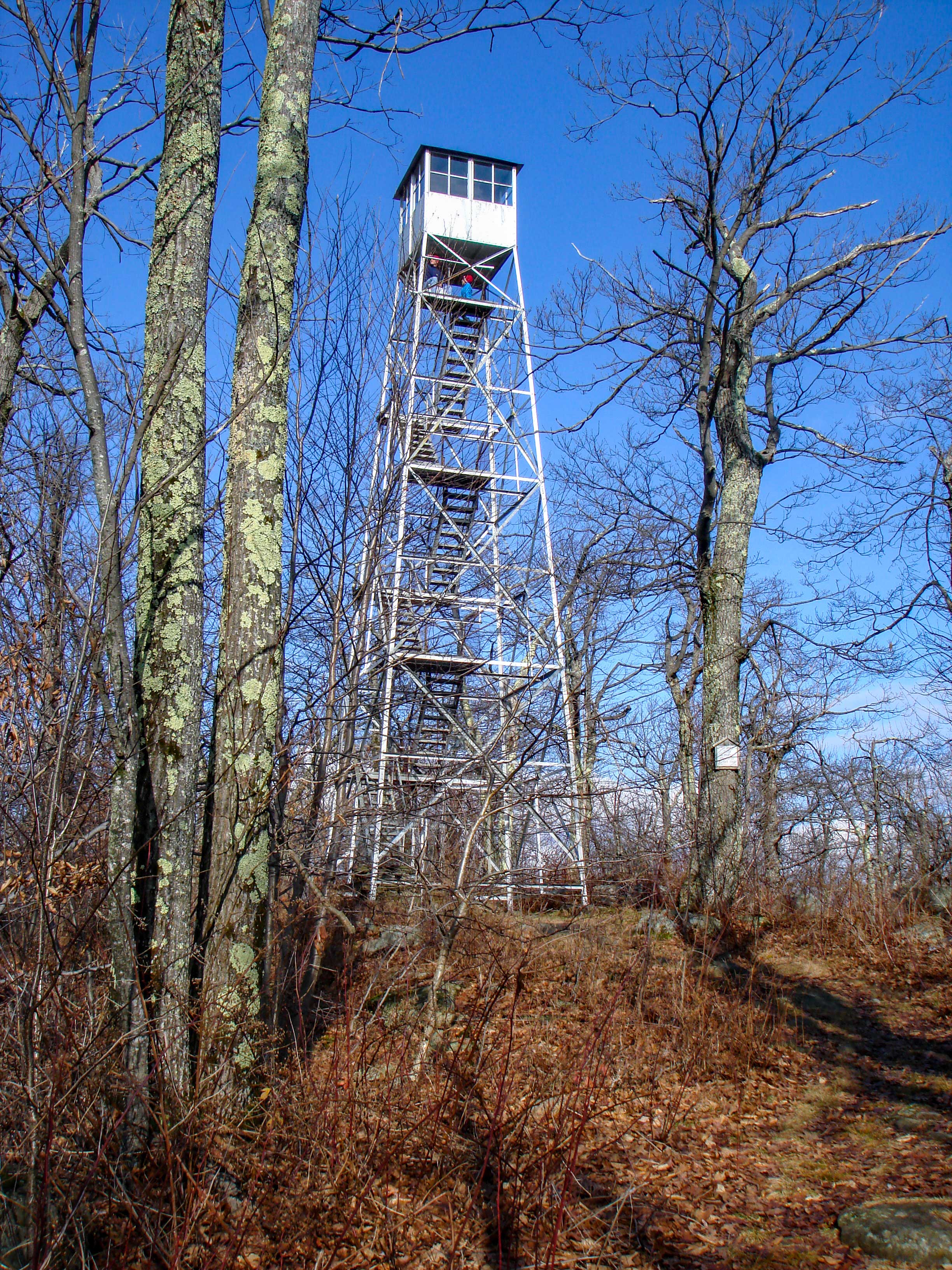 |
At mile post 2.99 n(elev 2,712) you will come to the Tremper Mountain Fire Tower. The fire tower can only hold 6 hikers at a time.
The fire tower is also located in the region of the summit of Tremper Mountain. For this hike, you can now turn around and hike back down to your car.
If you continue further up the trail, the trail turns into Warner Creek Trail. |
|
|
S E C T I O N S
|
W E A T H E R
|
O T H E R
|