|
Hike to Dry Brook Ridge Trail from Ploutz Road |
 |
At the entrance to the Ploutz Road Parking Area from Ploutz Road.
|
|
 |
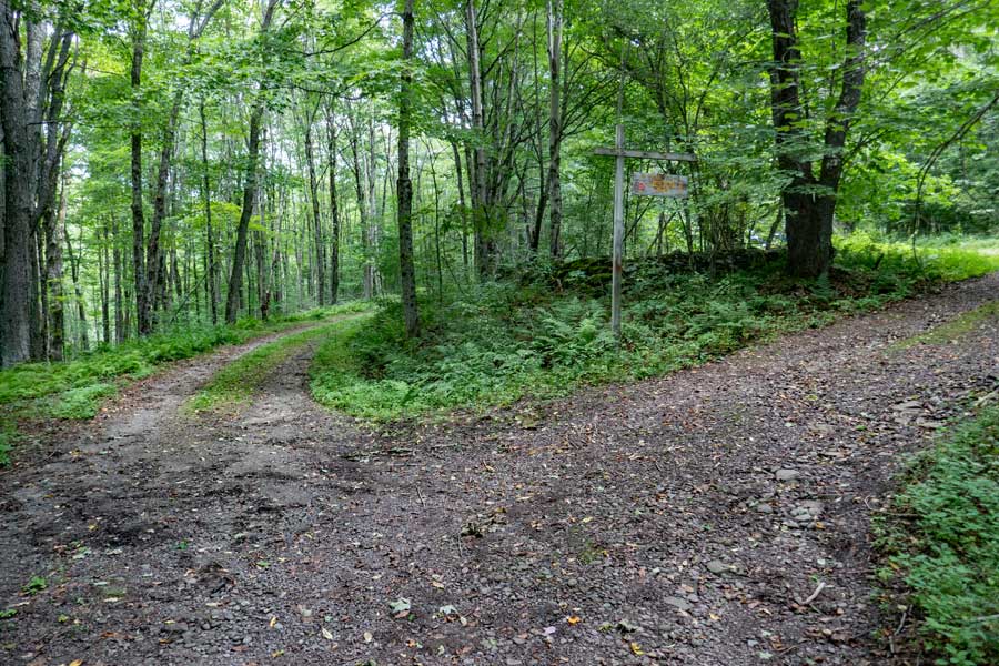
This is the DEC sign at the entrance to the Ploutz Road Parking Area. Unfortunately, all the mileage on the sign in inaccurate.
|
|
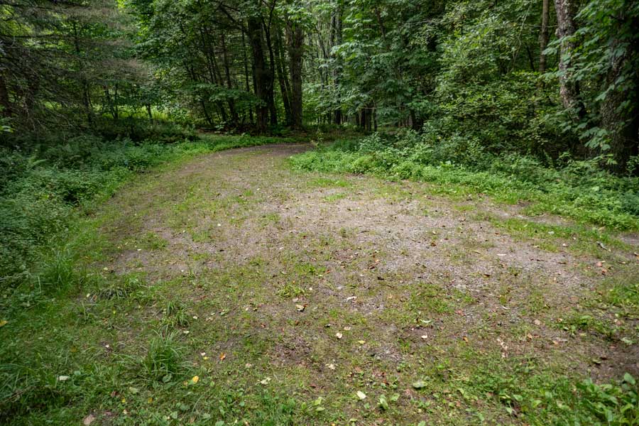 |
This is the Ploutz Road Parking Area. It holds about 3 cars.
|
|
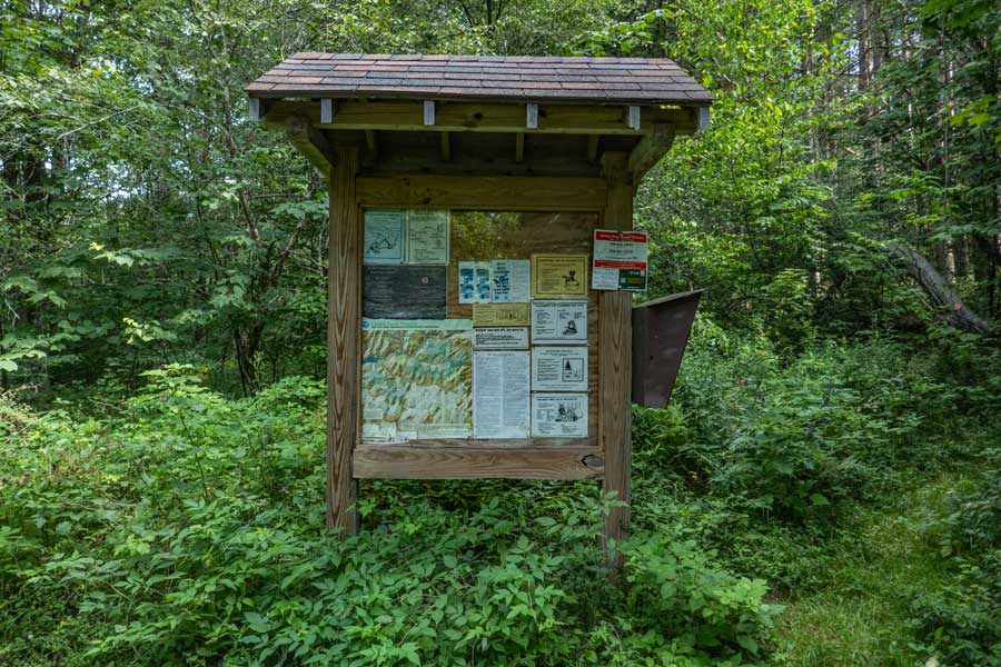 |
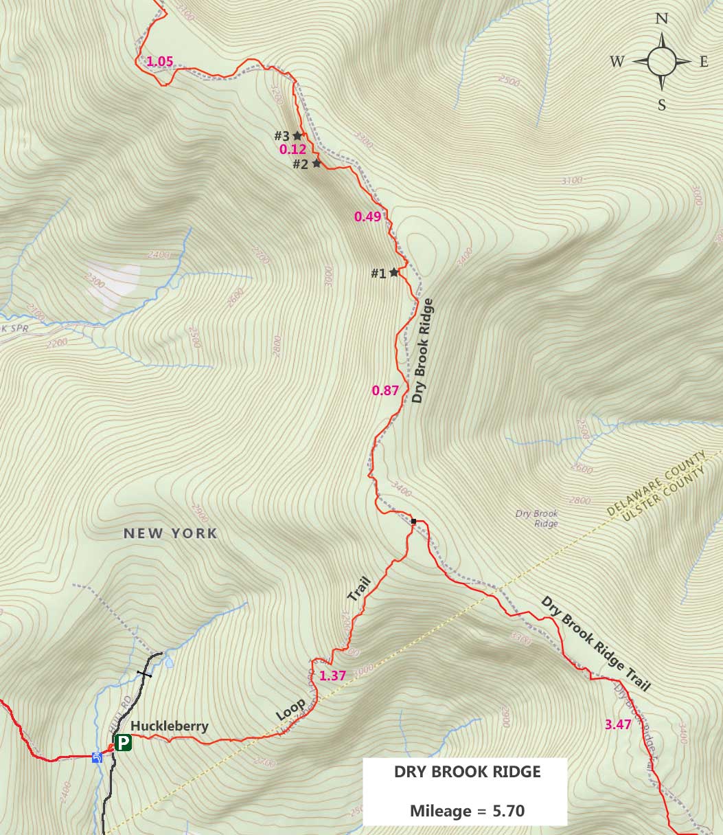
This is the Ploutz Road Parking Area Kiosk, Registration Box, and beginning of the Huckleberry Loop Trail from Ploutz Road.
Please register at the DEC Registration Box. Funds for maintenance of the regional trails depends upon how many people register for a hike in this region. Additionally, if you or someone else in your party have an emergency, Rangers and SAR will use the information in the registration box to find and help you. If someone goes missing, Rangers may call you to determine if you saw someone missing. Your life and someone else life may depend up you registering. Remember that this area is remote, and you will likely not see another person all day. On our visit no one had been here in the past week.
|
|
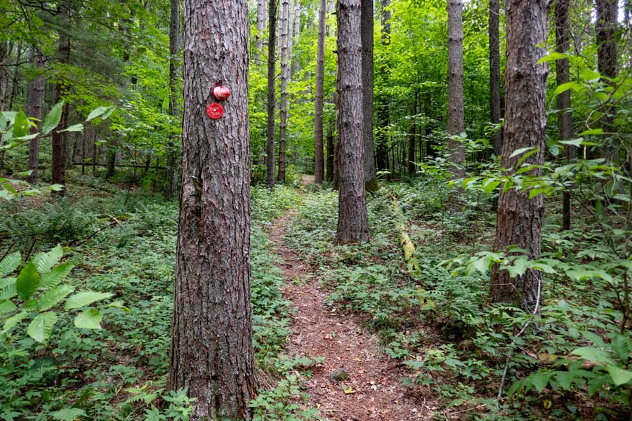 |
The trail starts out with an easy incline that winds through a nice conifer forest. This section of the Huckleberry Loop Trail will climb almost a 1,000 vertical feet in 1.4 miles, between Ploutz Road and Dry Brook Ridge Trail.
|
|
 |
As you climb up towards the Dry Brook Ridge trail on the Huckleberry Loop Trail, the vegetation will increase. So, pay attention to the Trail Markers. Most people can follow the path through the thick vegetation. In the higher elevations of the mountain, the conifer trees will almost completely disappear.
|
|
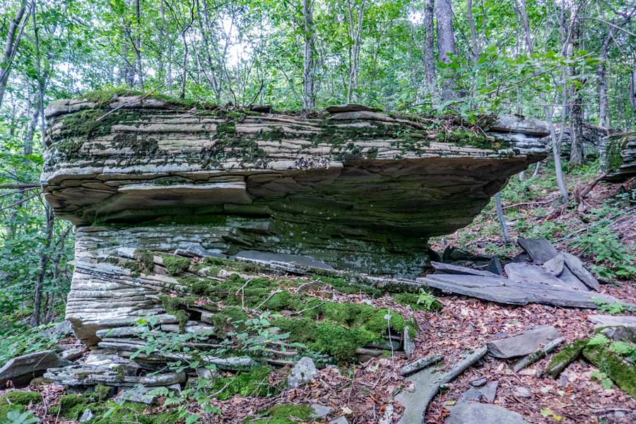 |
Just one of several unique rocks you will encounter along the way on this hike.
|
|
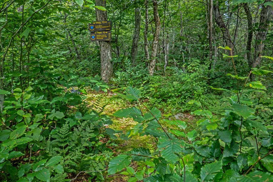 |
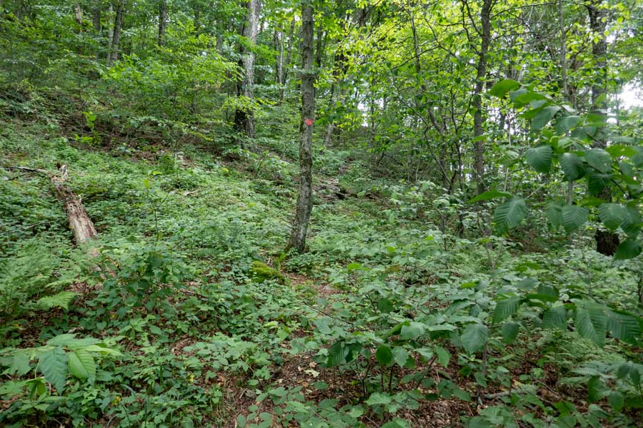
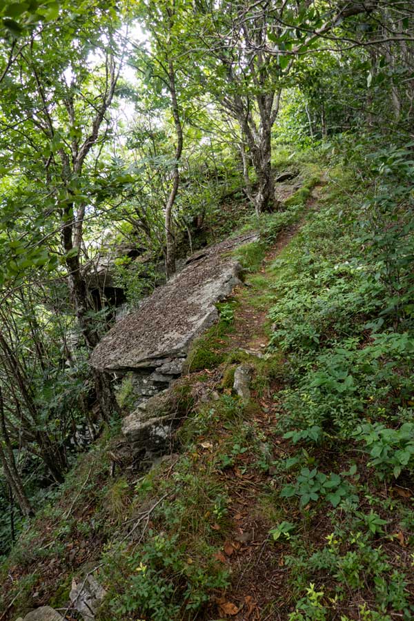
Just before you reach the Dry Brook Ridge Trail, the vegetation will get thick. There are a few braided trails, so just keep pushing forward. The Dry Brook Ridge Trail is close by. At 1-1/3 miles up the Huckleberry Loop Trail, you will encounter the trail junction to the Dry Brook Trail. Take a LEFT.
|
|
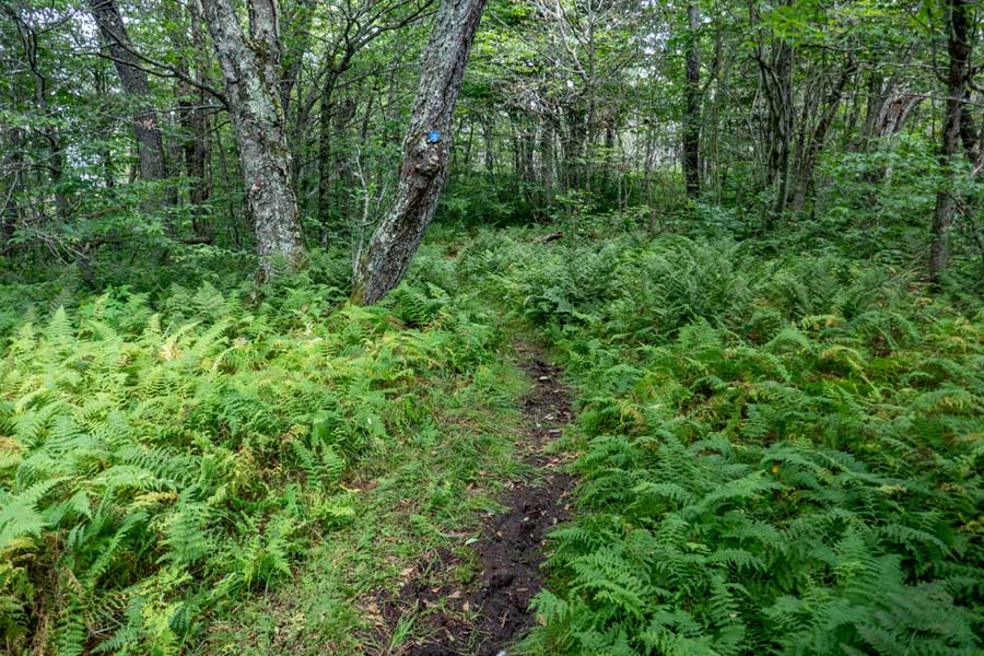 |
No shortage of fern glades on the Dry Brook Ridge. There are short ferns and tall ferns. With the name, "Dry Brook Ridge", you might think that the ridge is dry. Although it is true there is no water to collect, there is plenty of muddy sections of this trail. During a drought, it might dry up.
|
|
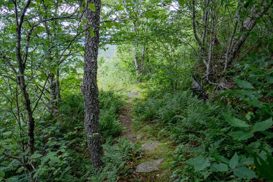 |
After almost 3/4 of a mile on the Dry Brook Ridge, you will come to the first View Point that overlooks the Huckleberry Valley. Be careful around the open section. Easy to fall off.
|
|
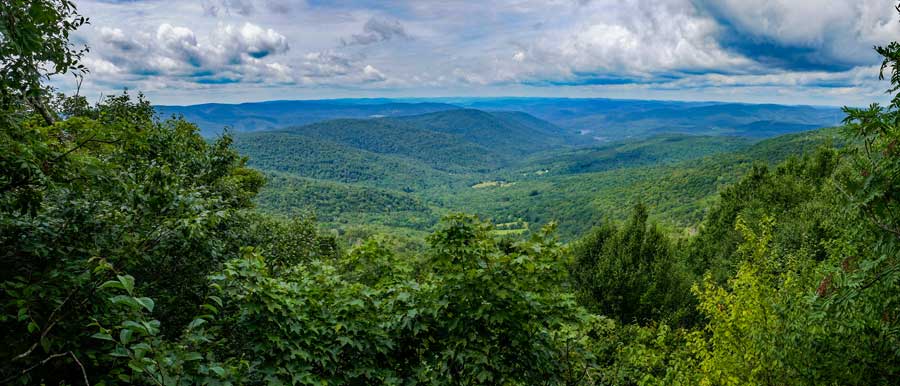 |
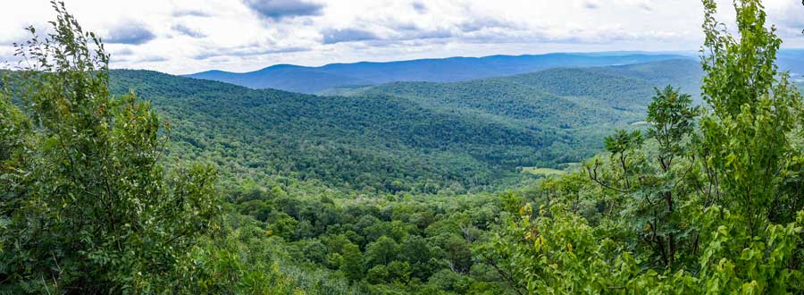
This is a panorama picture from View Point #1. On a nice clear day, you can far into the distance. Be careful around the open section. Easy to fall off one of the rock ledges.
|
|
 |
After you get done enjoying the views from View Point #1, the trail will then move back up on the ridge line. The trail will wind up-and-down the ridge for another 1/2 mile.
|
|
 |
 |
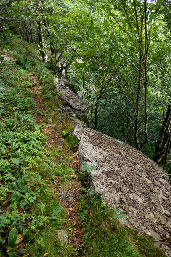
As you come back down off the ridge after about a 1/2 mile, it will come down to the very edge of the ledge. The ledge drops 40-50 feet. So, walk carefully here. If you fall here, you die.
|
|
 |
Here is another panoramic image of View Point #2 on the Dry Brook Ridge. It has a slightly different view of the Huckleberry Valley along with the Mill Brook Ridge in the distance.
|
|
 |
After you done enjoying View Point #2 on the Dry Brook Ridge, the trail climbs back up towards the ridge. You will hike another almost another 1,000 feet, you will see a trail on your left. This short trail will take you to View Point #3. You need to be careful hiking out to View Point #3. There is some exposure and danger. Many consider View Point #3 the best view on the Dry Brook Ridge.
|
|
 |
This is the 3rd View Point of Huckleberry Valley (Cold Spring Hollow) with the Mill Brook Ridge in the background. Once done, head back to the Dry Brook Ridge Trail.
Once you get done, reverse your course and head back to your car on Ploutz Road. Hope you enjoyed the three view points that overlook the Huckleberry Valley.
|
|
|
S E C T I O N S
|
W E A T H E R
|
O T H E R
|